This is one of my favourite walks in the Le Boulou area, when I don’t want a long drive from the main road before pulling on my walking boots.
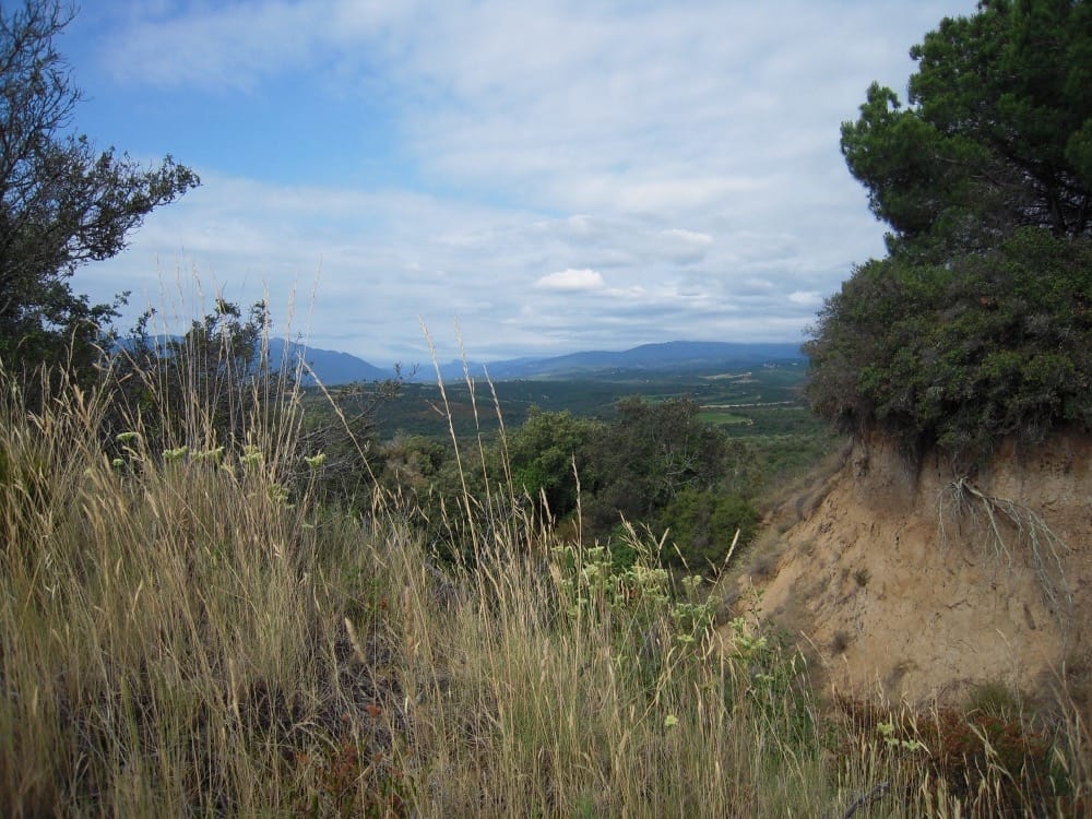
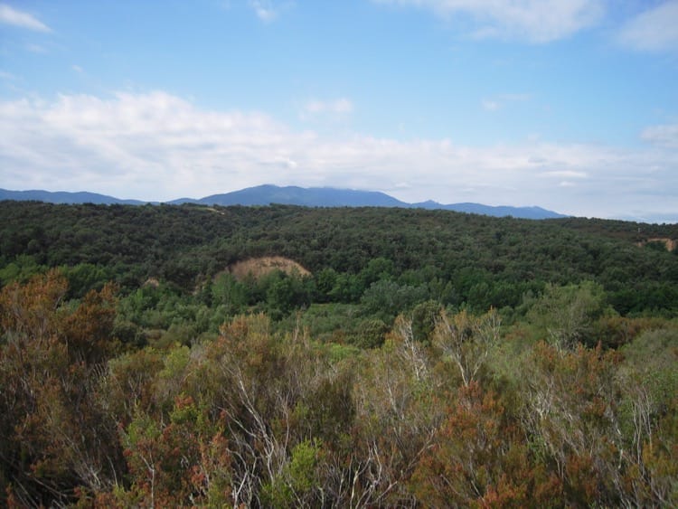
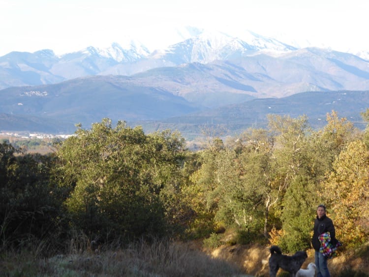
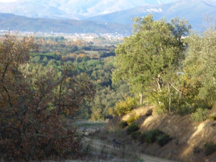
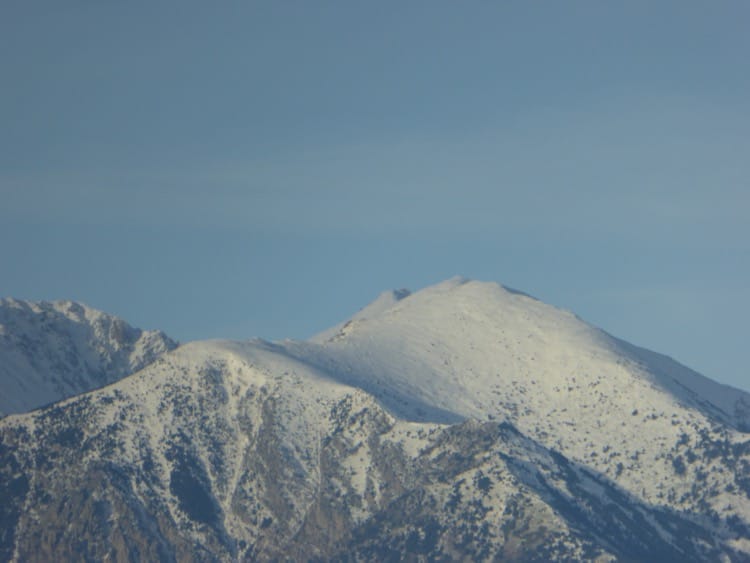
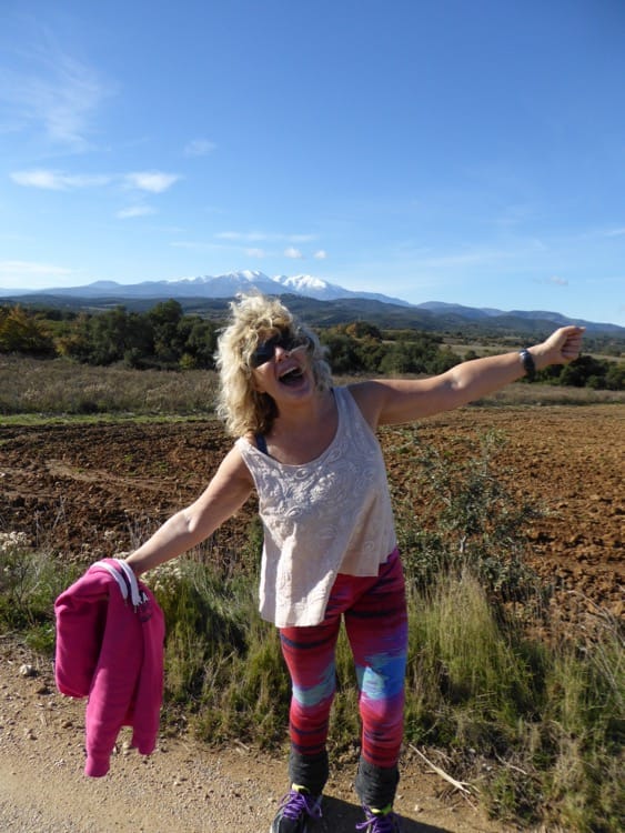
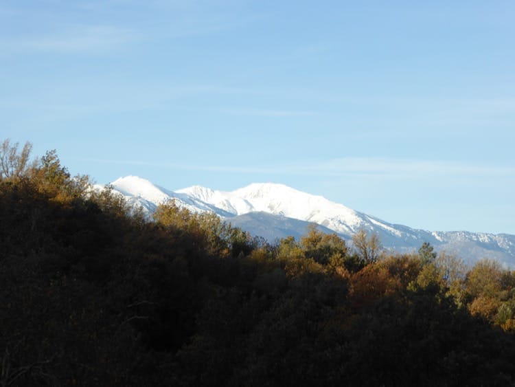
A one and a half hour circuit in the footsteps of the French and Spanish soldiers who fought in the bloody battle of Le Boulou, it is a historical eye opener. Stunning views over the Albères, Roussillon plain as far as the Med and across to Mount Canigo, are a stark contrast to the bloody tableau of wounded and dying, which once stained this peaceful landscape.
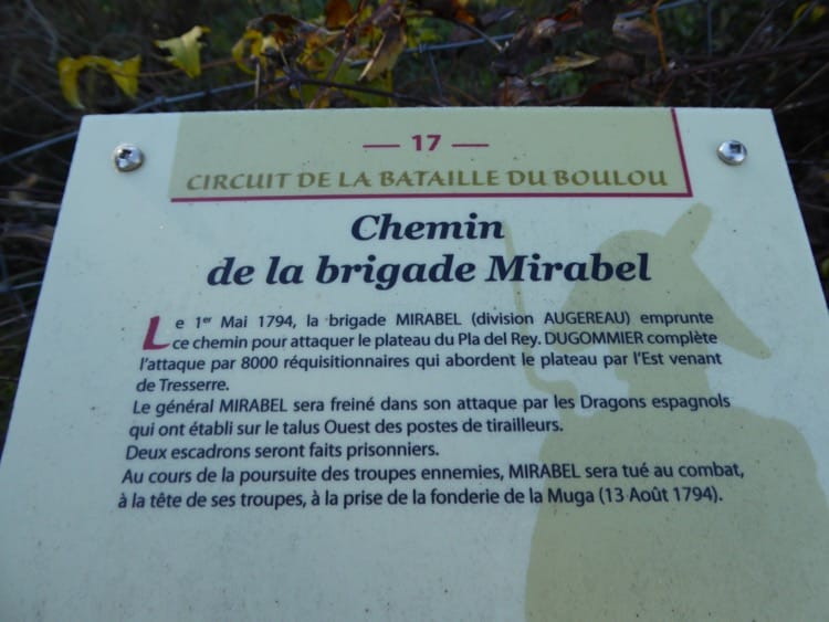
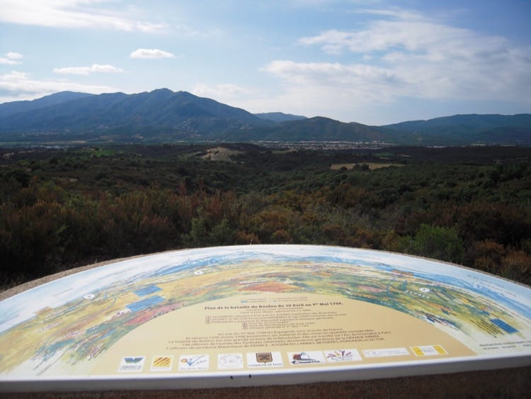
Conservationists and historians are busy restoring this circular walk. A fascinating panoramic viewpoint map looking out over the battle ground, situates the French and Spanish troops below, giving battalion numbers and positions.
Signs and explanations throughout the walk describe the manoeuvres of the troops during the battle, although many of these await renovation.
Getting there
Drive out of Le Boulou on the main road towards Perpignan. Look out for a small, rather awkward left turn after the level crossing, signed to Domaine Els Barbats, delightful, organic vineyard and degustation cave, which you will soon pass on the right. Pop in for a taster, or continue along this pretty road for around 3km, until a left turn indicates the site of the battle.
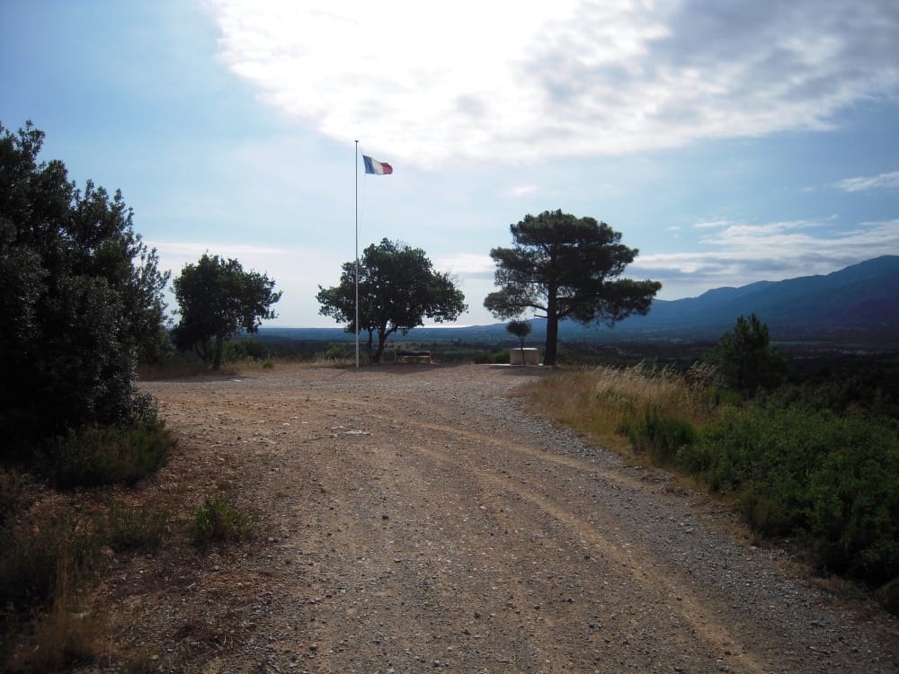
Follow the signs, and the distant French flag, (not always hoisted) to arrive at the panoramic site and free car park. This is the Pla del Rey, small plateau surrounded by vines and perched on the hill, from where the generals directed the troops below.
The Walk
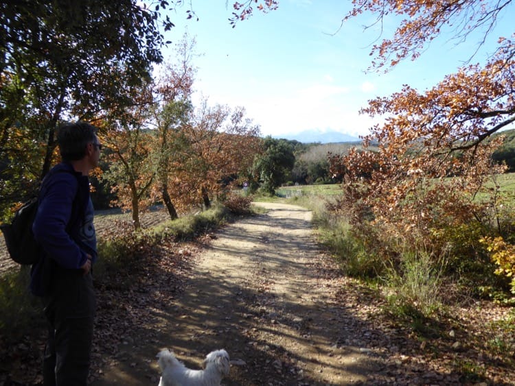
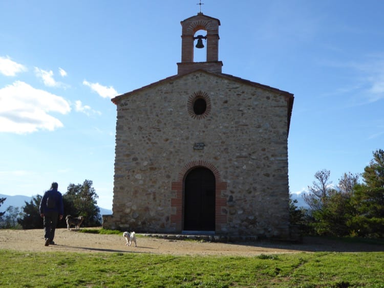
From the car park, with the orientation table on your left, take the sandy track and arrive at a T junction. Turn right onto the main, wide path, which will wind, climb and descend for around 20 minutes, until you arrive at a tarmac road. You may wish to turn sharp left for a little detour to the pretty Chapelle Saint-Luc, with shady picnic tables on a sunny day, but will need to retrace your steps back to the tarmac road to continue the circuit.
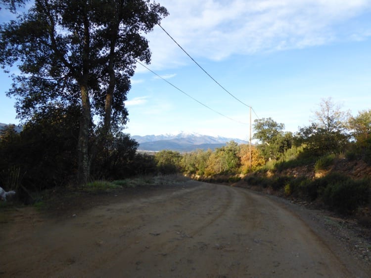
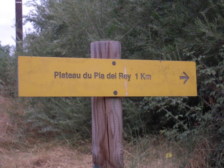
Back at the road, turn left, and continue until you arrive at a crossroads. Turn left here, following signs for Mas des Pins and Mas d’en Bosch, and continue down this road until you arrive at the bottom, where the road bends round to the right, signposted Le Boulou. Take the left hand track, signed Pla del Rey.
This rough and deeply rutted path quickly becomes steep and is the only part of the walk that might require some real effort, but you will be well rewarded when you reach the top and find yourself once again surrounded by those magnificent panoramic views!
Continue up this track, stopping every now and then to admire the views behind you (and get your breath back!) until you arrive at a T junction. Turn left, then right and you will find yourself back at the car park.
For a shorter circuit, follow the original instructions as far as the Chapelle Saint-Luc and take the path below the chapel down a short, steep hill, bringing you back onto the original path. Turn right and retrace your steps until the track forks off the right.
Follow this until it joins a junction and a quick left and right again will bring you back to your car.