WALK THE REGION WITH CHRIS AND TIM PARKER
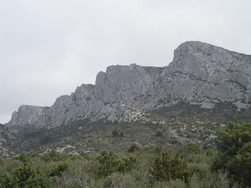
A 3h 30m – circular walk of 9 km with 450metres of ascent. Well signed route with yellow way marks and cairns along summit crest. Impressive cliffs in view on the ascent, internationally renowned with around 400 climbing routes.
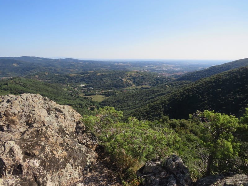
Views across Roussillon from the summit.
Walking boots essential.
Not advisable in high winds or poor visibility.
Access: map IGN 1:25000 Durban Corbieres 2547OT
[/vc_column_text][/vc_column][/vc_row]
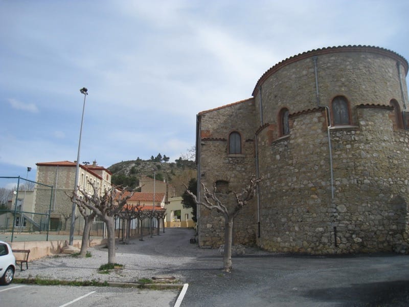
Approach Vingrau on D12 from Rivesaltes or from Espira de l’Agly behind Perpignan airport. Parking available by the Stade/Mairie in Vingrau or close to the cemetery.
Start of walk
From stade, leave car park, walk up Rue Millère past school. At main street turn right then second left into Rue de la Poste. Look out for yellow waymarks – some are on the ground! Right at crossroads, left into Place Jean Jaures, left again then right into Rue Bizet then rue Rameau. Up cobbled steps to old church, right alongside church then left behind it.
You are now in open land! Just follow the yellow way marks up the stony path among cypress and pine trees.
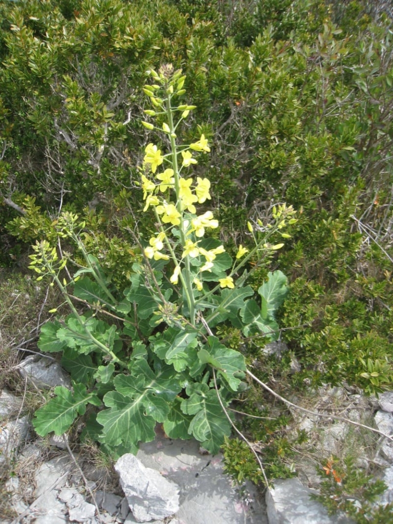
Path continues to climb through scrub and gently up the plateau du Planal de l’Achartell. Wild narcissus abound in spring as do grape hyacinths and other plants. Wild rosemary and thyme are everywhere.
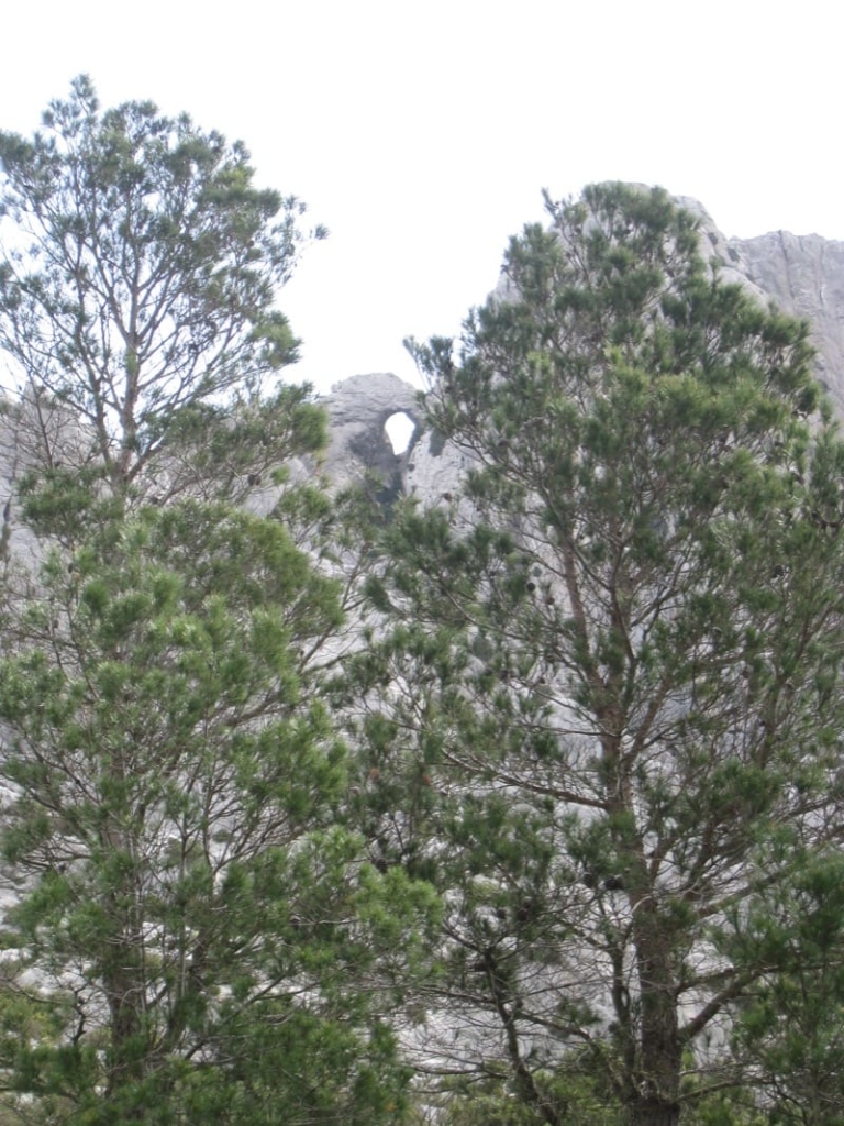
As you go higher look out for interesting shapes in the rocks from centuries of rain and weathering.

After 40 minutes cross the dry ravin des Couillets and turn left to continue on the opposite side of the valley. Look out for rock climbers as you continue to climb up the valley.
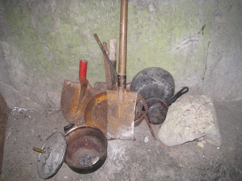
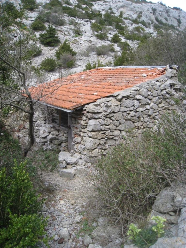
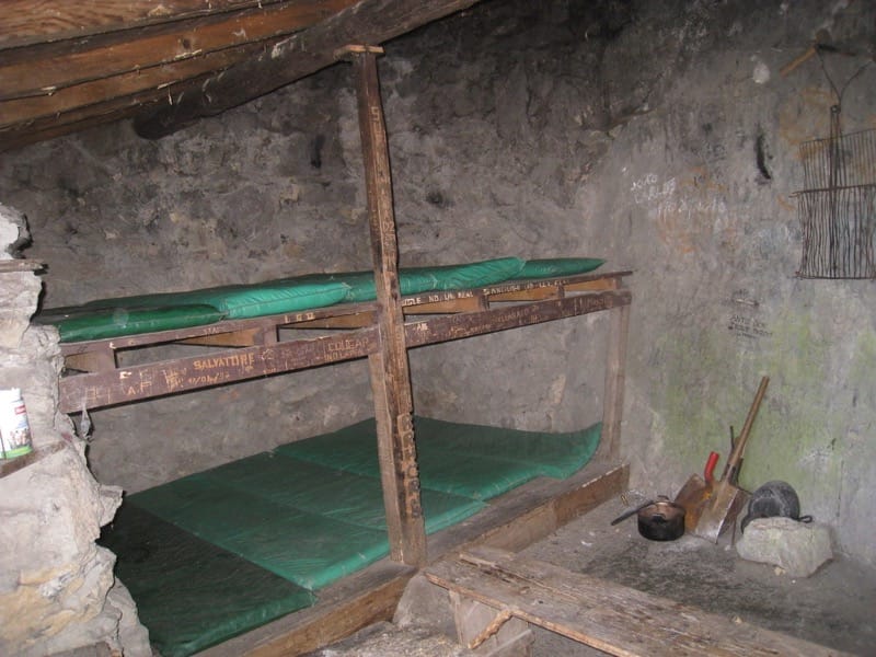
Twenty minutes later arrive at the Refuge Yves Bernard nestled in a pine grove. This sturdy refuge can sleep 6-8 on huge bunks, has a fireplace, pans, matches, spade etc. So no problem if you are benighted!
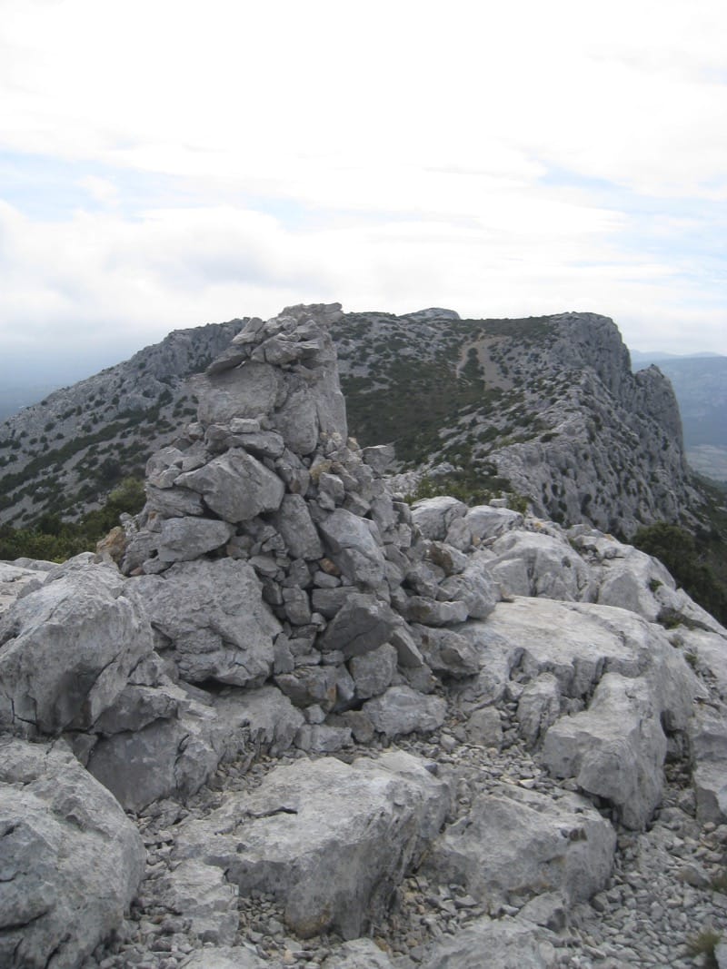
Another 25 minutes up the valley will bring you to its head at a T junction of paths on the col. Notice a huge cairn on your right. Ignore the yellow cross and take the path to that cairn. (553m) From here turn right for the summit ridge.
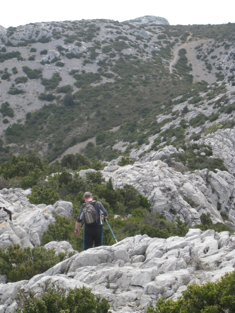
Yellow way marks and cairns help you negotiate the ridge. There are a few places where you must pay close attention to the route. Generally, the way across the first part of the ridge is very straightforward but there are a couple of tricky bits where going down on your bottom may be required – it all adds to the excitement!
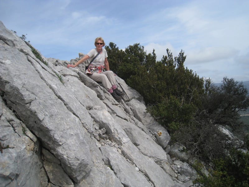
After the first section things get much easier, as you go along a series of summits at 564m, 576m, and 528m.
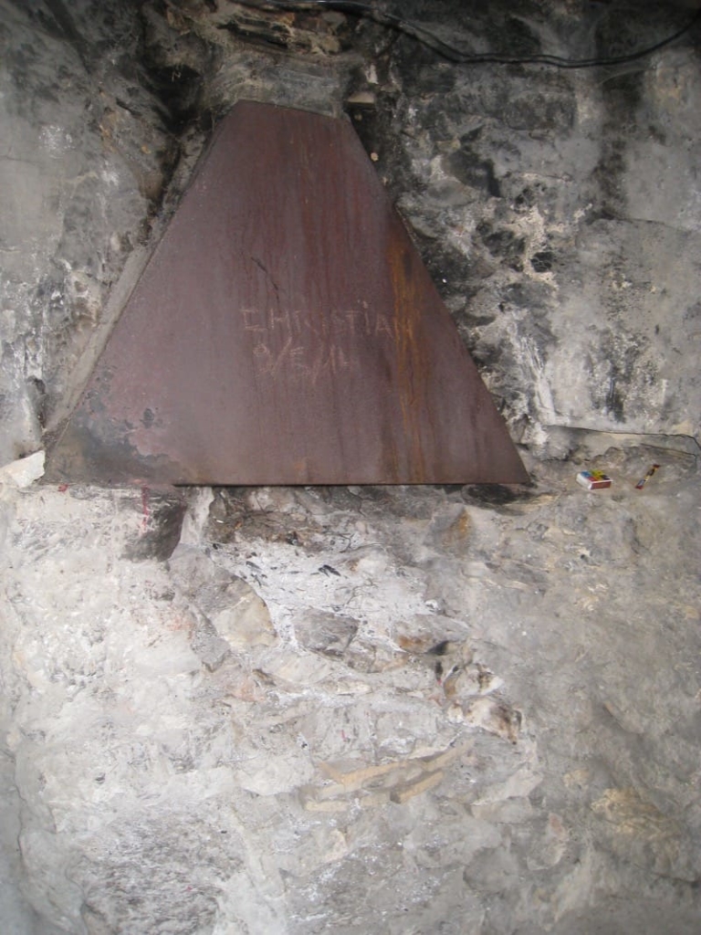
At the second one, (about 35 minutes from the col cairn), find a rusty old mast on the ground. Very soon after this beware of a cairn on your right at the top of one of the cliffs – it does not mark the route but is a place where you take a sharp left away from the cliffs so look out for the continuing cairns.
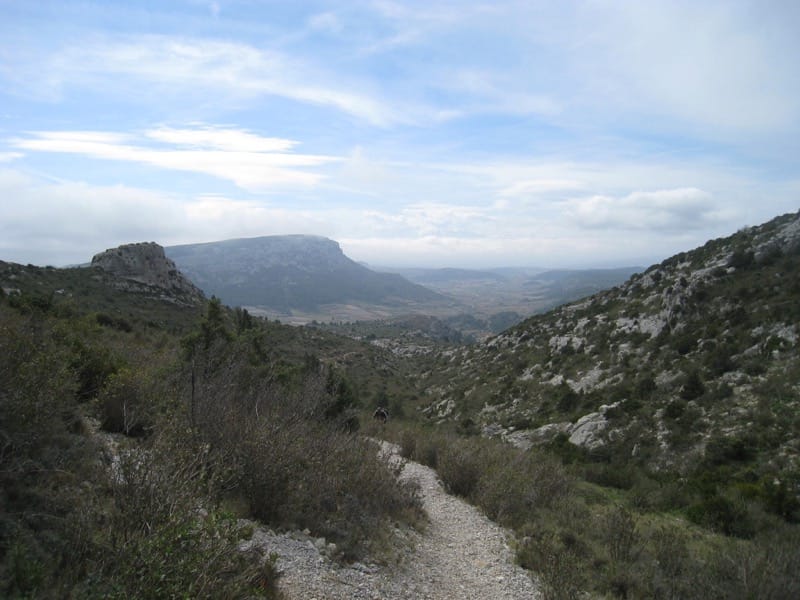
The path continues along the crest, gradually descending. It seems a long way, but bear in mind that the cliffs are alongside the road into Vingrau as well as continuing into the valley up which we walked.
From the fallen mast it is approx. 45 minutes to reach the D 12 on a sharp bend.
Cross road to a path descending below more cliffs, used for training rock climbers, until it reaches the vine covered valley floor.
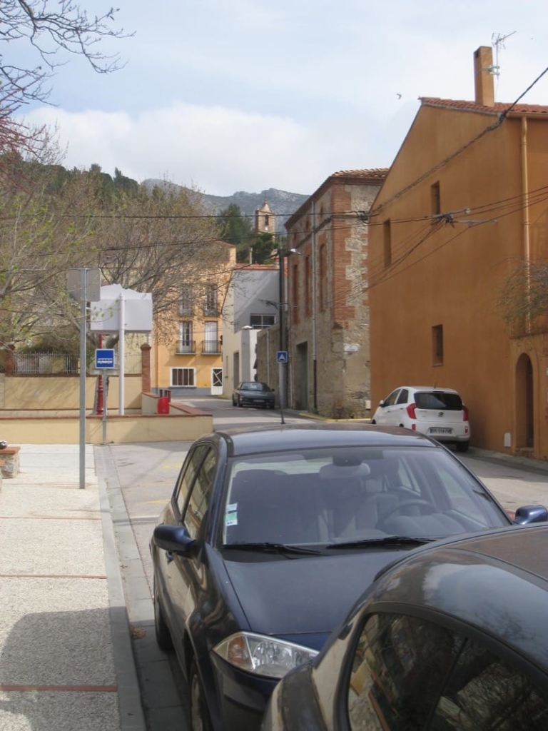
On reaching the main road, cross into Vingrau, passing chapel Notre Dame de Bon Coeur, the cemetery and then into the village. Find a way through the narrow streets back to the parking.