WALK THE REGION WITH CHRIS AND TIM PARKER
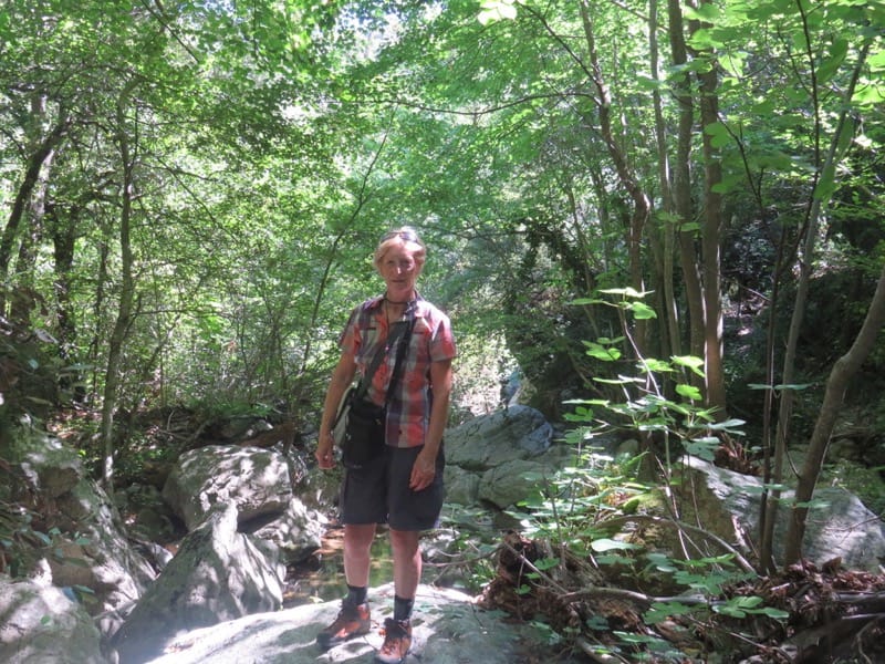
A delightful and very interesting circuit of 3hrs, with 460metres of ascent. Most of the route is in forest and offers good protection from a warm sun. Remnants of mining history, a tunnel through rock, views into a gorge – what more could you want! Good paths. Walking boots essential. Take a torch for the tunnel! River crossings are straightforward but route not advisable immediately after very heavy rain. Waymarking yellow lines present but patchy. Some cairns. An excellent medium level walk.
Access: map IGN 1:25000 Ceret, Amelie-les-Bains-Palada 2449OT
Start
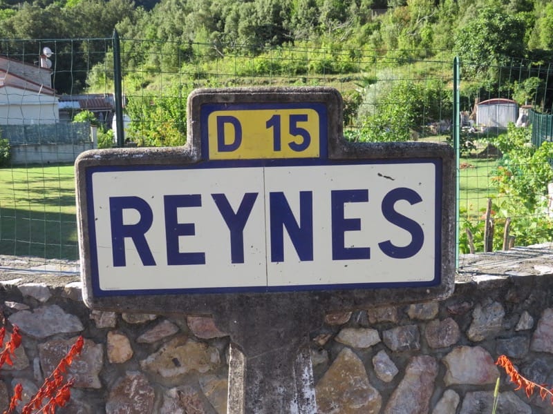
Take D115 from Le Boulou to Pont de Reynès. At entrance, cross roundabout by Lidl and take first left (sharp turn into narrow street – easy to miss!) D15 to Reynès (3km). Park by bus stop opposite Mairie or in parking field opposite Mairie.
The walk
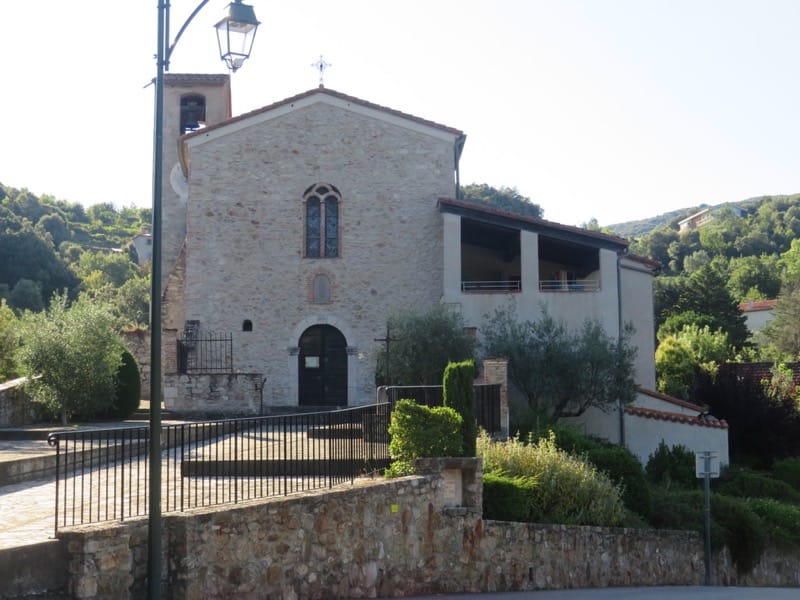
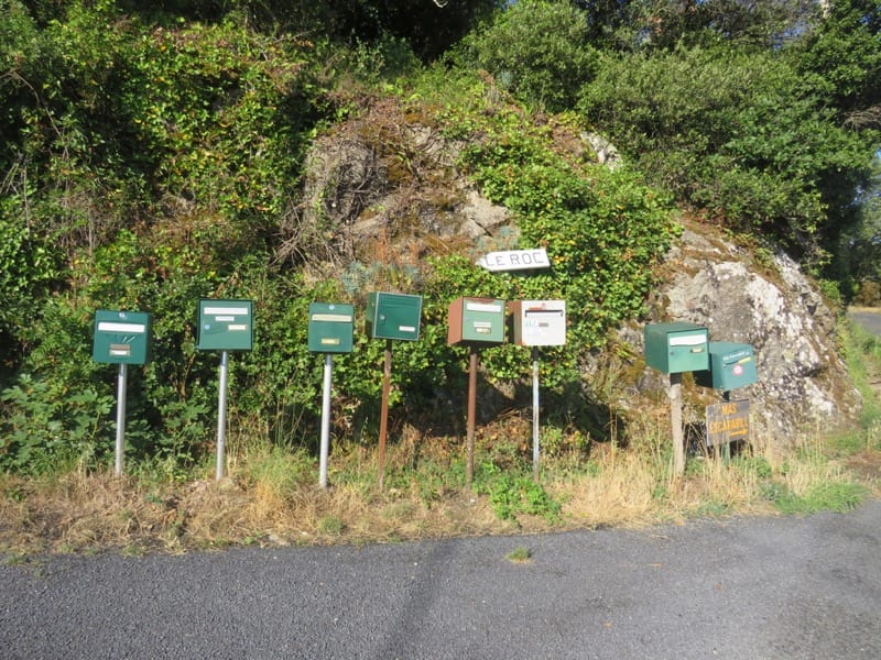
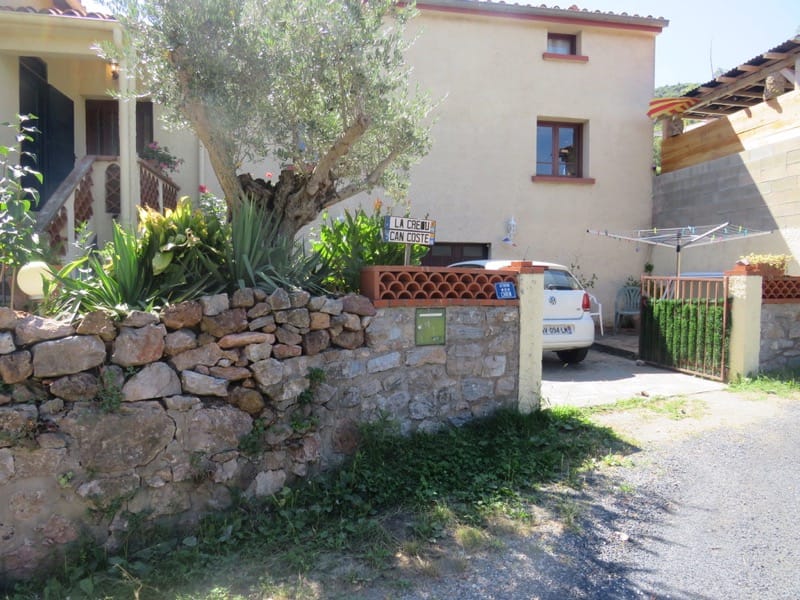
Take road to right of church and follow its zig zags uphill for about 500m to reach Mas de la Creu on hairpin bend. (Return path exits here.) Keep on tarmac road a little longer to reach set of post boxes and sign “Le Roc”. Turn left up broad track. (20 mins to this point)
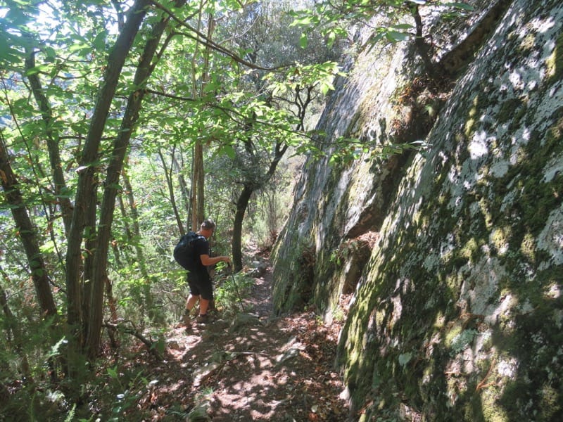
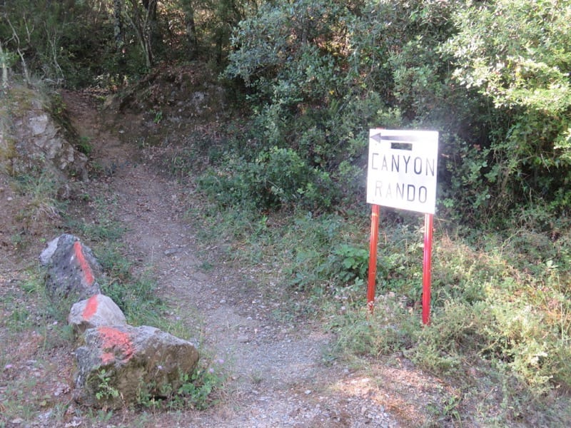
Follow track to a Mas and pick up footpath into the woods signed as Canyon walk (Canyon Rando)
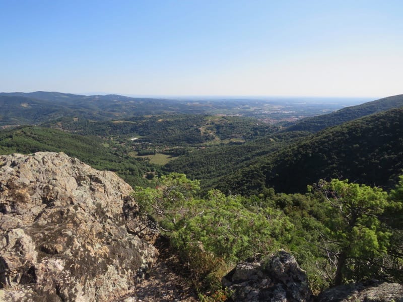
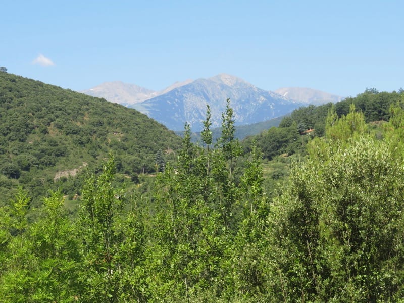
Excellent path leads up to small col with superb views over the Roussillon plain by some large rocks. (45 mins from start)
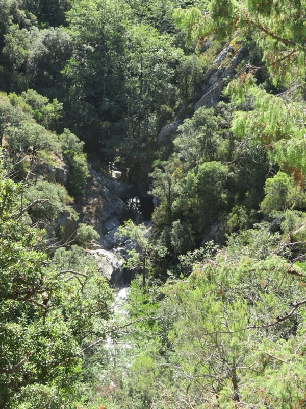
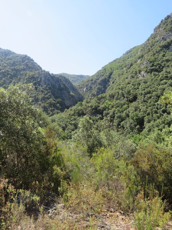
Continue straight on, soon descending with rock on right side and then contouring through the woods above the canyon with great views down to the river below.
At a junction descend left to cross the river. Climb up opposite side to arrive at the site of old talc mine.
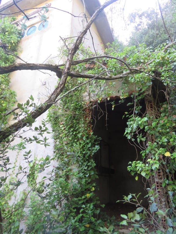
The talc/ fuller’s earth mine was operational from 1876 to 1978. The material was used in soap making at Marseille, porcelain making at Limoges and also used in curing leather. In 1929 an aerial wire system was installed to carry the wagons down towards the valley and remnants of this are seen on the descent. The buildings are in bad repair and the entrance to the mine is closed off but it is amazing to think that it operated for so long. In 1930, for example, 440 tons of talc were mined from this spot from some deep veins underground.
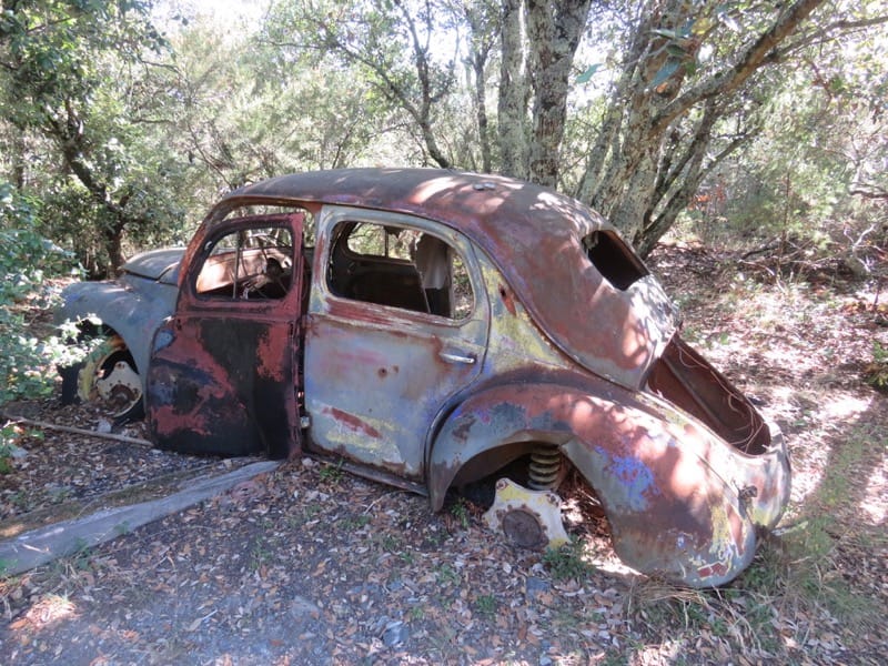
Bend left past the old mine buildings and follow the grassy piste, which soon becomes stony and rises slightly. On reaching a cairn on a bend (right hand bend leads round to a Mas) descend footpath to left, pass a burnt out car and soon arrive at the first of a number of support towers for the wires which took the wagons away.
Continue downhill, passing under a couple of the wagons above!
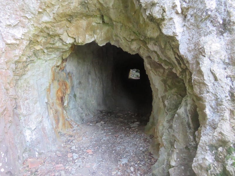
At small cairn, where a single wagon is on the ground, turn left. Follow path down to a tunnel. Pass through carefully with aid of torch. Mind your head!
On emerging, find ruined Mas Calsan but do not enter as it is in a dangerous state. Go round building to right and pick up long flight of worn steps on right. Take care descending.
Follow path downhill, avoiding all paths to left and finally arrive at a flat area by the river with a ruined building on left. Continue to river and cross via large rocks.
Climb up on other side via little zig zags then contour round hill to descend at Mas Cristofol. Turn left on the access track and follow it up, past a couple of properties, to emerge at Mas de la Creu. Turn right and descend to Reynès taking in a wonderful view of Le Canigou between the hills.
There are no refreshments in Reynès itself, but nearby Pont de Reynès offers a choice of places to eat and drink, although most may be closed out of season.
I would like to send it to a friend of mine couldn’t find a way to do that so maybe you should to add that to the next one otherwise wonderful
I think for the time being, the best way is to copy the address/link at the top and send like that. It is certainly something we need to look at. So glad you enjoyed it.