by Chris and Tim Parker
A circular walk of 8.5 kilometres onto Les Monts d’Estagel. Time: 21/2 hours with approx. 140m of ascent.
The walk offers great views of the Corbières ridges and valleys and beyond. Although this is a straightforward walk on easy pistes and tracks with some portions of road, it has a sting in the tail up a lovely rocky valley so walking boots are essential. Walking poles helpful.
Waymarking is yellow triangle and 2 dots as the route is also possible by VTT (mountain bike). The route offers little shade so is a good one for cooler days.
Access
Map IGN 1:25,000 Thuir ; Ile sur Tet; 2448 OT
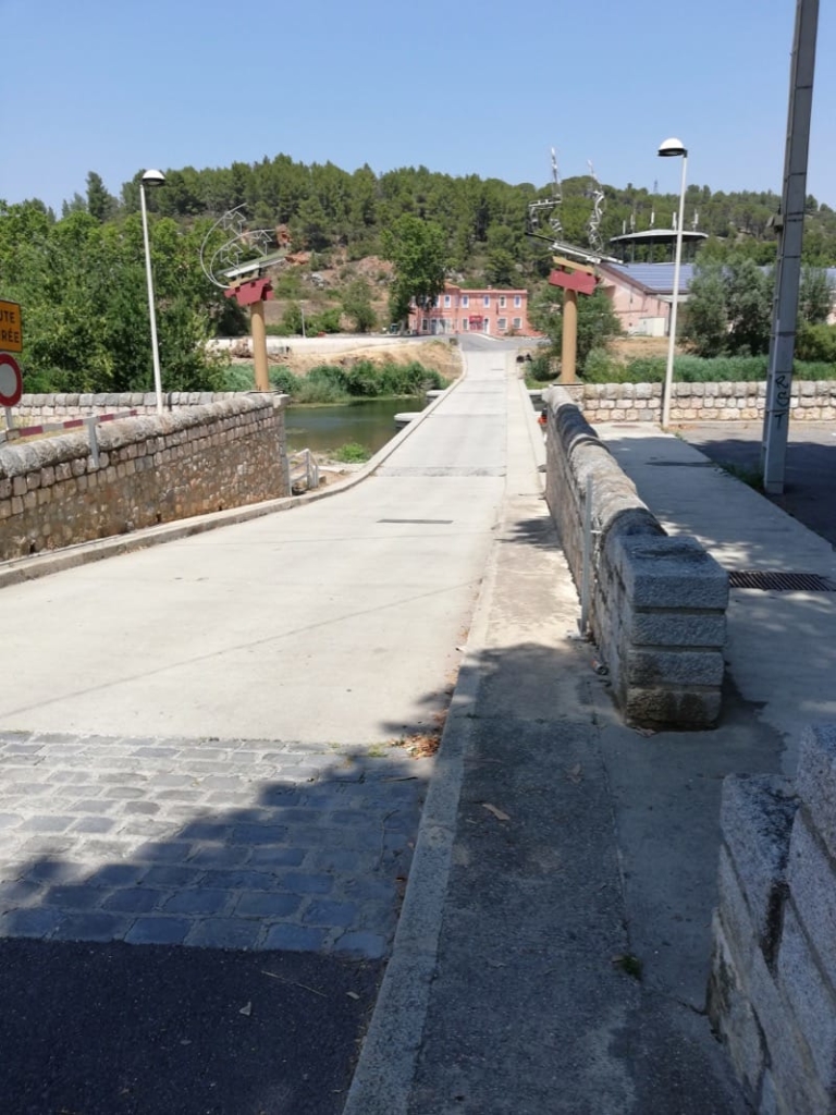
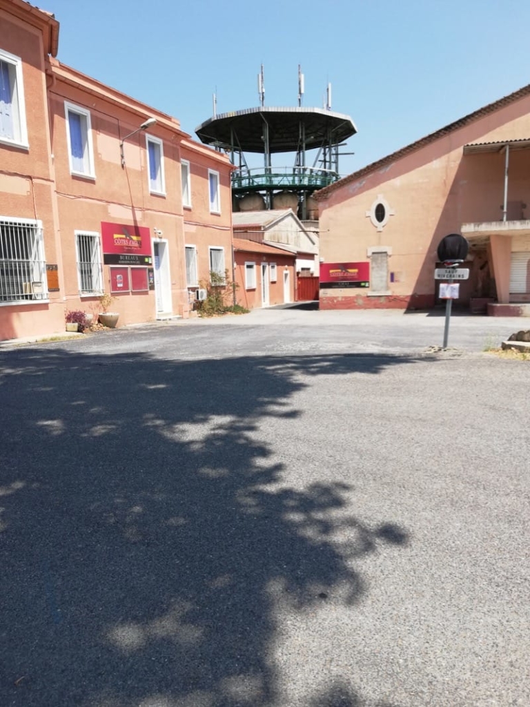
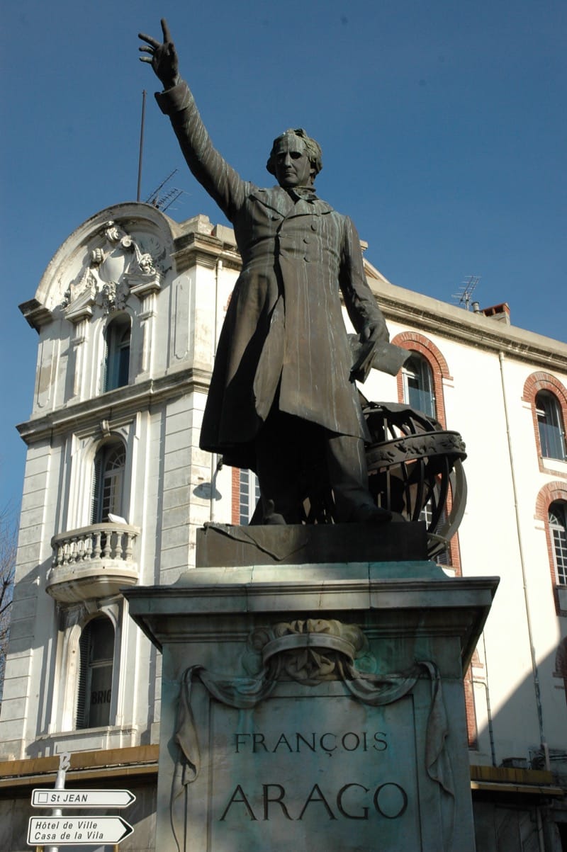
Take the D117, direction Foix, from near Perpignan airport. Follow this road via Casa de Pêne to Estagel. Turn right at the Place Arago (large Brasserie on left) to find shady car park on the right just before the gué /ford across river.
Start of walk.
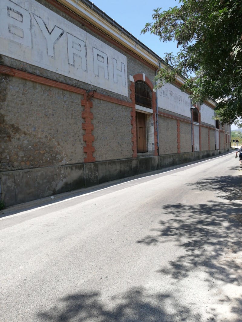
Cross the river Agly using the passage à gué and reach the Cave Cooperative. Bend left with the road and pass older Cave buildings still bearing the names BYRRH and Violet (family name) associated with the production of that famous drink.
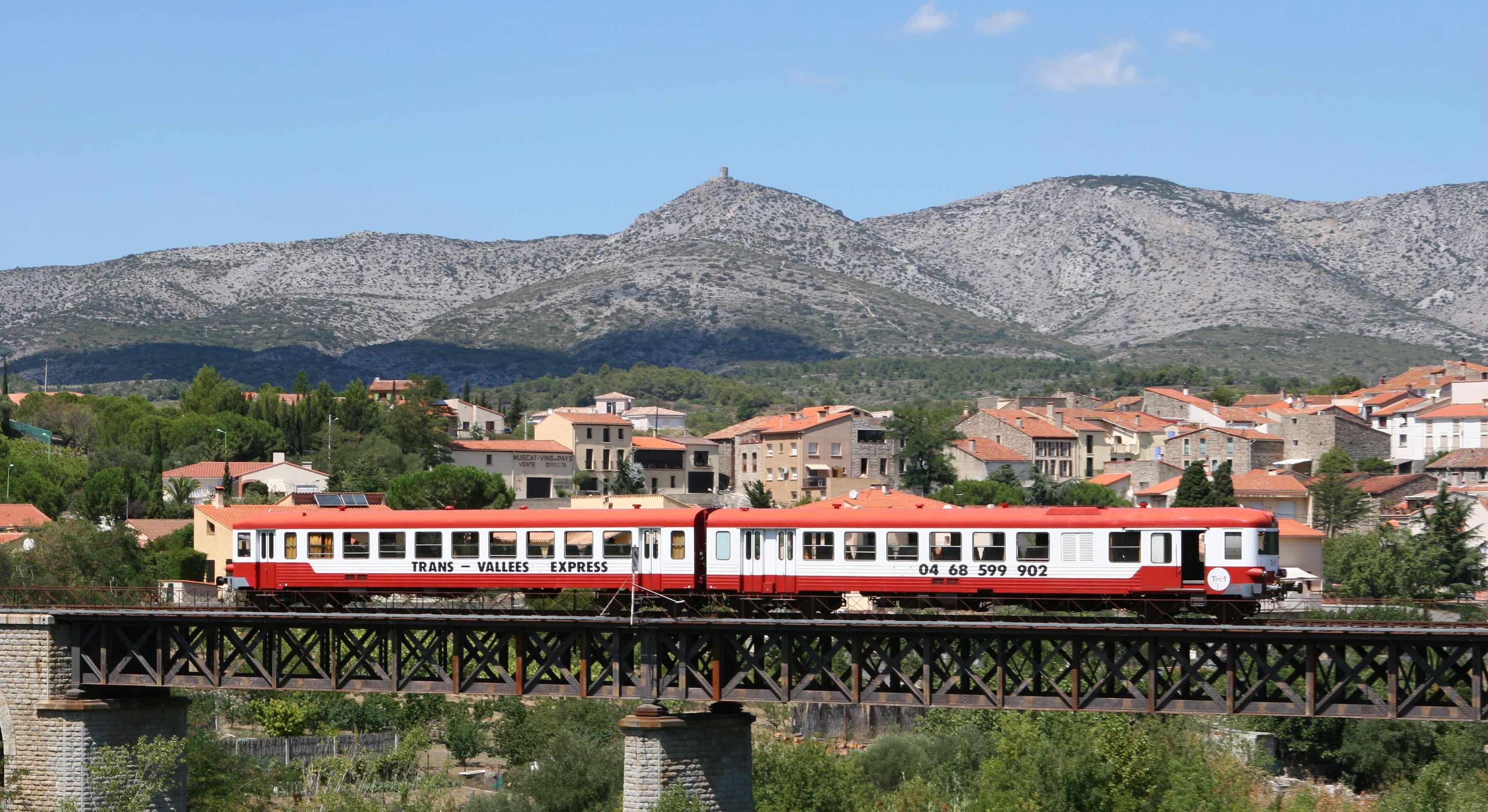
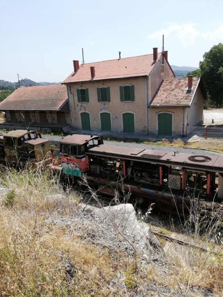
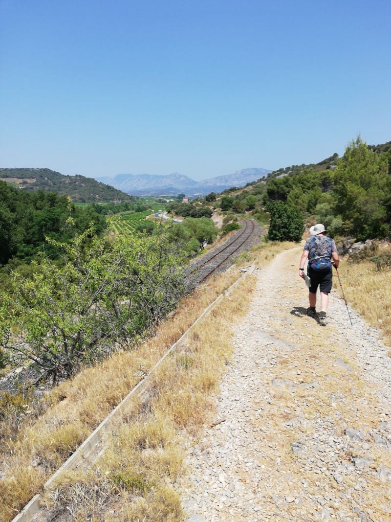
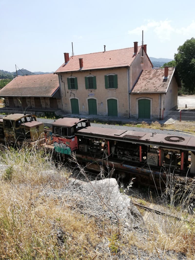
Reach the D117 and walk carefully along road in direction of Maury for 50 metres to turn right and cross a level crossing. This the line for the Train Rouge which follows the Agly river along the valley from Rivesaltes.
Turn left and follow the track, parallel with the railway, for 1.3km. The path narrows after a bridge under the railway on left. Continue straight on to reach the D611.
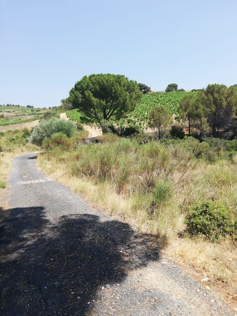
There is evidence of vineyards where they no longer exist. A feature of the area.

With no direct path ahead you have to cross the level crossing, go down to D117, turn right and walk along it for 300m. Fortunately there is a very wide section beside the main carriageway.
Turn right, under the railway, at Stop sign where a small road exits onto the D117. Then take path to left beside railway.
Continue into vines, follow edge of field bending right and then dropping down left onto narrow road.
Turn right and follow the road uphill. Just after two pines standing together there is a single pine. Here, take the stony broad track to the right and continue uphill.
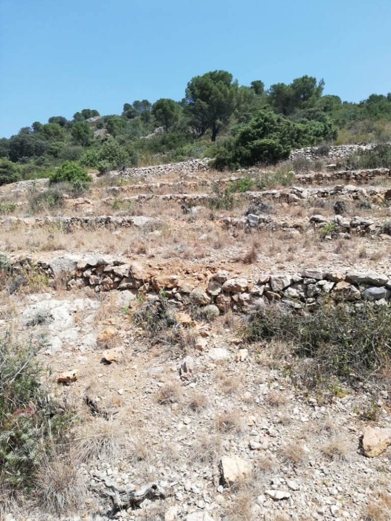
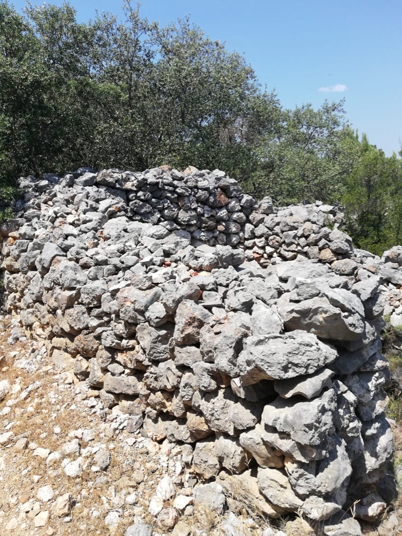
When you reach the top of the hill turn left and appreciate the views through 360 degrees – Força Real, Quéribus and Peyrepeteuse – and beyond. Follow the track as it bends in a southerly direction, eventually dropping down to the D611. Notice the huge piles of stones – years ago workers went to a lot of trouble to clear the fields!
Turn right and go downhill along the road for about 300 metres, turning left onto a footpath in a rocky gully between the hills. The sandy, stony path leads to the top of Les Monts d’Estagel. It is quite a steep ascent but not too long. At the top, turn left and follow the track, ignoring all side tracks.
Again, there are huge piles of stones, huge thick walls and outline of shelters made by workers of yesteryear clearing the ground for agricultural purposes. Nature has now reclaimed the area except for a few vineyards but the monuments to their work live on. Some of the walls are 2-3 metres high and 2 metres wide.
Keep on main track rising slightly and ignoring a double track off to left. Track becomes tarmac.
From here, Estagel comes into view on the descent. To the left, the rivers Agly and Verdouble exit their individual valleys to converge near the town. Keep on the narrow tarmac road as it reaches some new houses opposite Estagel station.
Cross the railway at level crossing, exit onto D117, turn left for 50 metres and take second road on left back to the Cave Cooperative, Cross the gué and return to car park.
Estagel is a place people often pass through on the way to somewhere else but if you have time, why not make time to take refreshments there and wander through the streets behind the Place Arago and on the Porte de l’Horloge side. Francois Arago, famous physicist and astronomer was born in the town in 1786 and his father was the Mayor. Francois was also co-founder of L’Independent newspaper in 1846.
If you have the energy or want to return on another day, there is a walk up to the Chapel of St Vincent. When arriving at La Place from car park turn left along D117 to le ruisseau de la Grave. Turn right rue de la Republique and then left rue Rouget de Lisle. Reach the summit from here. It offers great views and a nice picnic area.
Le train Rouge runs between Rivesaltes and Axat between June and September. Bookings can be made online. There are full and half day options depending how far you wish to travel. Discounts for group bookings.