
UPDATED AUGUST 2026
Pic Carlit via Puig de Sobirans… with MIKE RHODES
A Quieter Route to 2,921m
This walk was originally published over ten years ago. We have checked the route and access arrangements, but mountain conditions and regulations can change. The route over Puig Sobirans involves unmarked terrain, route-finding and exposed scrambling, and is suitable only for experienced mountain walkers. In summer 2026, access to Lac des Bouillouses is regulated and the old navette information and prices in the original article are no longer current.
Looking for an alternative to the busy normal route up Pic Carlit? This demanding circuit via Puig de Sobirans offers spectacular scenery, quieter trails and a more adventurous approach to the highest summit in the Pyrénées-Orientales.
At 2,921m, Pic Carlit is the highest summit in the Pyrénées-Orientales and, with such status, comes considerable popularity.
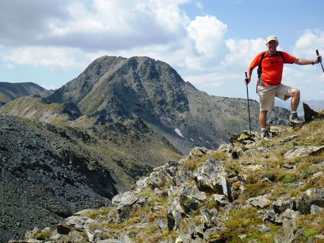
On a fine summer’s day, the normal route can be trodden by hundreds of hikers, all of them making for the splendid summit. My favourite route involves rather more effort but gives far more satisfaction and, if you start early and choose your day carefully, offers a much quieter approach.
We start at Lac des Bouillouses, near the Hôtel Les Bones Hores, after the beautiful drive up the valley from Mont-Louis.
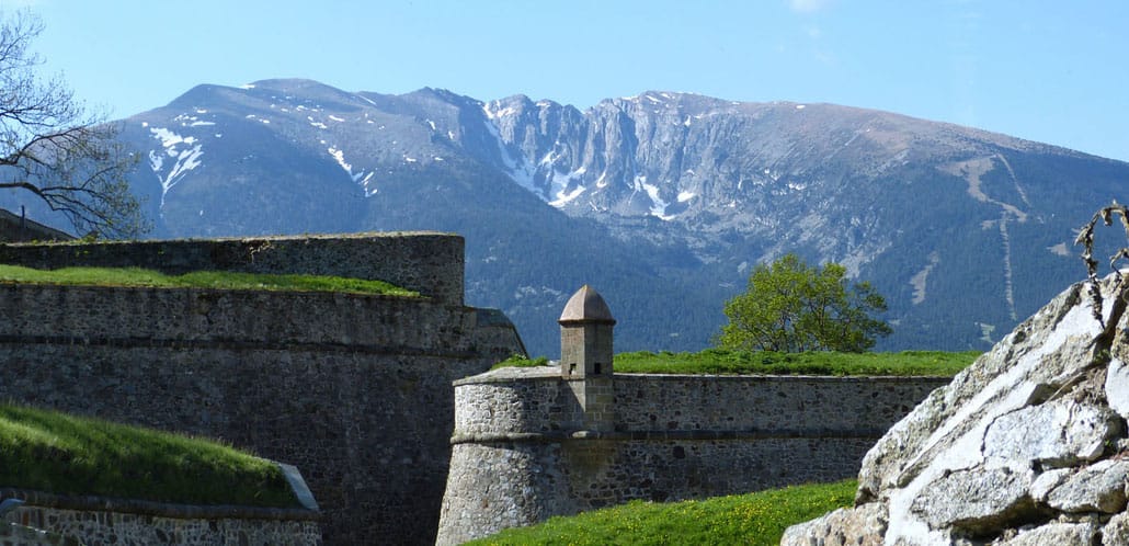
Access note:
Access to Lac des Bouillouses is regulated during the summer season. Check the current shuttle timetable, fares and road restrictions before setting out.
This is a long mountain day, with roughly 1,000–1,200m of ascent depending on the precise line taken. Allow around 4½ hours for the ascent for a fit party and considerably longer if route-finding is slow or conditions are difficult. The descent by the normal route is likely to take another 2–3 hours.
The route is not a straightforward hiking trail. The first part is well established, but higher up the waymarks and paths become intermittent and the Puig Sobirans section requires good navigation. The approach to Carlit de Baix and the final section to the summit involve exposed rocky ground and scrambling. Anyone uncomfortable with exposure or loose rock should use the normal route instead.
Good weather is essential, both for the views and for navigation.
The mountain flora is superb and, with luck, you may see marmots, isard, mouflon and ptarmigan. Griffon vultures and golden eagles can also be seen in the area.
THE CLIMB
- From the Bones Hores, take the broad but rocky, waymarked path climbing westwards into a shallow valley. Take care to follow the waymarks, as the popularity of the area has created numerous false trails through the trees.
- After about 30 minutes, at approximately 2,140m, you reach a large cairn and a split in the path. Take the right-hand branch, passing Estany del Viver and climbing through a glacial overflow channel on a good path towards Estany de les Dugues.
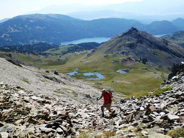
- At the south-east corner of the lake, cross the stream by the small bridge and follow the track northwards, climbing towards Estany de Castella.
- From here the character of the walk changes. Major paths and obvious waymarks largely disappear. Contour around the eastern side of Estany de Castella, then climb the steep hillside to the north, passing the 2,381m spot height on your right before turning north-west into a shallow rocky valley.
- A faint path climbs the steep, loose slope into a second valley. Follow this westwards to a small rocky knoll with superb views southwards.
- Ahead, to the north-west, is a broad ridge leading towards a summit of around 2,780m. Follow the ridge for roughly 400m, then contour left across the slope towards a shallow col. On the ridge you will see what initially looks like a giant cairn but is actually a small shelter. It makes an excellent place for a break.
- From the shelter, continue westwards along the rocky ridge and out onto a broad plateau. This is one of the places where navigation can become particularly difficult in mist or cloud, so don’t rely on simply picking up a visible path.
- The shelter is approximately at 42.58392N, 1.94739E. From here you should aim for the prominent stele at approximately 42.57892N, 1.94302E, a memorial to a young climber who died attempting Carlit in winter.
- From the stele, the route follows the crest of Puig Sobirans. This is a spectacular and, in good conditions, relatively straightforward ridge walk, with superb views south towards the normal Carlit route and north towards Étang de Lanoux.
- Continue towards Carlit de Baix, at approximately 2,806m. From here you get your first good look at the final challenge: the rocky section leading across the brèche towards the summit of Carlit.
- The route descends slightly to the left of the summit of Carlit de Baix. Do not simply follow the path all the way down. Instead, after descending a few metres, follow the ledges to the right until you reach the rocky ridge and the beginning of the brèche, the narrow gap between the two summits.
- The brèche can be crossed without technical climbing in good conditions, but there are several scrambling steps and exposed sections. Take your time and be particularly careful if other parties are moving in the opposite direction.
- Once across, the normal route heads towards loose ground on the left. Rather than committing yourself to the gully, use the easier rocky steps on its left-hand side to reach the col.
- From here the ridge can be followed more directly by confident scramblers. The easier line descends slightly to the right before climbing another rocky gully towards the lower of the two Carlit summits.
- From there, join the well-trodden final path and make your way to the summit flag.
- The top of Carlit is one of the most spectacular summits in the eastern Pyrenees. The mountain falls away steeply on all sides, particularly to the west towards Andorra. On a clear day the panorama is enormous, with Canigou and the surrounding Pyrenean peaks providing some of the finest mountain views in the Pyrénées-Orientales.
Take some time to savour them—you have earned it.
THE DESCENT
The descent from the summit needs particular care.
- Return to the small col between the two summits, then take the obvious path down the scree towards the east. The route eventually traverses right across the rocky face.
- This is an exposed section and loose rock can be a hazard, particularly when other walkers are above or below you. Continue across the face and descend the steep rocky sections carefully before joining the more obvious path down the ridge.
- From here the descent towards the lakes becomes more straightforward, although tired legs should not be underestimated. Save a little energy for the final half-hour on the rocky track back towards the Bouillouses area.
- For most walkers, the normal Carlit route is the sensible descent. The complete Sobirans/Carlit traverse should only be undertaken by people who are comfortable with exposed scrambling and mountain route-finding.
And finally, back at Les Bones Hores, a cool beer is a just reward for a superb mountain day.
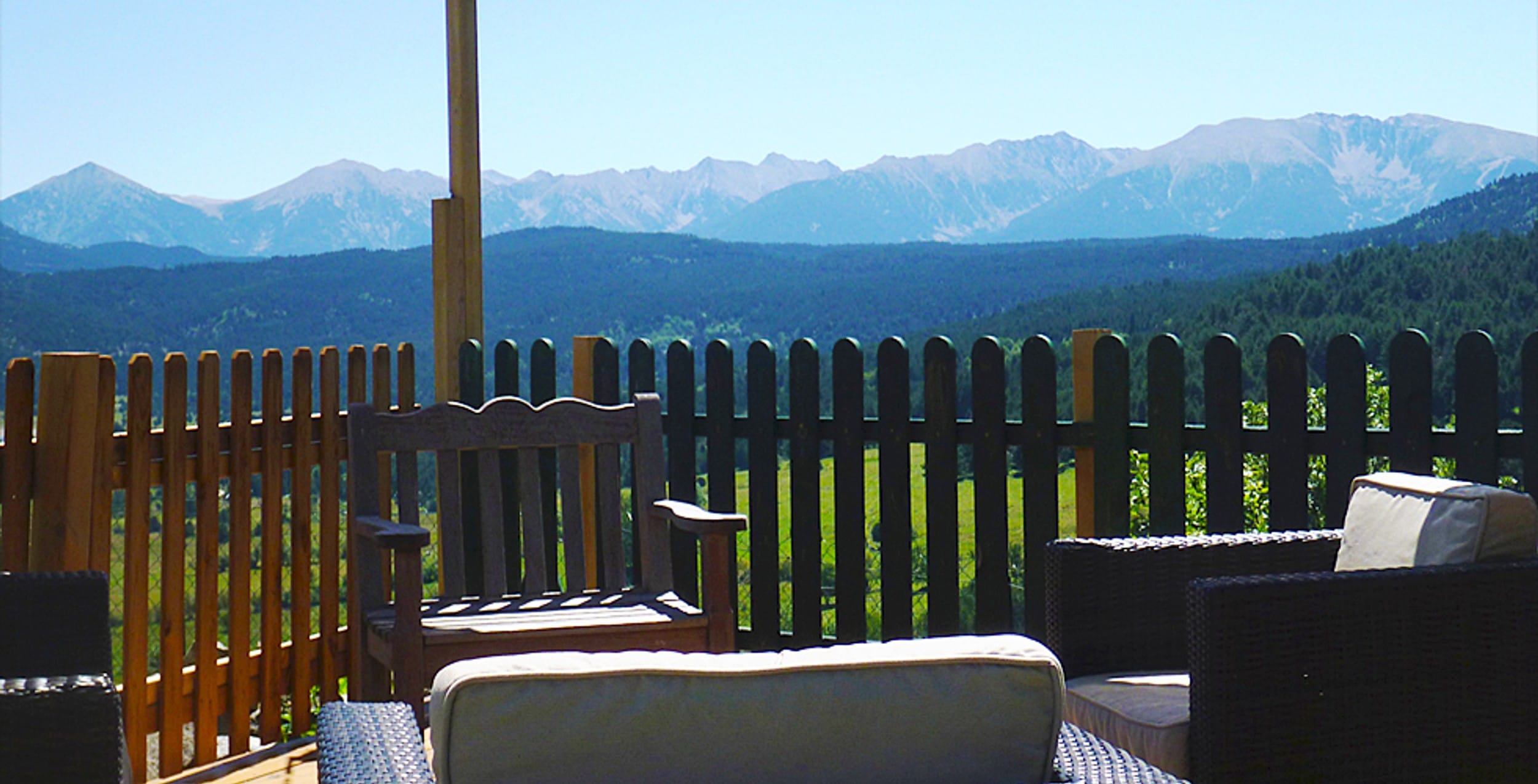
Before setting out: check the current Bouillouses access and shuttle arrangements, the mountain forecast and any local restrictions. Start early in hot weather, carry plenty of water and do not attempt the route in poor visibility or when thunderstorms are forecast.