
Weather Check
If you’re the sort of person who checks three weather apps before deciding whether to hang out the washing, you will be please to hear that since 1 September 2026, Météo-France has been making its weather warning maps more precise, allowing you to see which parts of a department are actually at risk from particular types of bad weather.
That could be particularly useful here in the Pyrénées-Orientales, where conditions can vary considerably between the coast, the plain and the mountains. For example, a windy day on the coast isn’t necessarily the same weather event as conditions in the Conflent or up in the mountains. Heavy rain in one valley can have very different consequences from a storm elsewhere. Whether you live here or watch from afar, it means you can potentially get a much better idea of whether a warning actually affects your area rather than simply seeing a colour covering the entire department.
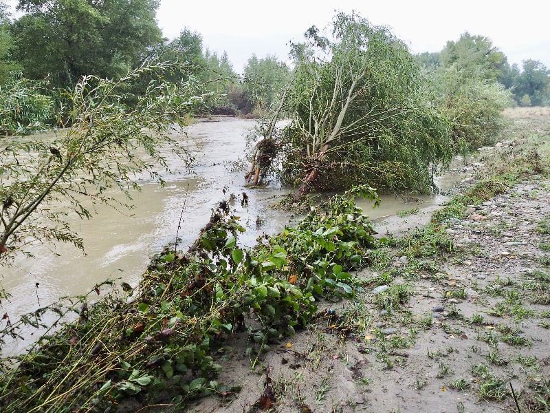
It’s also useful when making decisions about driving, walking, outdoor activities, mountain trips or simply whether that washing is going to survive the afternoon.
And if you’re planning a journey across the department, it’s worth remembering that the weather at your destination may be quite different from what you’re experiencing at home.
Four types of weather can be mapped in more detail
The new detailed maps cover:
Wind – strong winds and storms.
Rain-flooding – heavy rainfall that could cause surface water, runoff or flooding.
Thunderstorms – potentially involving torrential rain, hail and strong gusts.
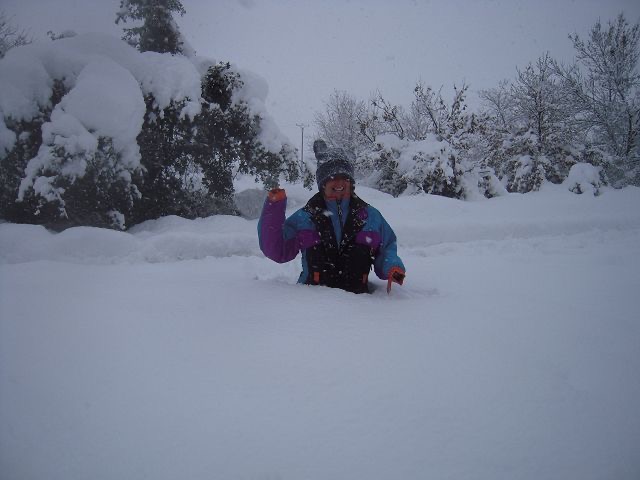
Snow and ice – snowfall or icy conditions that could make roads and other travel difficult.
To see the detail, you need to select the relevant weather phenomenon on the Météo-France vigilance website. The detailed maps aren’t automatically displayed on the main national map.
You can also select your department from the drop-down menu or click on it directly on the map.
How often are the maps updated?
Météo-France updates the vigilance maps at least twice a day, at 6am and 4pm. They can also be updated more frequently when weather conditions require it. You can also generate a PDF of the vigilance information from the Météo-France website, which could be handy if you need to keep a record or share the information.
More detail is coming
For now, the new system covers metropolitan France and Corsica. It is only used when forecasters have enough confidence to identify areas at risk with sufficient precision.
The system is due to become more detailed again, with Météo-France planning to introduce similar geographical information for heatwaves and extreme cold from summer 2027. This will take account of the particular characteristics of mountain and coastal areas.