Level: MEDIUM TO DIFFICULT
Time: 5 – 6 hours (14km)
This walk takes you up into the Albères towards Las Illas and is often steep and uneven. It is mainly off-road.
Recommended for: Experienced walkers or people with stamina! Some of the uphill climbs are quite long and taxing.
Where to park: Prats de la Farga on the Céret side of Maureillas, has plenty of free parking space and is easy to find.
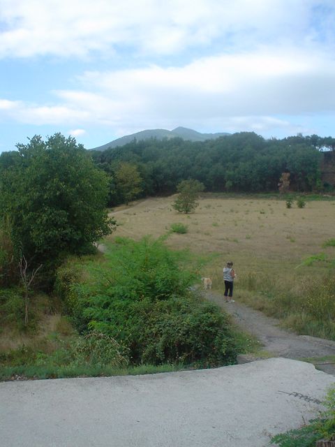
- From the car park in Prats de la Farga, walk back out towards the roundabout, turn left and follow the road a short distance until you see a riding school on your left. Take the path which crosses the field, and head towards the woods.
- At the end of the path, take the narrow track up through the trees, keeping left, until you come out on a housing estate.
- Turn left on the road and you will see a small piece of grass on your left (Do NOT take the road signposted ‘chambre d’hotes’ leading down to the left.) Look for the narrow passageway at the back of the grass which will lead you behind the houses.
- Take this path behind the houses with the woods on your left and carry straight on until the road sweeps round to the left. Here, take the track going off to your right.
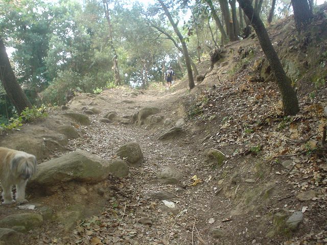
- Follow this track round to the right until you arrive at a white building on your right. Just opposite this, on your left, you will see a narrow track taking you into the woods with yellow paint strokes to signal the start of a recommended walk.
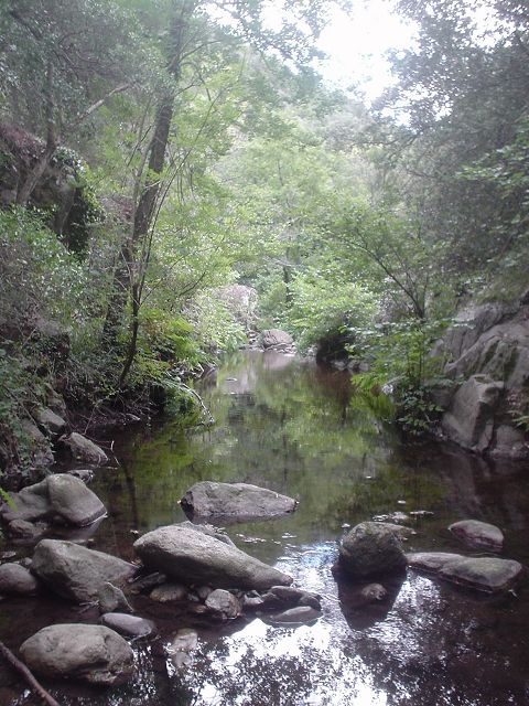
- Follow this path up through the woods, over a small stream and take the right fork bringing you to a metal fence on your left.
- Keeping the fence on your left, follow the track until the end of the fence, then turn left with the fence. lovely, open view on your right
- A little further on, on the right you will see rocks and a path (with yellow markings) that takes you up into the mountain) Take this rocky path up into the mountain.
- Keep following the track until it forks round to the right or straight on. Continue straight on with the mountain on your right.
Two options here.
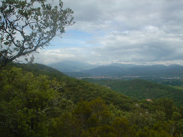
EITHER take the right hand fork, up a long, steep path. At the top, turn left and over the rocks and you will arrive at the ruin of the Torre Bel Uii, an ancient tour and beacon with benches and a panoramic view over the whole of the PO. It will add about 45 mins on to the walk there and back but is worth it for the views
OR
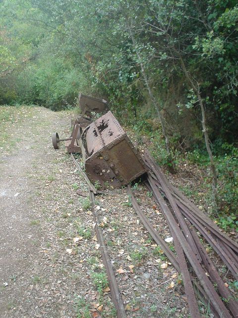
continue along original track for about 2km. You will pass abandoned equipment from an old mine – rails and mine cars – and eventually arrive at a ‘crossroads’ of paths.
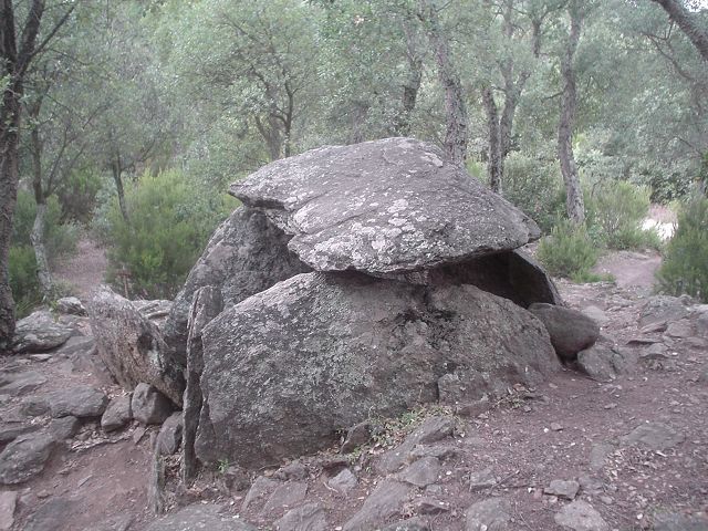
- Turn sharp left and follow path round to the left (You will pass a sign for the Dolmen de la Siureda – another detour if you wish which would add another 45 mins to the walk there and back)
- Take the left fork (blue paint stroke) and follow the path round to the right, passing a shelter on your right (with BBQ facilities if you happen to have a steak in your rucksack!)
- Keep right and follow the track downwards until it joins a wider path. Continue downhill
- Cross the bridge over the river and follow the road round to the left and up the hill.
- When you arrive at the road, cross over and take the path which continues directly opposite. – When the path sweeps round to the right, take the track on the left marked Les Fontanilles.
- Follow this path which sweeps round to the left and brings you out at the road.
- At the road, turn right and follow the road back down into Maureillas, turning left at the crossroads to bring you back to the car park at El Prats.
No restaurants or cafés on this walk, so take plenty of water and a picnic.