
Megaliths of the Pyrenees
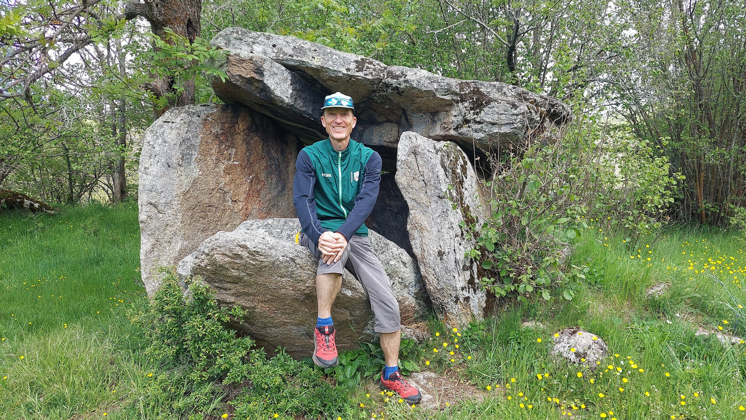
Menhirs, dolmens, barrows, cromlechs – megalithic monuments can be found in most parts of the Pyrenees, along with a few statue-menhirs. At the eastern end of the range, two areas are particularly rich in megaliths: the village of Eyne in the French Cerdagne and – just over the border in Catalonia – Cap de Creus Natural Park. But first, what are they, and what was their purpose?
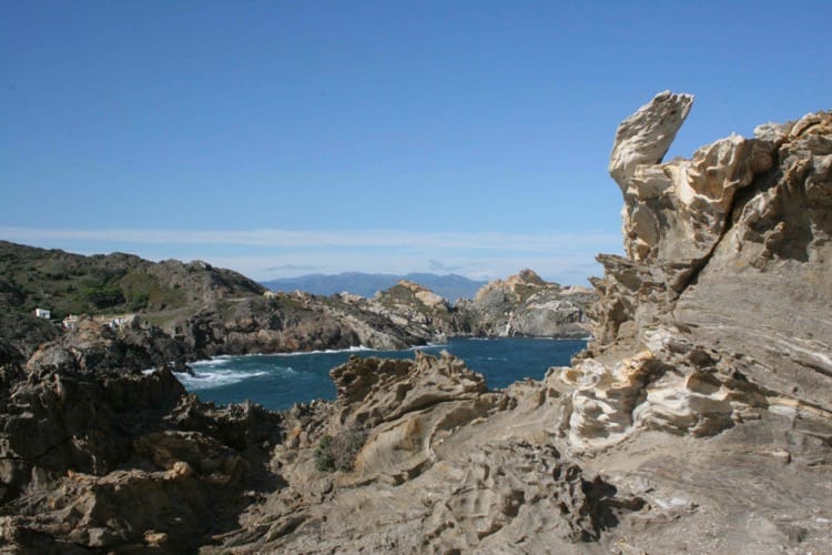
Cap de Creus Natural Park
Types of megaliths and their uses
The word ‘megalith’ first appeared in print in 1839 when an English clergyman used the term to describe the ancient stone monuments of England and Brittany. His inspiration came from two words in Ancient Greek which mean ‘big’ and ‘stone’.
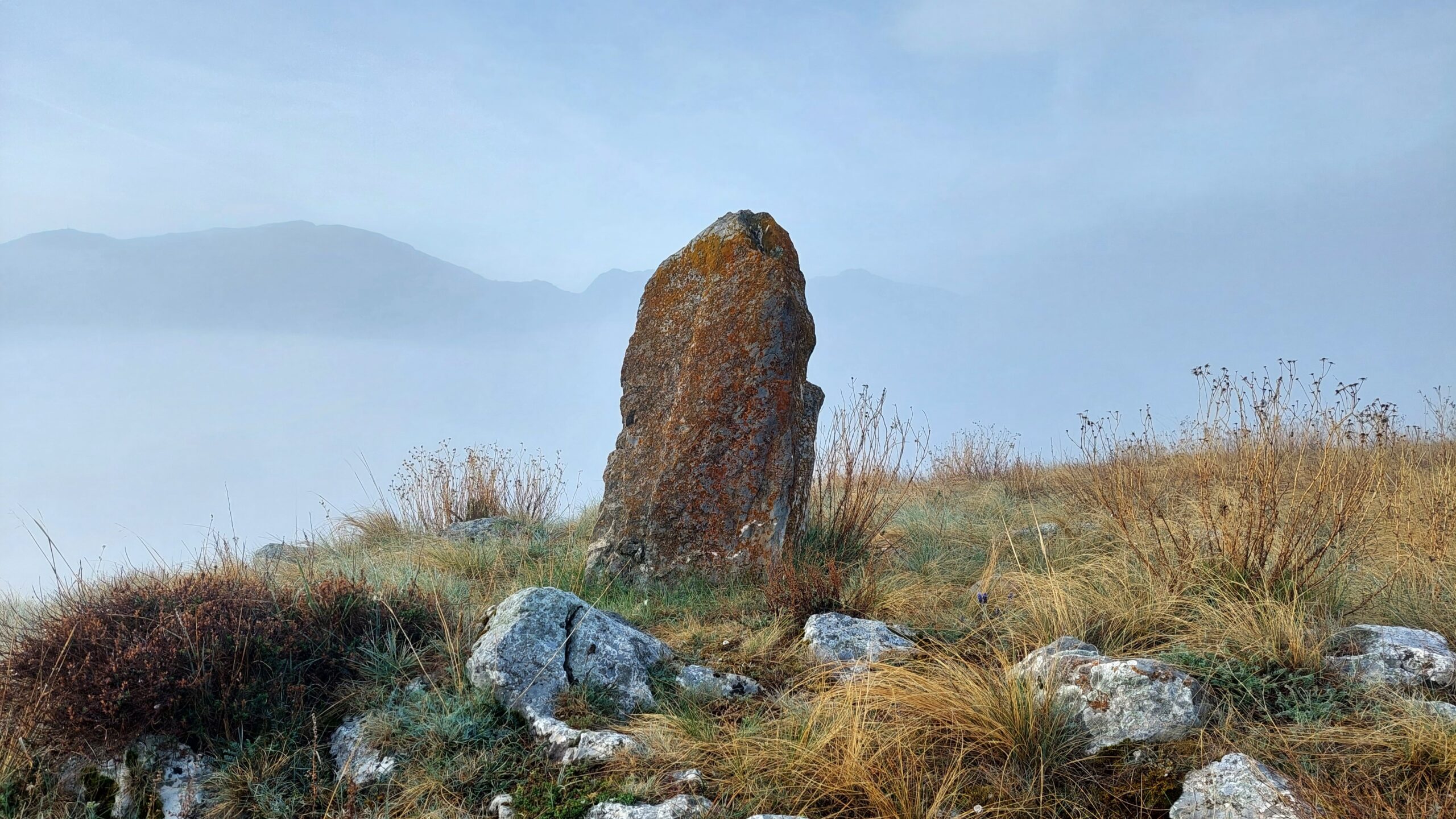
The most basic form is a standing stone called a menhir, and its original purpose or purposes are unclear, partly because most of them are impossible to date accurately and we can therefore only guess at their original environmental setting. For example, a particular menhir may have been quarried and put in place before Neolithic men and women began clearing the forest for agriculture, while they were clearing the forest or sometime afterwards. And that means its original purpose may have been, among other possibilities: a statement of territorial occupation by early farmers, the focus of a secret or public place used for ritual purposes, a prominent memorial to a person or an event, or a waymark beside a Neolithic thoroughfare.
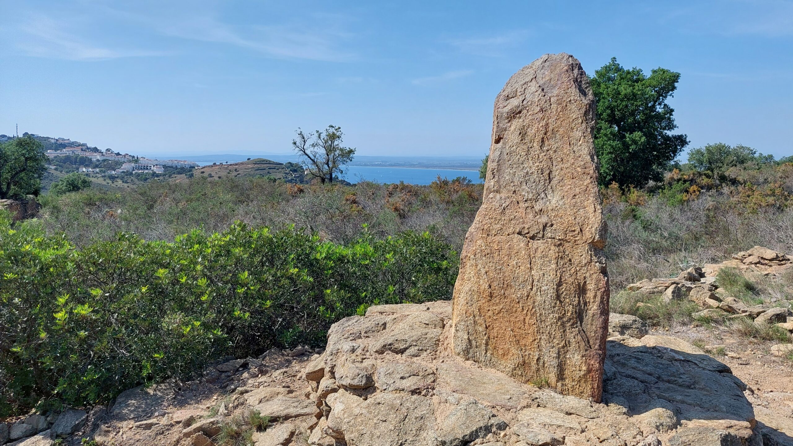
(Credit: Colin & Donna Taylor)
Dolmens consist of two or more vertical stones supporting a roughly horizontal capstone, and most of them are thought to be the central part of a communal tomb. A tumulus, also known as a barrow, is a mound of earth or scree raised over one or more tomb chambers made of timber or dolmens. A cromlech is a circle of standing stones, or menhirs, which may have surrounded a dolmen, acted as a calendar, or served some other ritual purpose. Avebury in England is the largest known example, and Stonehenge is the most sophisticated architecturally.
Big stones dressed to impress?
The typical Pyrenean dolmen has a capstone weighing several tonnes. Therefore, construction demanded the collective effort of a gang of workers, and this has led some scholars to speculate that the dolmen was a prestigious tomb reserved for the most important members of a community. Perhaps its tumulus, visible from afar, served a secondary purpose as a territorial marker or a statement of authority by the community elders.
Some dolmens are so eye-catching, it is reasonable to wonder if they were deliberately designed for display. An outstanding example stands on high ground near the village of Mendive towards the western end of the Pyrenees. Its builders started work by creating an artificial mound 2 metres high and 40 metres in diameter. Then they erected the Dolmen de Gasteynia on top. The relative shape of its stones suggest they were carefully selected to give the monument a particularly striking silhouette.
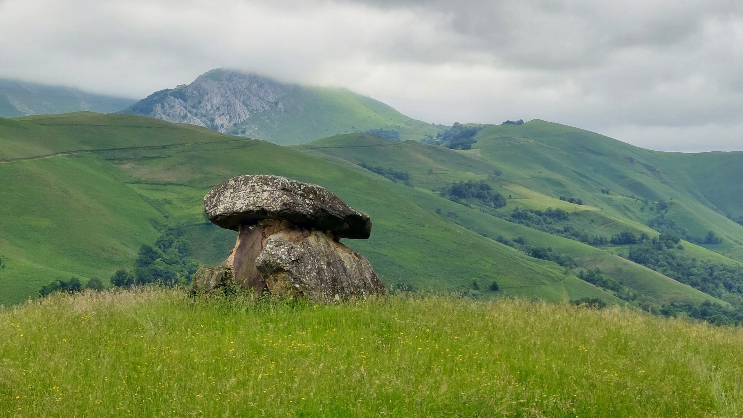
(Credit: Colin & Donna Taylor)
Dolmens like Gasteynia have prompted some archaeologists to argue that, in some cases, the primary purpose of a dolmen was to create a wondrous spectacle. Features such as artificial mounds to boost their height, or oversized capstones mounted on alarmingly slender support stones, represent pointless effort if they were to be hidden beneath a tumulus, but exaggerate the drama if they were not. Perhaps dolmens like these provided an imposing backdrop for burials or other rituals, similar to a modern place of worship. This theory does not preclude the possibility that dolmens of this type were used as tombs as well, even if they were not buried underground.
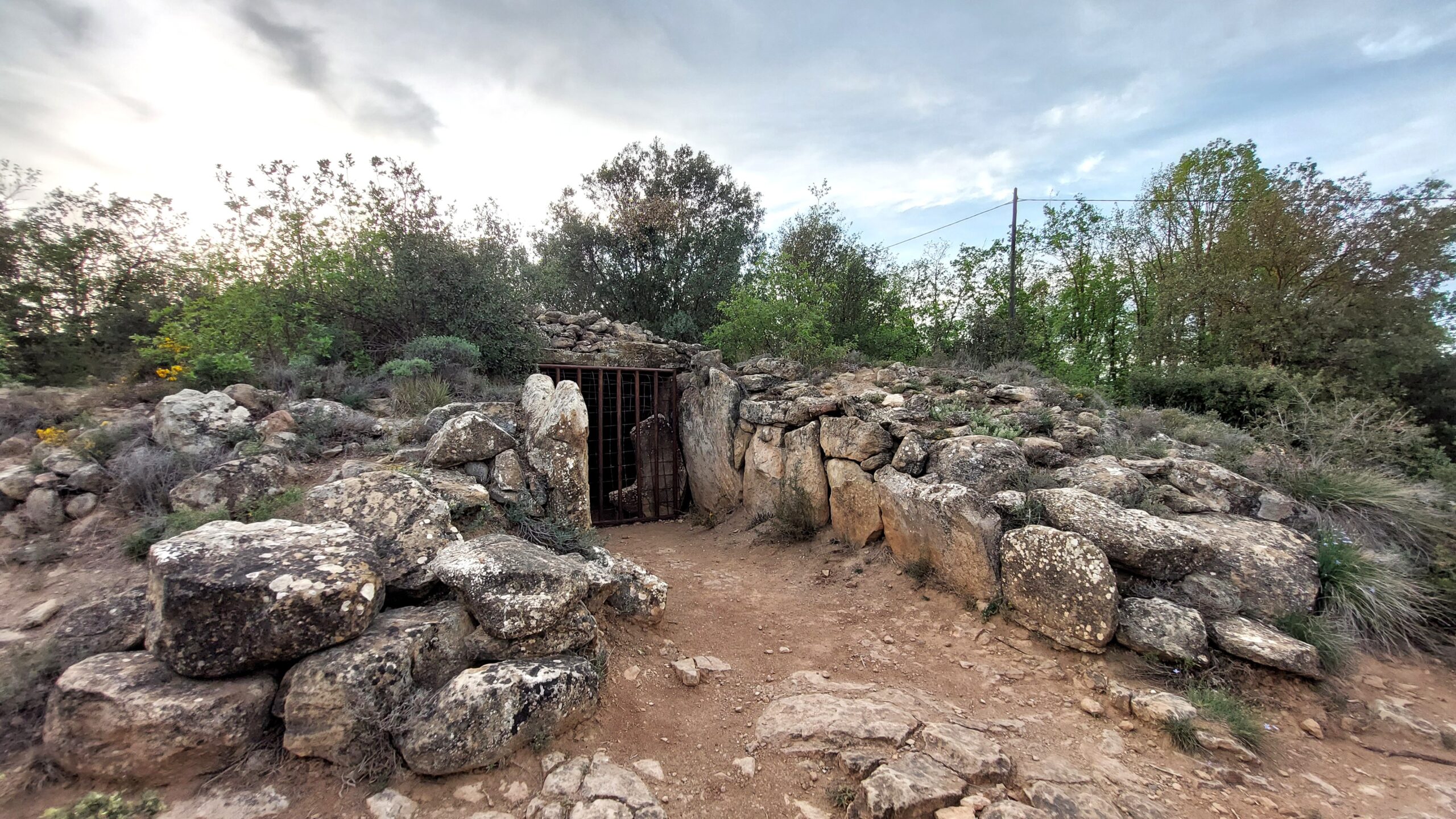
(Credit: Colin & Donna Taylor)
To add to the mystery, archaeological evidence shows that some of the oldest known dolmens were covered with a tumulus at a later date. Conversely, some that were originally covered with a tumulus have clearly been uncovered by centuries of ploughing or erosion, and attacks by stealers of stone, grave robbers and amateur archaeologists.
Moving further into the realm of uncertainty, some people claim megalithic monuments were positioned in relation to underground watercourses or the earth’s magnetic field. As a result, menhirs and dolmens are able to concentrate telluric forces and act as places of healing or revitalisation.
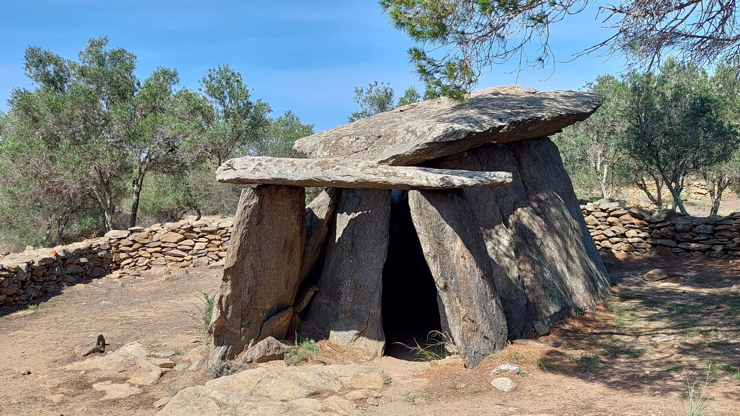
(Credit: Colin & Donna Taylor)
Where and when did megaliths begin?
Until the advent of modern dating techniques, it was widely assumed that megalithic tombs were introduced to Western Europe by the first Neolithic farmers who arrived from the Middle East, but it now seems the opposite is true. Brittany is home to the oldest known megalithic monuments in Europe, 7,000 years old. Within a few centuries, the practice spread from there to the British Isles, the Pyrenees and Scandinavia, and subsequently moved out as far as the Iberian Peninsula, Italy and islands in the Mediterranean including Malta and Sardinia.
Where to find them
Clusters of man-made megalithic monuments are usually located in those parts of the Pyrenees that were capable of supporting a sizeable population or were close to trans-Pyrenean communications routes. Some of them are marked on good French and Spanish maps.
One of the easiest introductions to megaliths starts in the French village of Eyne in the Cerdagne. Here, the tourist office has waymarked a pleasant 5-kilometre balade néolithique, or Stone Age stroll, complete with detailed information boards about each type of big stone along the way.
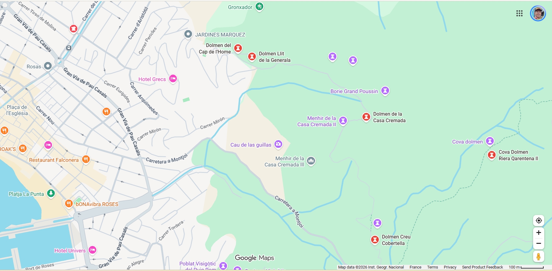
Across the border, the megalithic park on the edge of Roses contains several outstanding examples of Stone Age monuments, again accompanied by information boards. They start to appear as soon as the houses run out above the eastern edge of town (see map).
Should you wish to go searching for megaliths elsewhere, take a look at the Megalithic Portal. This includes a worldwide map started in 2001 by British enthusiast Andy Burnham (no, not that Andy Burnham). It includes the position of more than 2,000 megalithic sites in the Pyrenees, usually complemented by GPS coordinates and photographs.
ABOUT THE AUTHOR

Colin has been living in the south of France for 25 years, and through his books he shares his love for the history, landscapes and gastronomy of the south of France, the Pyrenees and northern Spain. You might like to read more about megaliths in his latest book, ‘The Pyrenees: A Human History’, published by Yale University Press (ISBN: 9780300287196).