
La Serre de Vingrau: A Spectacular Walk Above the Village
with Tim and Chris Parker
A 3h 30m, circular walk of 9 km with 450 metres of ascent. The route is generally well marked, but the section along the crest requires attention: cairns are important and some sections are rocky and awkward underfoot. A map or GPS track is recommended.
– Fairly well signed route with yellow way marks and also cairns along summit crest.
– Impressive cliffs in view on the ascent.
– Views across Roussillon from the summit.
– Walking boots essential.
– Not advisable in high winds or poor visibility.
– The spectacular cliffs are also a well-known climbing area.
– Take plenty of water, particularly in warm weather; there is little shade on parts of the route.
Map: IGN 1:25,000, 2547OT Durban-Corbières – Leucate – Plages du Roussillon (2025 edition).
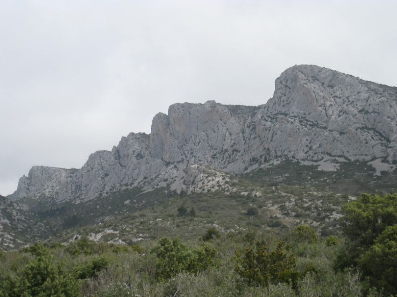
The walk lies within the Parc naturel régional Corbières-Fenouillèdes, a landscape of limestone cliffs, garrigue, vineyards and wooded valleys.
Start
Approach Vingrau on D12 from Rivesaltes or from Espira de l’Agly behind Perpignan airport. Parking available by the Stade/Mairie in Vingrau or close to the cemetery.
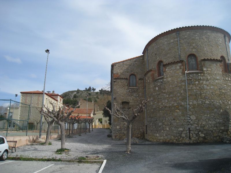
The Vingrau town hall was destroyed by a fire in 1935, along with all the municipal archives. Charles Béringuier, 62-year-old road worker was in the cellar fetching anti-hail rockets when an unexplained explosion set fire to the municipal building. His body was found later amongst the rubble. He left behind a widow and five children.
The walk
From Stade, leave car park, walk up Rue Millère past school. At main street turn right then second left into Rue de la Poste.
Look out for yellow way marks – some are on the ground!
Right at crossroads, left into Place Jean Jaures, left again then right into Rue Bizet then rue Rameau.
Up cobbled steps to old church, right alongside church then left behind it.
You are now in open land! Just follow the yellow way marks up the stony path among cypress and pine trees.
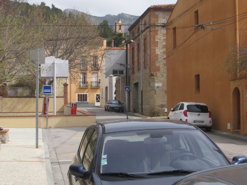
Vingrau takes its name from the Latin expression “viginti gradi”, the twenty grades or steps, describing the path leading to the village which in Roman times consisted of a paved road on which these steps were built.
The path continues to climb through scrub and gently up the plateau du Planal de l’Achartell. Wild narcissus abound if you walk in springtime, as do grape hyacinths and other plants. Wild rosemary and thyme are everywhere, but it is lovely at any time of the year.
As you go higher look out for interesting shapes in the rocks from centuries of rain and weathering.
You never know what ancient artifact you might find around Vingrau, occupied by man (and woman) since prehistoric times. Snout scrapers, chisels, knives, and stone arrowheads are amongst tools discovered by archeologists over the years.
After 40 minutes cross the dry ravin des Couillets and turn left to continue on the opposite side of the valley. Look out for rock climbers as you continue to climb up the valley.
Twenty minutes later, you reach the Refuge Yves Bernard, tucked into a pine grove. The refuge is private, so don’t assume that it is available for overnight use, but it makes a useful landmark on the route.
Natura 2000 is a network of protected areas covering Europe’s most valuable and threatened species and habitats, its aim to protect habitats and species of wild fauna and flora.
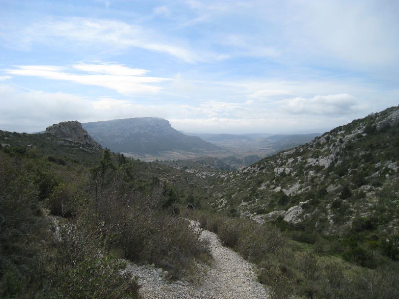
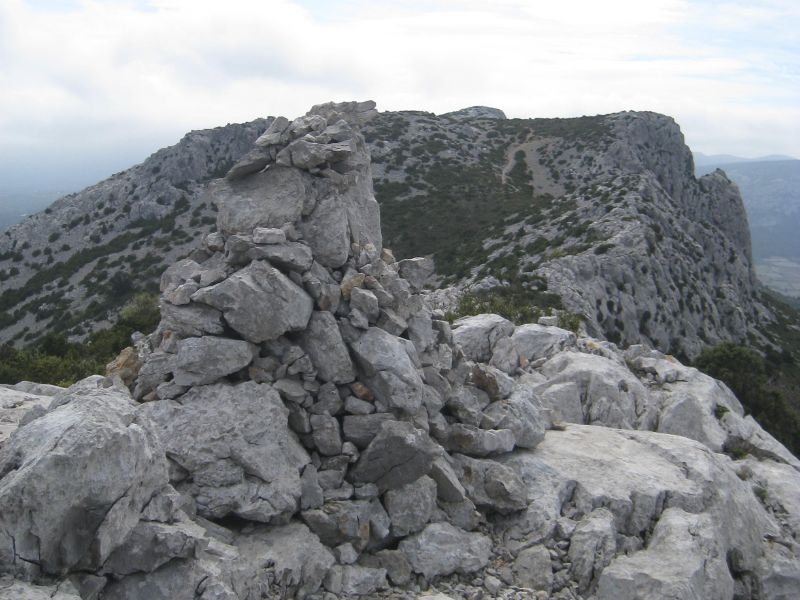
Yellow way marks and cairns help you negotiate the summit ridge. There are a few places where you must pay close attention to the route.
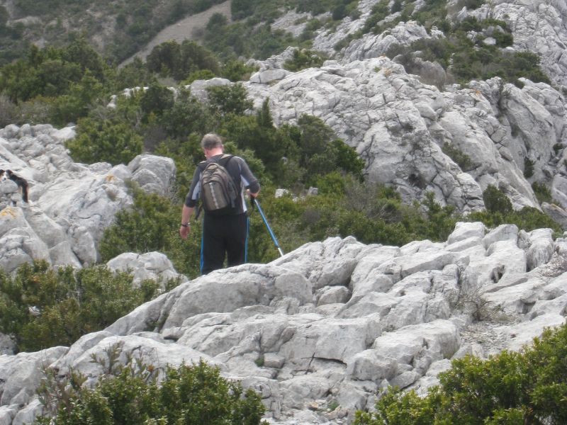
enerally, the way across the first part of the ridge is very straightforward but there are a couple of tricky bits where going down on your bottom may be required – it all adds to the excitement!
 [/vc_column_text][/vc_column]
Surprisingly for such a small village, Vingrau has 3 churches!
Notre-Dame de l’assomption perches at the top of the village, with enough steps up to get your daily cardio exercise! It’s mostly empty. Notre-Dame de Fontfroide in the centre has some interesting art, and an ancient altarpiece. Finally, the chapel at the village entrance is dedicated to Notre Dame du Bon Conseil with an interesting Virgin and Child.
Very soon after this, beware of a cairn on your right at the top of one of the cliffs – it does not mark the route but a place where you take a sharp left away from the cliffs, so look out for the continuing cairns.
The path continues along the crest, gradually descending. It seems a long way, but bear in mind that the cliffs are alongside the road into Vingrau as well as continuing into the valley up which we walked. From the fallen mast it is approx. 45 minutes to reach the D 12 on a sharp bend.
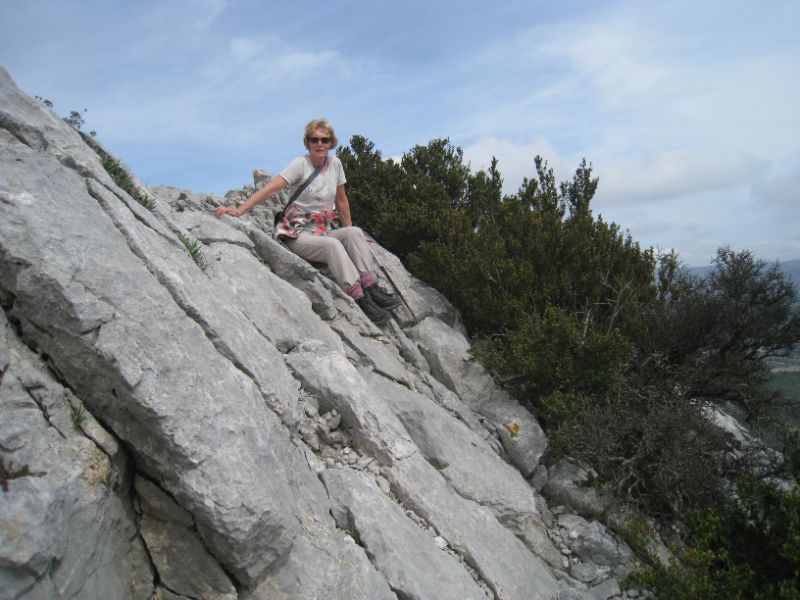
Cross road to a path descending below more cliffs, used for training rock climbers, until it reaches the vine covered valley floor.
On reaching the main road, cross into Vingrau, passing chapel Notre Dame de Bon Coeur, the cemetery and then into the village. Find a way through the narrow streets back to the parking.
From Vingrau, turn right at signs for the Château d’Opoul and Perillos, a winding and narrow road so be kind to the driver.The chateau, also known as Salveterra, (the land that saves) is an ancient and ruined stronghold on a limestone plateau surrounded by cliffs – difficult to scale in armour!
Sections of the castle walls remain and there is also access to a vaulted room and part of the castle church. Two vast vaulted cisterns, dug into the rock remind us that water was also a rare commodity in days gone by, confirmed by the local geology studies.
A wide moat separated the castle from the fortified town, part built into the castle.
Every year, volunteers join in the restoration of walls and passages. A visit is free, but avoid windy days. Just follow the painted arrows that lead to the plateau via the (relatively) gently ascending track.