
Sea, Stone and Signal Fires: Walking the Military Installations of Madeloc
One of the most spectacular and demanding hikes on the Côte Vermeille — combining vineyards, military history, and sweeping sea views, this full ridge circuit from Port-Vendres climbs through vineyards to the iconic Tour Madeloc, crosses the wild Taillefer ridge, then descends past Fort Saint-Elme back to the coast.

At 20–22 km with around 1,000 m of ascent, it is a serious outing best suited to experienced walkers, with exposed sections, heat, wind and rough terrain all adding to the challenge. Navigation can be confusing at several junctions, so a GPX track is strongly recommended: we would recommend Wikiloc for downloadable local routes, AllTrails for ease of use, or Komoot for turn-by-turn guidance. As a paper backup, carry the IGN TOP25 2549OT Banyuls-sur-Mer Côte Vermeille – Col du Perthus map, which covers Port-Vendres, Collioure, Madeloc and the surrounding ridge network.
📍 Overview
- Start/Finish: Port-Vendres
- Distance: 20–22 km
- Time: 6–8 hours
- Ascent: ~900–1000 m
- Difficulty: Hard
- Type: Loop
👉 This is the full version of the Madeloc circuit — long, exposed, and best suited to experienced walkers.
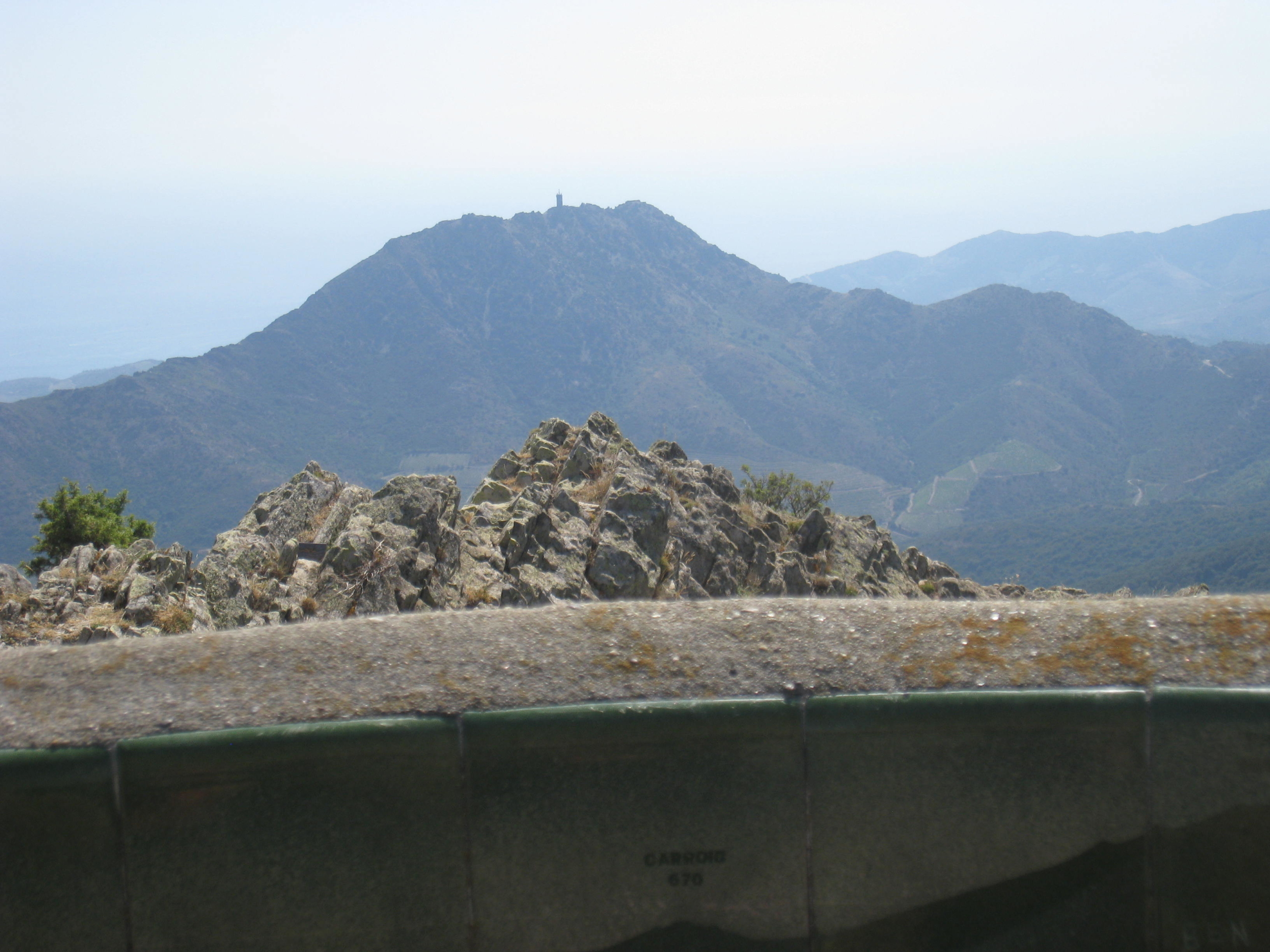
🧭 Route summary
This route climbs from the harbour through vineyards to the ridge, follows a dramatic high-level traverse past military ruins, then descends via forts back to the coast.
Key highlights
- Tour Madeloc – 360° views over the coast and into Spain
- Batterie de Taillefer – wild ridge section
- Fort Saint-Elme – iconic star-shaped fortress
- Vineyards above Cosprons
- Panoramas over Collioure and the Mediterranean
🥾 Step-by-step route
Port-Vendres → Cosprons (vineyard climb)
Start in Port-Vendres. From the harbour, head inland and uphill through the town, following small roads towards Cosprons. Keep gaining height, along quiet lanes and vineyard tracks with open sea views behind you
Cosprons → Tour Madeloc (main climb)
From the hamlet, the route steepens. Paths are rocky paths, with some loose sections and increasing exposure to sun and wind
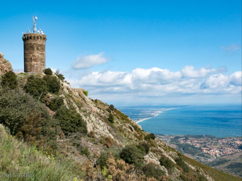
Final push to the tower
👉 At the top: one of the best viewpoints on the entire coast.
Ridge traverse → Batterie de Taillefer
The most dramatic section. with narrow, exposed ridge, big drops and great views. Can be very windy (tramontane)
Descent via forts → Collioure → Port-Vendres
The route descends past historic fortifications. Pass near Fort Saint-Elme, with optional detour into Collioure for a break
Return along coastal or inland paths
🔁 Variants
🟢 Short version (3–4h)
- Start higher (Cosprons or nearby col)
- Out-and-back or small loop to Madeloc
🟡 Medium loop (5–6h)
- Skip part of the ridge traverse
- Return earlier via marked PR trails
🔴 Full circuit (this route)
- Complete ridge + all forts
- Best for experienced hikers
⚠️ Safety & conditions (essential)
Strong winds make the ridge dangerous so to avoid in gusty conditions
Very exposed, little shade so start early in warm months
Fire risk (summer) so access may be restricted. Check local regulations before setting out
No water on route — carry (2–3L minimum)
🧭 Navigation tips
- Mix of PR (yellow) and local paths
- Some junctions are unclear
- A GPX track is strongly recommended
👉 The original route description relies heavily on visual cues — don’t depend on that alone.
⏱️ Timing reality check
- Strong hikers: ~6h
- Average pace: 7–8h
- In heat: allow more
This is longer and harder than it first appears – still one of the best big hikes in the eastern Pyrenees — but:
- It’s not a casual walk
- It’s exposed and demanding
- And it’s far better with modern navigation tools
👉 For those properly prepared, this is one of the finest big days out in the eastern Pyrenees and an unforgettable way to experience the Côte Vermeille in a single walk.