Walk the region: Les tours de Cabrenç
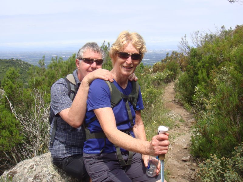
With Tim and Chris Parker
This well-known walk to the 3 Towers (Les tours de Cabrenç) from Serralongue offers a number of alternative routes and even a choice of starting points.
The detailed description offers a challenging ascent, but included is a medium Aller/Retour which can be made even easier by driving to a parking area along the route.
Add half an hour to visit the towers to the times below.
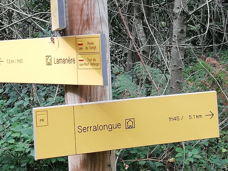
Key Info A/R Easy route from car park at Can Tony. A/R Medium route from Serralongue. Challenging route from Serralongue via side of ravine to Pla de Castell then along ridge. Access: map IGN 1:25000 Massif du Canigou 2349ET |
Getting there
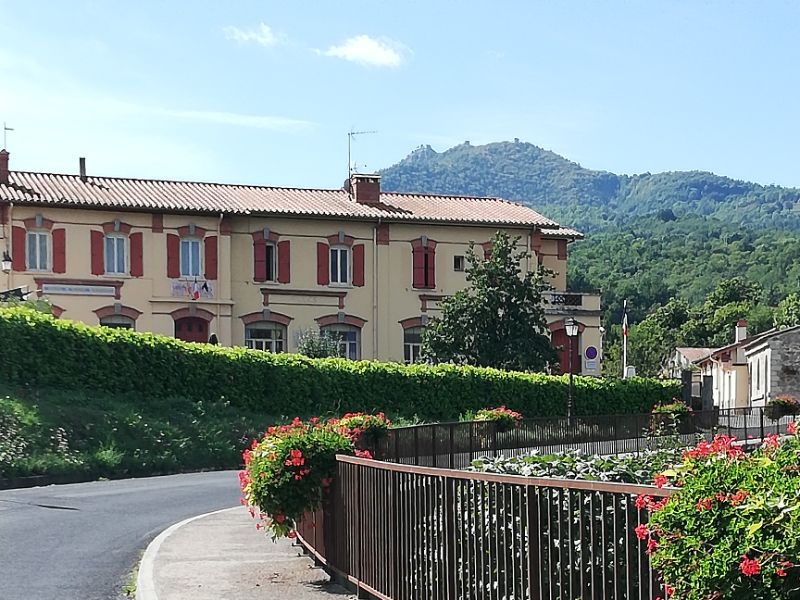
Take the D115 from Perpignan via Amélie les Bains and Arles sur Tech. Continue in the direction of Prats de Mollo. Before Le Tech village, turn left, signed Serralongue, onto D44. Use car park at entrance to the village. On a clear day, the view of the Massif de Canigou is stunning.
The walk
When you can take your eyes away from the wonderful mountain views, make your way up the approach road into Serralongue itself. Behind the village the 3 towers can be seen on the horizon.
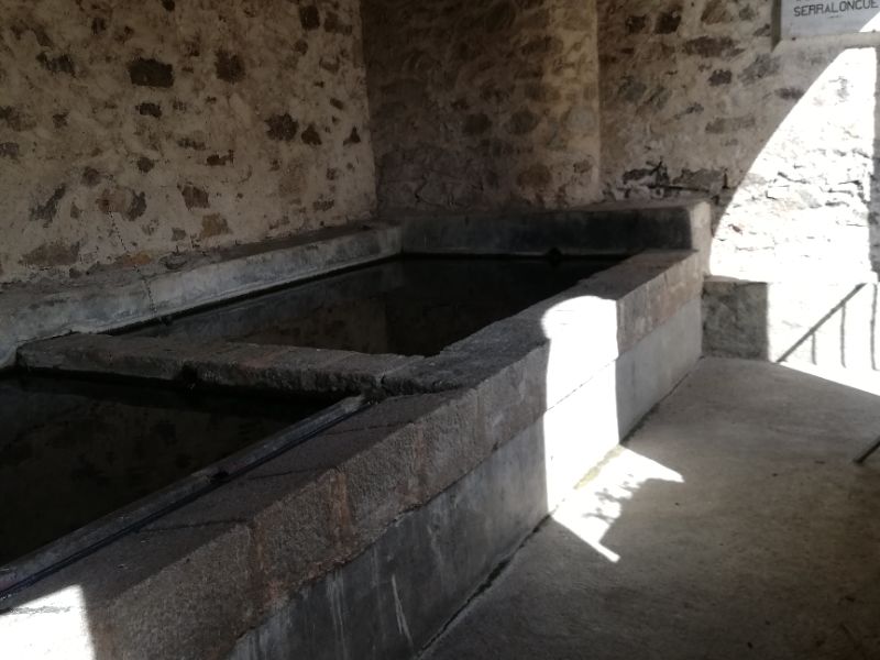
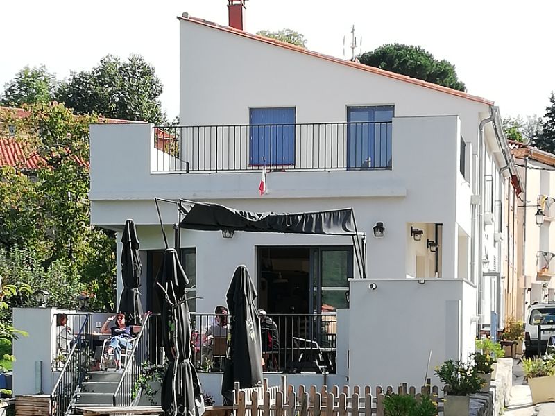
Pass the main street, on left, noting the café Chez Fleur, also known as L’Hostal de Cabrenç. Pass to right of the school and Mairie, taking a peek at the very large old washing area (lavoir) on the corner. Toilet available behind this.
Continue up the road, direction Lamanère for 300m, turning left into Casa Minore. Pass some older properties to enter woodland. Narrow, well-trodden path goes gradually upwards, turning right towards a meadow after approx. 8 mins.
Emerge on broad unmetalled road. Turn left and follow this past a number of properties. Some of road is concreted. After 4 bends, look out for signed path to the towers on right, opposite metal gates.
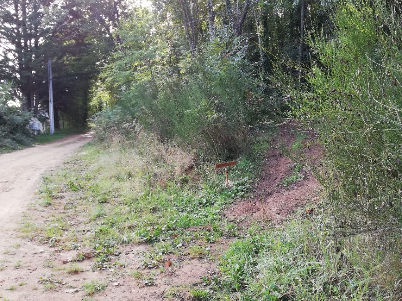
Path cuts a corner, exits to piste and continues from the lower piste of the junction on your right. Exiting this next short section of woodland, turn left onto a broad grassy track.
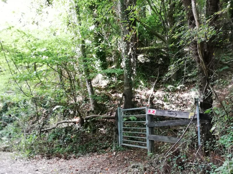
Follow this double track all the way to its end at Can Tony parking area (the start of the easy route). Notice a metal gate on right, the descent route exit onto the common trunk which you have just completed. (1 hour from start to this point).
Gate accessing easier ascent to the towers/ point of exit from descent.
Easy route (starting from Can Tony car park)
Piste to Can Tony starts from the road to Lamanère.
Drive through Serralongue D44 and take the second turning left after Casa Minore.
Follow winding piste to Can Tony, park, then take footpath for Medium route.
Medium route (continuing from Can Tony)
Go through gate and bend right. Zig zag up through chestnut trees, eventually turning left along top of wood with meadow on right.
Follow waymarked path along top of wood. Path eventually turns right and follows edge of meadows up to a beech wood.
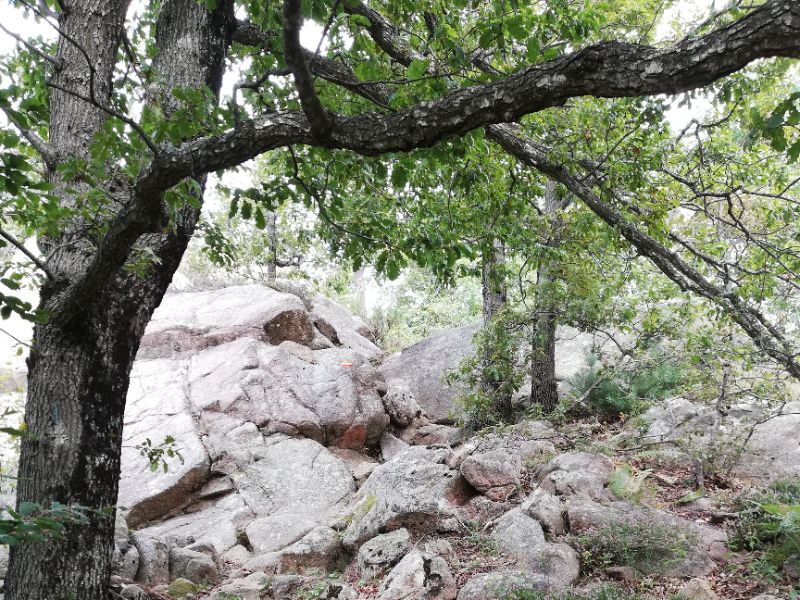
Enter wood and continue upwards, passing a few rocky places.
Exit onto broad track, turn left and follow signs to the towers, arriving at the first tower, le Guet.
Picnic tables available here for a well-earned refreshment stop.
Visiting the other 2 towers will mean some more ascent! Descent is same route.
Challenging route (continuing from Can Tony)
Continue 1.5km along piste from Can Tony parking area. (Ignore “Variante 2” path ascending steeply along the ridge unless you fancy this equally challenging route instead!)
Piste descends slightly – note concreted corner. Signed path to Pla de Castell rises from this bend. Take this path and enter woodland.
Rise steadily up the right hand side of the ravine. There are some yellow marks from time to time. Early on there are white spots on trees/rocks.
Cross a side tributary – path then bends right and moves further to right above the ravine. Keep following the path onwards and upwards, crossing a couple more dry tributaries.
At a bifurcation take the path right signed Pla de Castell. Eventually emerge on grassy path leading to a meadow. (2 hours from start to this point)
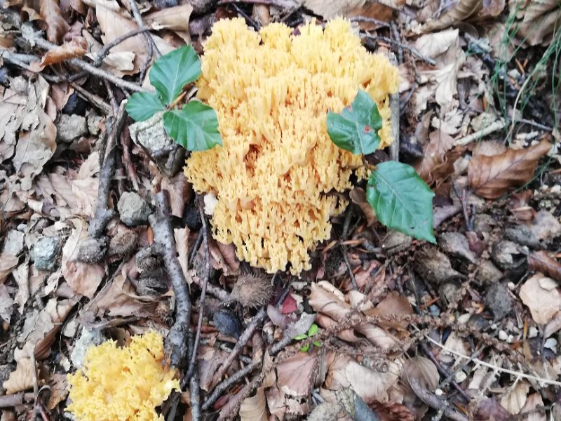
There are many mushrooms in the woods and a range of interesting fungi.
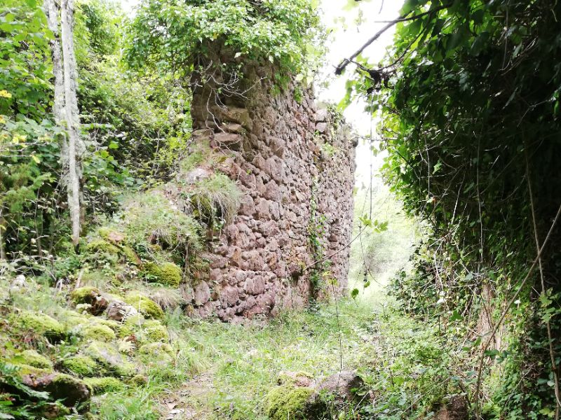
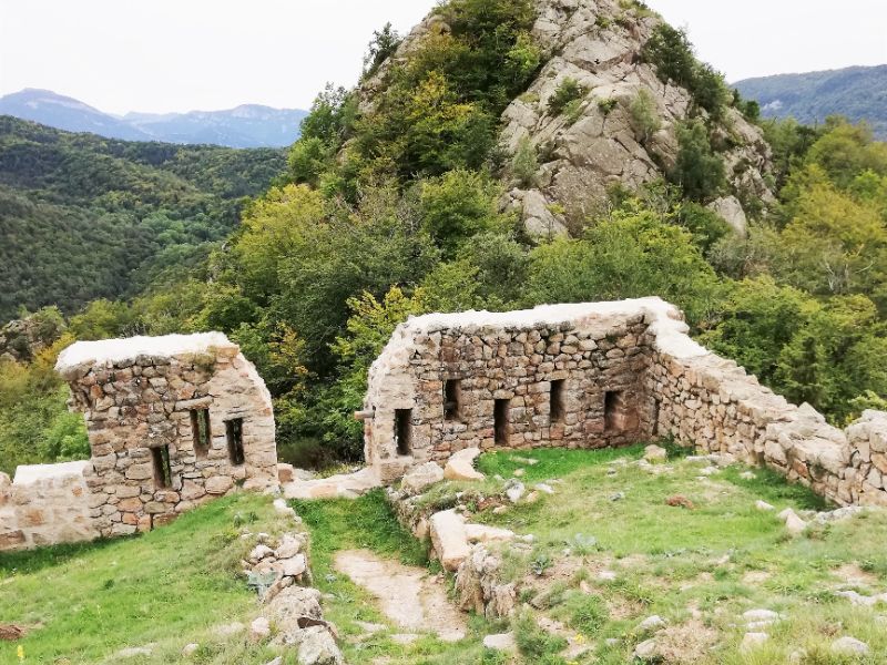
Just before meadow, meet path to the 3 towers – a right turn. The path is unmarked at this point but soon after you turn right, pass ruined building and note the way marking, red and yellow.
If you need a break, the meadow is a good picnic place before returning to the path to the towers.
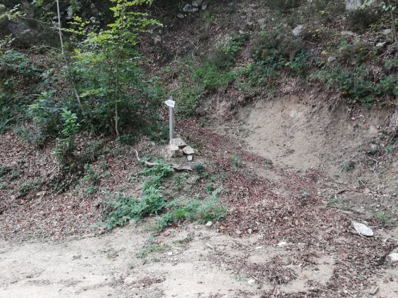
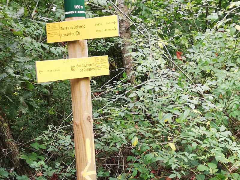
Very quickly after ruins find a way mark post indicating 3 towers, which is also a recognised route to Lamanère.
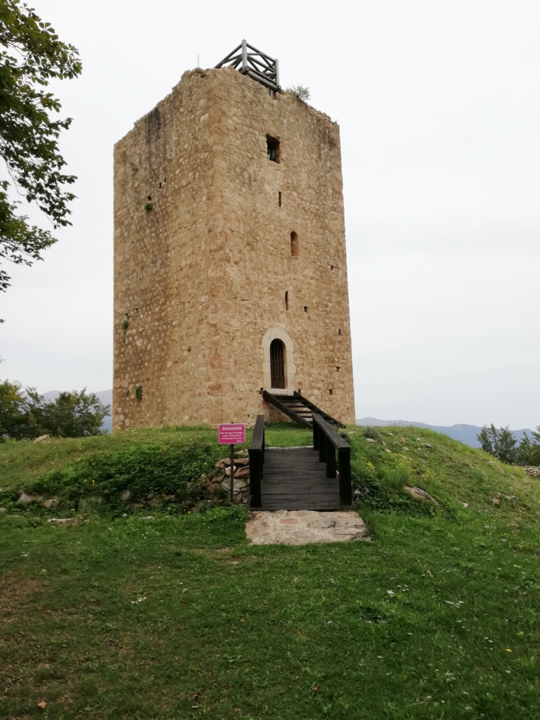
Although the post suggests 35 minutes to Le Chateau it took us more as there are some tricky sections on the ascent and it becomes very steep as you approach the top. It must certainly have presented a formidable challenge to marauding armies of yesteryear!
Emerge at the top – well not quite – you will need to cross the lower ruins of the chateau to scramble over the rocks to the summit! Cables have been attached to the rock to help you.
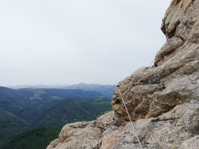
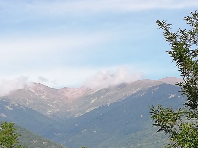
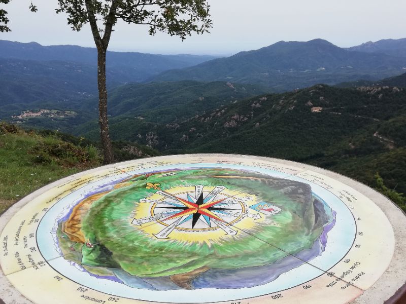
The views from the top are well worth the scramble. In every direction there are mountains. A fine ceramic table of orientation points out Barcelona, 112 kms away, the Bay of Roses easily visible, only 40kms to Collioure if you’re a bird, and Toulouse a mere 160 kms. Look down to the village of Serralongue, over into Spain and out to sea near Argeles/St Cyprien/Canet. The Massif de Canigou is ever present.
Drop back down and go through gap in walls to continue along ridge to le Donjon. Having explored this site drop down the rocky base and head towards le Guet on a stony path.
The grassy area here has picnic tables under the trees and is a great place for a rest before the descent. A waymarker post at the head of the rough, stoney approach road indicates the way down (on a corner, pass the top of signed route Variante 2, via the crest).
After descending this road for 10 minutes look out for the waymarker to Serralongue indicating a right turn into beech wood. The path through the wood is delightful.
Soon reach the other side turning right downhill to follow the edge of a large meadow area with fence on left.
About 45 minutes from the start of descent from le Guet arrive at the metal gate close to Can Tony. The route is well marked.
From here retrace your steps back to Serralongue – the whole route being marked by the small wooden signs “Le Village” (another 45-50 minutes).
Whichever route you have taken you can be well satisfied that you have made this classic walk and been rewarded with the most wonderful views.
Depending on the time of day you may be able to find refreshments at Chez Fleur.
If you have not done so before, you may also like to take a wander round the attractive village and view the church and the Conjurador behind it.
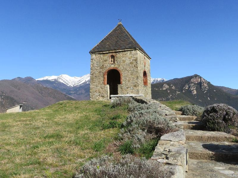
The Conjurador
Built to appease the elements and chase away evil spirits, famine, drought, floods and war, each wall has an opening that faces one of the cardinal points. Centuries ago, when bad weather threatened, the priest would perform the ceremony as inhabitants held hands, prostrated in a circle.