Walk the Region : Around the River Lamanère
By Tim and Chris Parker
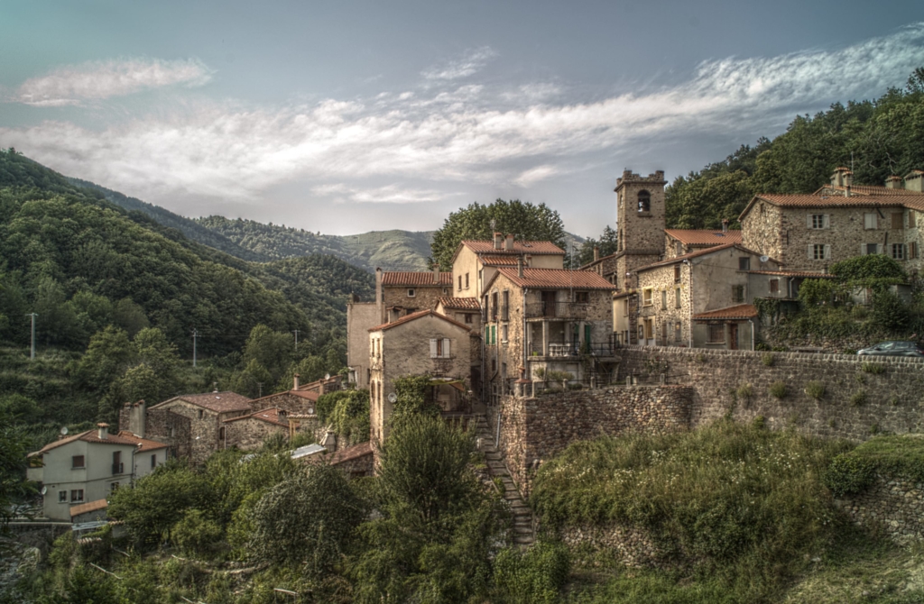
Hot under the collar in the summer heat? Why not head for the cooler air of the Tech Valley and the tiny village of Serralongue nestled in a hollow of mountains, just ten minutes before France’s southernmost point?
Much of this enjoyable 2 ½ – 3 hour walk is in forest, so perfect for hot days.
Key Info 6km with 170 metres of ascent. Terrain is forest path, wider piste and a short section of road. Yellow waymarks on most of route. (Note for cheese fans – the extra time allows for a dégustation and/or purchases at the fromagerie de Mouly Benc) Access: map IGN 1:25000 Massif du Canigou 2349ET |
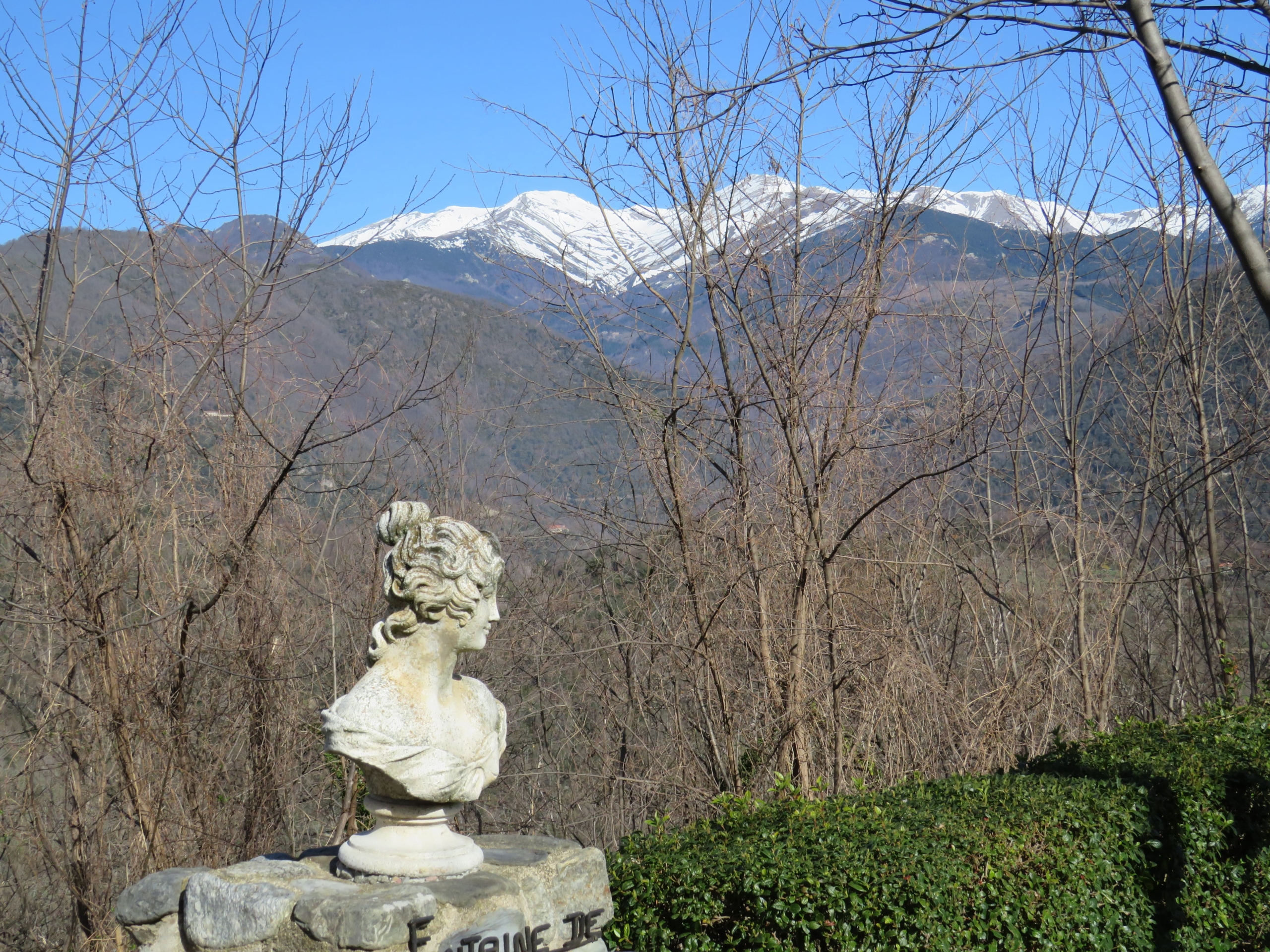
Start
Village of Serralongue. Take the D115 from Perpignan via Amélie les Bains and Arles sur Tech. Continue in the direction of Prats de Mollo. Turn left, signed Serralongue, on D44. Use car park at entrance to the village. On a clear day the view of the Massif de Canigou is stunning.
The walk
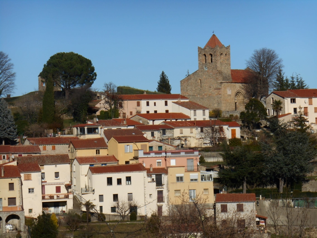
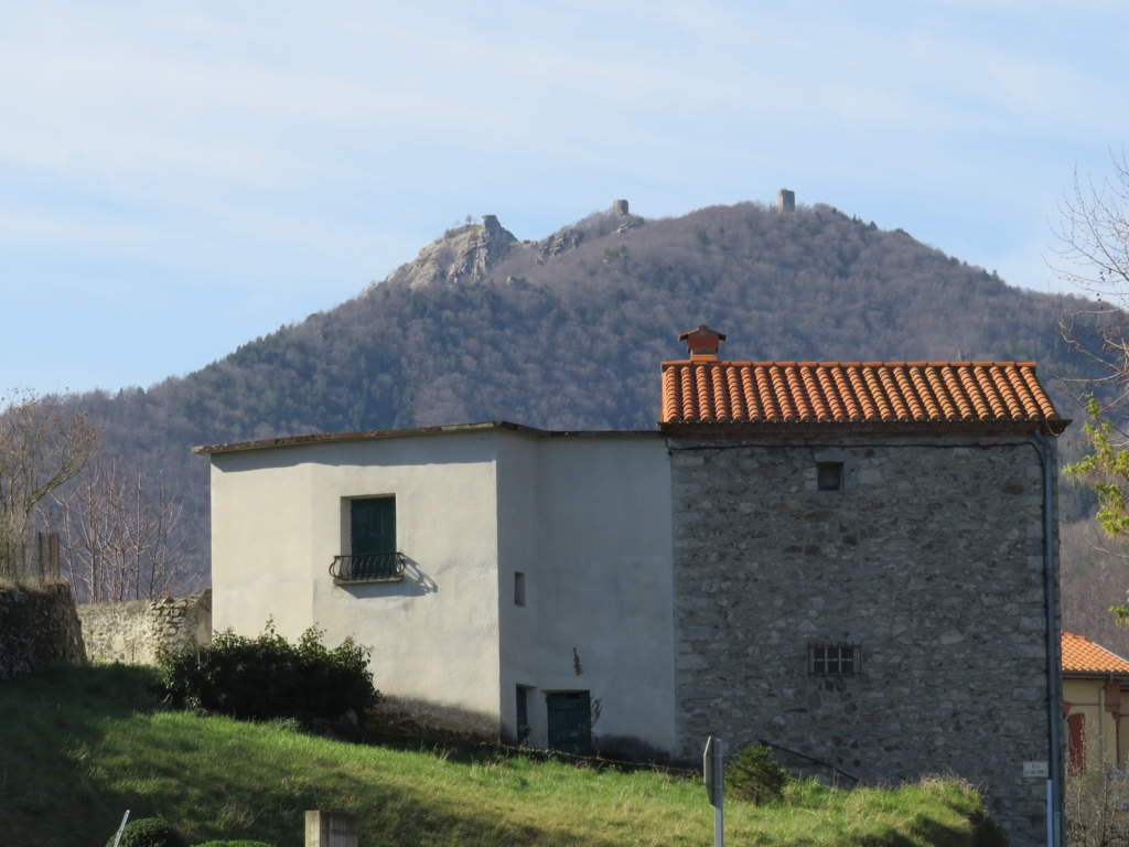
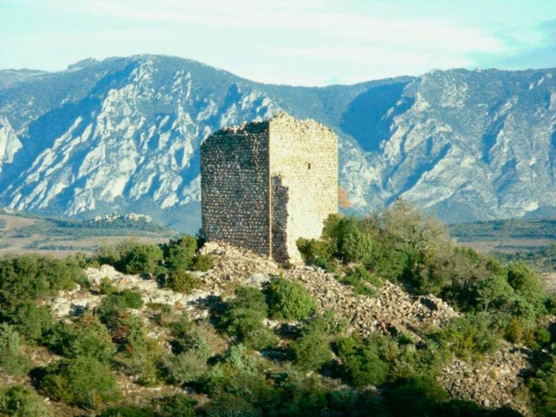
When you can take your eyes away from the wonderful mountain views, make your way up the approach road into Serralongue itself. Behind the village the 3 Towers can be seen on the horizon
Before turning left into the main street by the school and Mairie, take a peek at the old washing area (laverie) on the corner and imagine the ladies meeting up for a wash session and a gossip. There is a toilet available behind the laverie which is not quite so ancient!)

Continue up the main street, noticing the dates on which some of the old stone houses were built. The bar/café/restaurant is a local meeting place and good stop for refreshments either now or later.
Towards end of street bear left up steep narrow street to the 11th century fortified church with Roman origins.
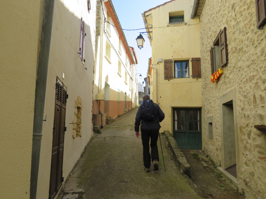
Pass the local ‘musée médiéval’ on right (opening hours info from the Mairie on 04.68.39.61.34). The wonderful ironwork on the solid oak doors is of particular note at the church.

Go back down a few steps and turn left across church car park. Follow road and halfway along the cypress trees pick up a small signed footpath on right (opposite a tap in stone on left). Join wider track, turn left 50 metres then pick up another footpath on right.
Reach the D44 and cross it to pick up delightful forest path down to Galdarès. Ignore path on right at early junction.
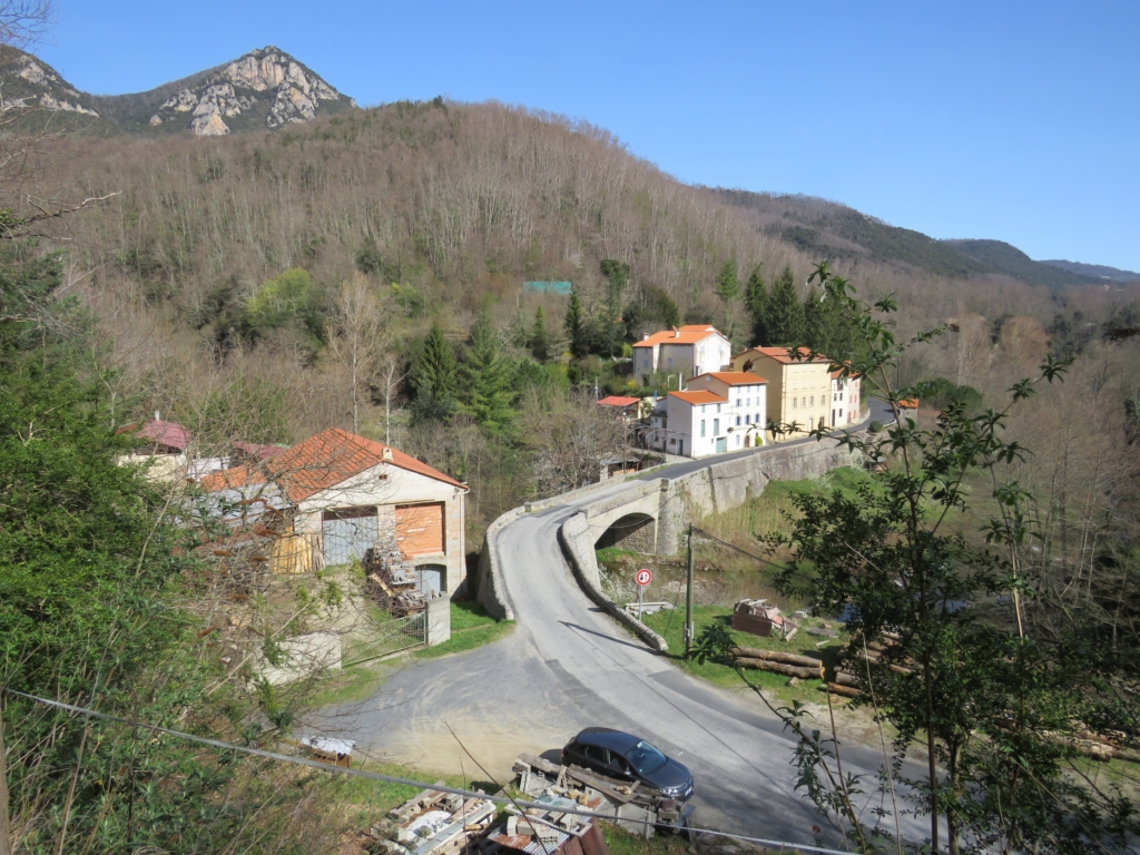
Arrive at Galdarès, turn left to cross the bridge over the Lamanère. (Since doing this walk pre-Covid, we have been told that the bridge is dangerous, so look around for a safe alternative.)
The locals told us later that a short distance upriver on left is a waterfall. Take care walking up the narrow road for about 500 metres. Soon after big bend find turning signed Mouly Benc on left.
Follow this narrow road, which soon becomes an earth piste, for about 1 ½ kms, following signs to Mouly Benc at junctions. River Lamanère is below and gradually Serralongue comes into view on left across the valley. Arrive at the fromagerie.
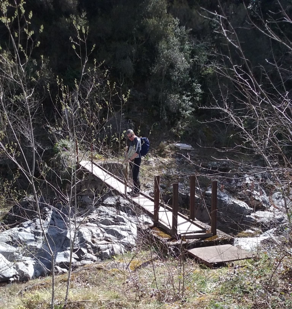
After your visit, cross field below house to the bridge over the Lamanère rebuilt by the proprietors following floods. Fence has removable wires to reach bridge. Wonderful deep pools of clear water look wonderful and tempting for swimming!
EDIT : since publication we have been informed that the wooden bridge is in fact closed. Follow clear signs (yellow markings and wooden arrows) to cross the river.
Follow short steep path to left, arrive on level area and go straight up broad slope ahead. At top is a junction. Turn right onto narrow footpath on and follow it uphill to Serralongue. After series of zigzags, cross broad track to continue upwards. Emerge near some houses to find D44. Turn left to car park – unless, of course you choose to spend more time in this delightful village!
Do you know your P-O Rivers?
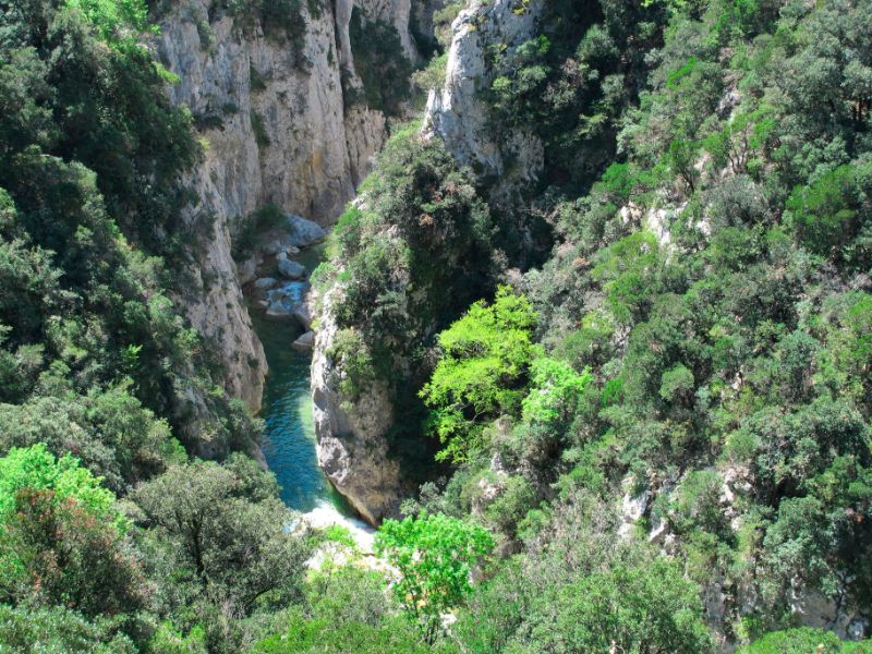
The Agly
: starts in the Corbières and runs through Saint-Paul-de-Fenouillet, Estagel, Rivesaltes and Saint-Laurent-de-la-Salanque before arriving at the Med near Le Barcarès.
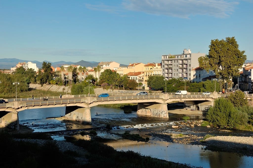
The Têt: flows from Lac de Bouillouse, Pic de Carlit in the High Pyrenees and winds through the centre of Perpignan. Longest river in the P-O
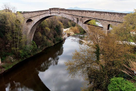
The Tech: starts over the border in Spain, flows through 25 different towns including passing under the Pont du Diable in Céret, and ends in the sea between Saint-Cyprien and Argelès-sur-Mer.




As someone who struggles with walking far I have recently purchased a foldable wheelchair, which can go with me in the car. I am sure I am not the only wheelchair user who enjoys the PO magazine. Would it be possible to include a note where the walks, or even parts of them, are wheelchair accessible? Thank you.
When we tried this it all worked well until we got to fromagerie. We met the owner who told us the path below his property was very steep on the other side of the bridge and advised an alternative route. We struggled to find a path after a while and ended up climbing through a fence and following an animal track very steeply uphill. Moral of the story do as it says in this piece and ignore the owner !
Haha. Good advice Robert. Hope you had a fabulous day anyway.