Walk the Region: All around Reynès, le Chemin des Mas
with Tim and Chris Parker
Key Info A delightful circuit of 10.5 kilometres which takes about 3hrs 45mins and includes 250 metres of ascent. The official tourist guide book says it takes 2 hours 40 mins – unfortunately we are past the age of fell running! Much of the route is in forest so offers good sun protection if you’re thinking of doing this walk later in the year. Some open sections of piste on the way back. Good paths with yellow waymarks. Walking boots essential. An excellent medium level walk. Access: map IGN 1:25000 Ceret, Amelie-les-Bains-Palada 2449OT |
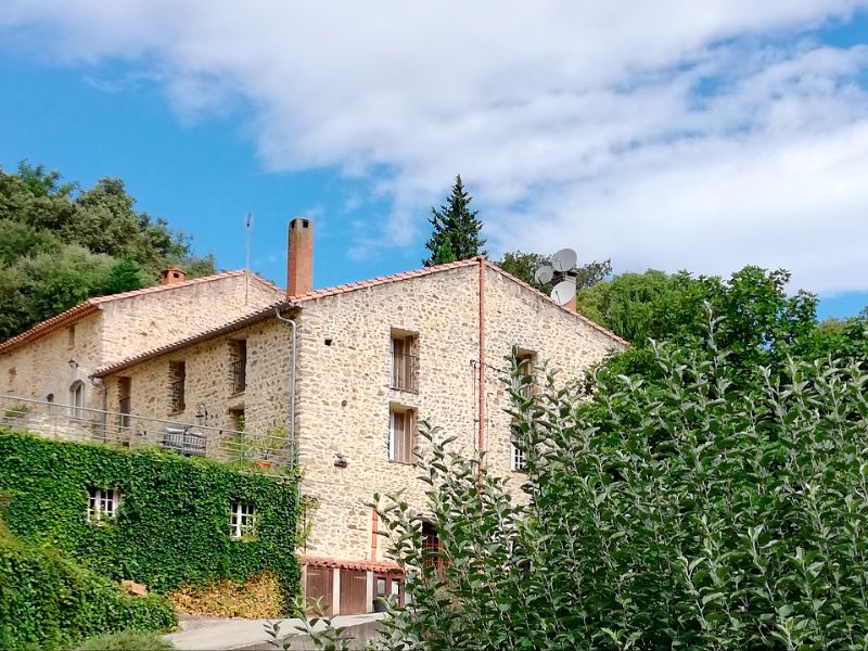
Masses of Character
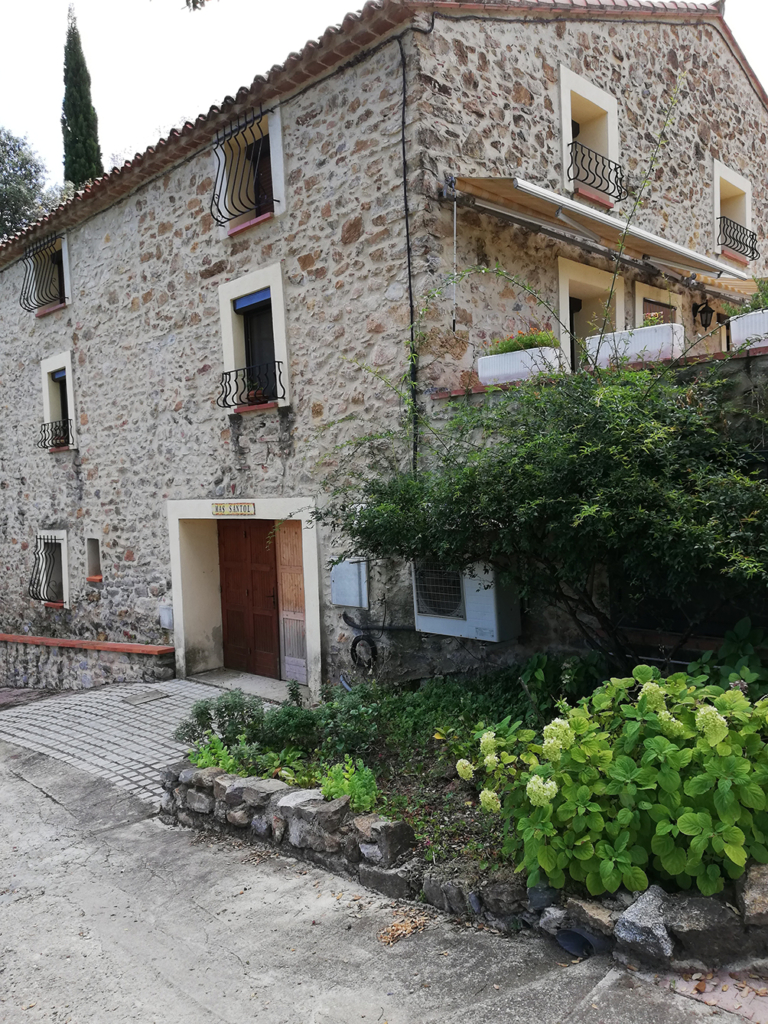
The word ‘mas’ is a bit of a mix of ‘maison’ and ‘manoir and describes a traditional farmhouse or cluster of houses in Catalonia, or Provence, originally the home of a wealthy family.
They would usually be built in a well-sheltered spot, near a source of water, facing south to protect against the Mistral or Tramontane, with narrow windows to protect against heat and cold.
Most would have a ‘rebost’ – a special cold room to store meat and fresh produce before fridges were invented. Stone, red brick and wood were traditional construction materials. Many buildings featured an exterior staircase.
On maps these buildings are called ‘Mas’ in Vallespir, but ‘Can’, meaning ‘chez’, can be found, or ‘Al’ – either of these being followed by the name of the proprietor.
Start
Take D115 from Le Boulou to Pont de Reynès. Park in main car park next to ‘le Fournil’ former boulangerie/ opposite the D15 leading to Reynès village.
The walk
Cross road and walk up the Reynès road about 100 metres. Turn into the estate Mas Trilles, then take first road left which leads to woodland through a green gate.
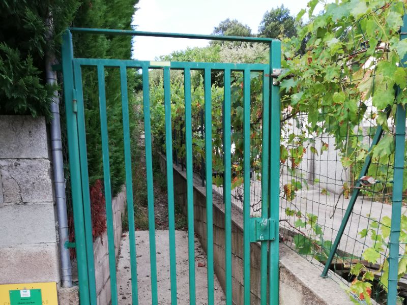
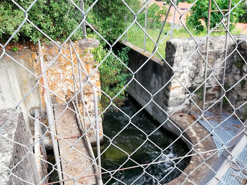
A short steep slope leads up to a fast flowing water channel.
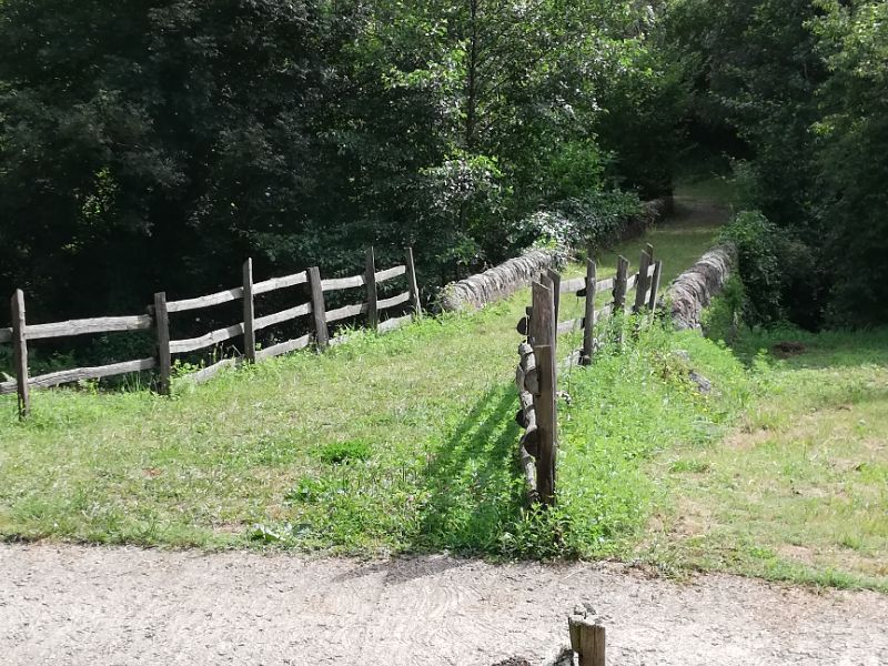
Enter woodland and gradually ascend the earth and stone path towards the top of the ridge. After 25 minutes from start reach an area with fence on left. Follow it and reach a wide piste (double track) straight ahead.
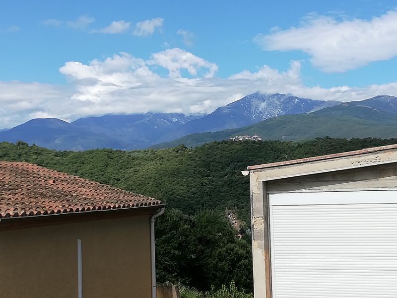
Piste soon bends left (ignore descending one on right). Continue to follow it, ignoring all other side tracks. Views are over to Amélie and beyond.
Around 40 minutes into the walk reach a sharp hairpin bend. Turn right on the bend, entering a more open section with several summer gardens/ huts and plots. Gradually head downwards passing 2 houses to emerge on small tarmac road (leading to Mas de Collet).
Turn left and after 20 metres take signed path on left, leading to village of Reynès.
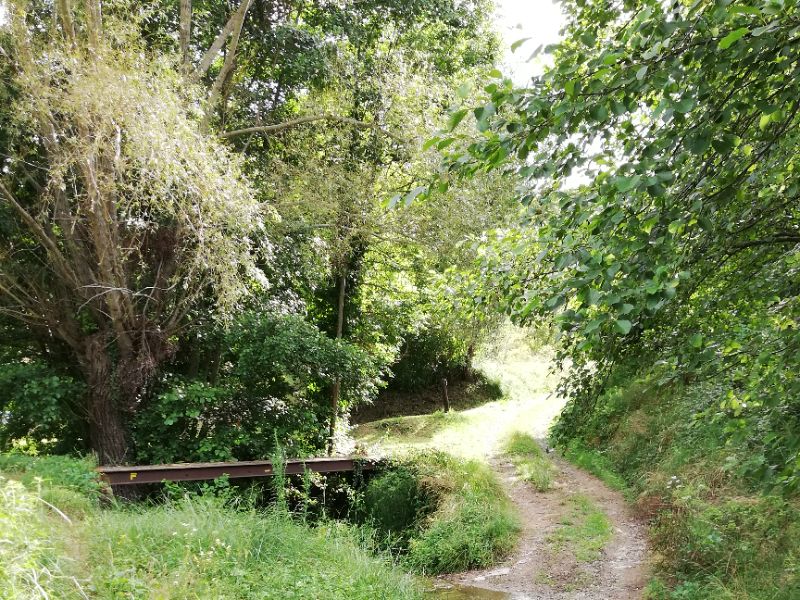
After a descent on rock the path levels off and crosses a small river. A thoughtfully placed footbridge is there for when the river is more than a stream!
Arrive in front of the church at Reynès about 1 hour 15 mins from the start of the walk.
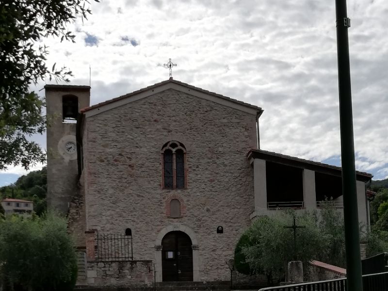
A couple of seats under the trees provide a good place for a break/drink.
The walk continues down the road to the right of the church. Pass a few houses on right to find a spring and the old village lavoir.
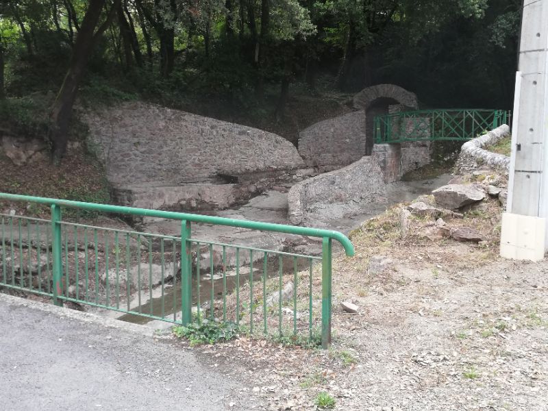
From here one option is to walk up the road for about 15 minutes. A more interesting option is to take the path behind the lavoir – at far side of the little green bridge – and follow it uphill to miss a few bends in the road and emerge at the road just where a long concrete drive leaves it.
Join the main road here and continue to a house named ‘La Creu Can Coste’, situated on a sharp bend. Turn left onto piste to left of the house.
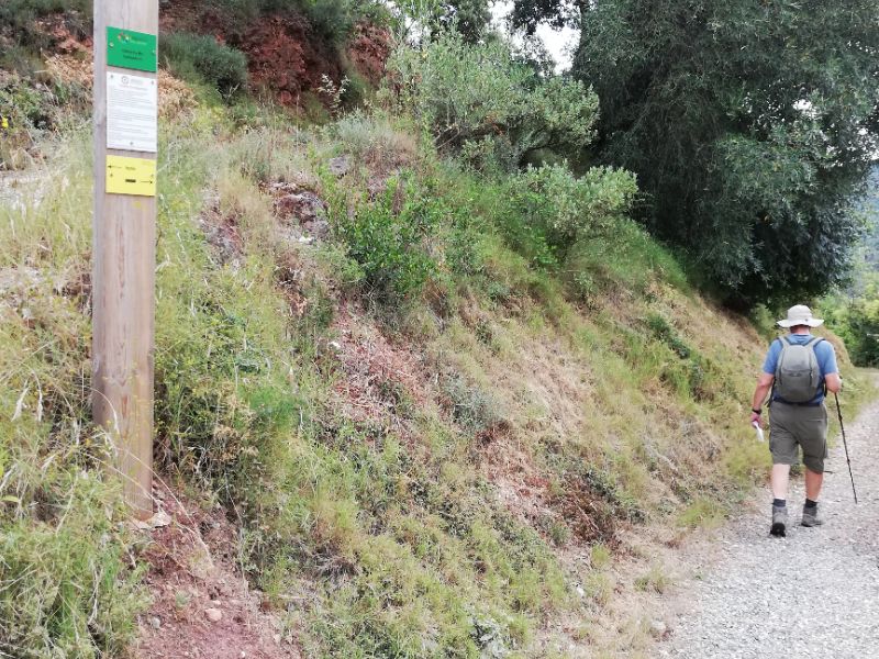
Follow piste 150 metres, then take path on left signed ‘Mas Casals’. Descend gradually over rocky then earthy paths to arrive at the Mas.
Cross the bridge and turn left.
Go straight on at crossroad of paths (upper of 2 paths on left).
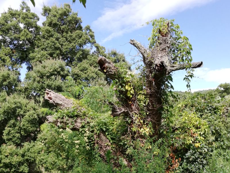
Continue to Mas Santol, noting, near the Mas, the overgrown remains of a 300 year old cork oak.
Let's Tork Cork
Whilst cork oaks (chênes lieges) are plentiful in this southern part of France, few reach such a majestic size as this magnificent tree in the grounds of Mas Santol, Reynès, believed to be the largest in the P-O.
There are a number of cork oaks in the same glade, but this splendid specimen has a girth of 5.41 metres and an approximate height of 21 metres. Unlike many in southern France, it is sufficiently sheltered from strong winds for the canopy to have also achieved an impressive spread.
The estimated age of the tree is between 250 and 300 years. This is generally viewed as the maximum age for a cork oak.
At the beginning of 2023, the tree was officially measured by experts and the application was sent to the Guinness Book of Records, in the hope of beating a Portuguese cork oak which presently holds the record.
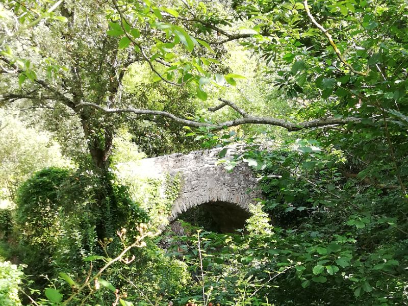
Pass the Mas, down the drive to meet tarmac road. Turn right. After 300 metres, road crosses a bridge. Notice the old Pont du Moulin on the left – detour to walk over it if you wish.
Walk up road about 50 metres to find narrow path on right going up into wood – yellow arrow on road facing out of the path.
Royal Visitors
In the mid 1800s, Queen Amélie, wife of french King Louis Philippe, was regularly to be seen in Amélie-les-Bains taking the waters for her rheumatism, and the area was economically blooming.
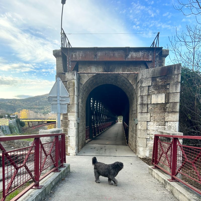
Towards the end of the century, the Elne – Arles sur Tech railroad line was built, the iron bridge having two sections: the lower part was used by cars and the upper part by trains.
Today, much of the present and delightful cycle track taking you from Céret (and beyond) to Arles sur Tech was built in the tracks of this former train line.
The path crosses the road a couple of times to arrive at Col de Bossells.
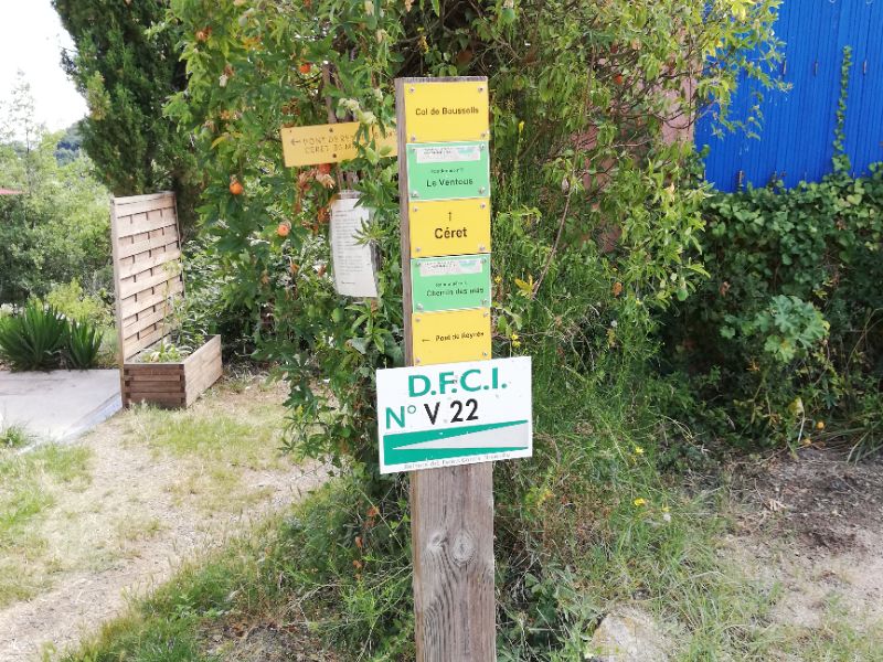
Turn left at the sign. The tarmac road soon becomes a piste/double stony track. Great views open up over the hills and the valley below.
 Follow piste to where it divides. Take left fork signed Pont de Reynès (right is Céret) and follow round the hill.
Lest we forget
The Eiffel-style iron bridge you will pass on your right shortly before parking at the beginning of the walk, was built in 1883, when the region’s fledgling railroad linked Perpignan with the villages of the Vallespir and High Vallespir.
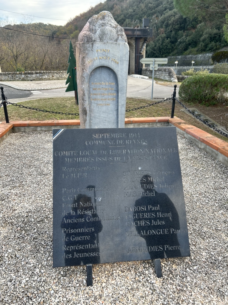
On August 19th, 1944, the retreat of German troops was thwarted by an ambush led by the Vallespir Maquis (resistance).
Retired veteran soldier, Captain François Madern, native of Reynès, was killed in the shoot-out. Traces of bullet holes can still be seen in some places.
At the end of the bridge is a memorial commemorating the historic event. Over 80 years later, Le Pont de Reynès,also known as Le Pont du 19 août 1944, is well-preserved, and has been integrated into the cycle path passing over the former railway track.
The piste weaves round the hills and gradually goes down to a small road where housing starts. Turn right to follow the road back to Pont de Reynès, arriving on the opposite side of the river from where you started.
Maybe relax with a drink at the bar/restaurant opposite the car park!