UPDATED AUGUST 2026
Villelongue-dels-Monts to Santa Maria del Vilar
With Leigh and Merry Foster
This walk is a circuit in the Albères hills above the small village of Villelongue-dels-Monts. It is a bit steep in places and over varied terrain, so stout shoes and a walking stick are recommended.
Part of this route was among the “Paths of Freedom” used by many escaping Jews, Allied pilots and members of the French Resistance to enter Spain, and in the opposite direction by Spanish Republicans escaping during the ‘Retirada’.
It is about 8.5–9 km, with around 500 metres of ascent, and takes 3–4 hours or more depending on how often you stop to take in the spectacular views. Remember to take plenty of water in warm weather
Access
The start point is reached from Villelongue. Follow the signs up the ‘Cami del Vilar’ towards the Prieuré Santa Maria del Vilar for about 1.3 km until you come to a parking spot in the woods on your right, near a large water tank. The Prieuré is about 1 km further up the track, but our path starts lower down and follows the signs for the walking path DFCI AL7.
Map: IGN 1:25,000 Banyuls/Col de Perthus/Côte Vermeille (2549OT).
The Walk
Yellow marks throughout.
Follow the dirt track down to the right from the car park, past a small stream, after which it doubles back and starts to climb.
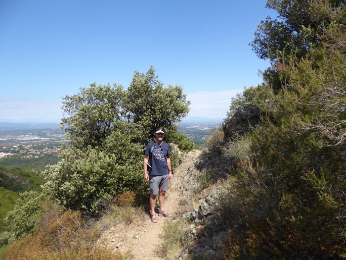
After about 300 metres you come to a hairpin bend where you can see across the plain of Roussillon from Canigou to the sea. From here the footpath leaves the track, climbing the west side of the ridge while the track heads south and east.
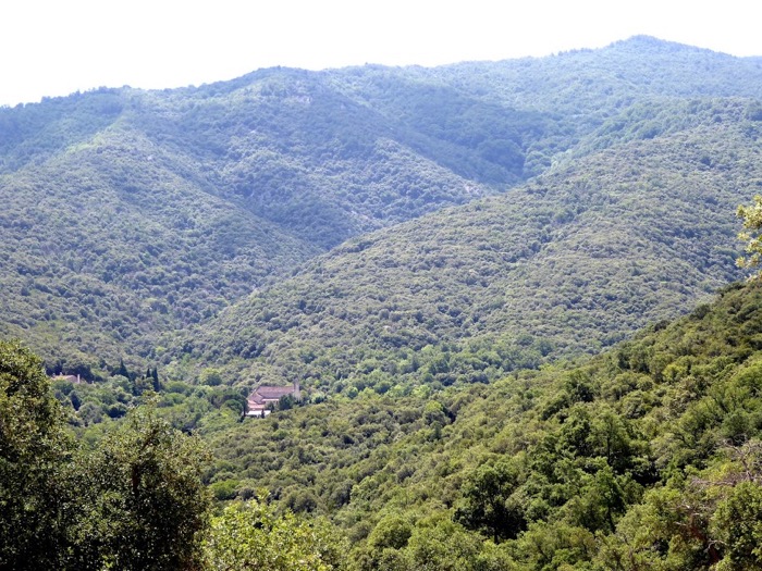
The path climbs quite steeply through the brush and trees until you come to a fork. Take the left fork, which continues upwards for another 300 metres until you emerge from the woods onto the same dirt track at an elevation of about 370 metres.
From here the view is even more spectacular, with clear views over the villages of the Albères and Le Boulou all the way up to Canigou and back towards the shining coastline.
Now follow the track to the right as it climbs south along the ridge for another 450 metres, where, just before a right-hand bend, you leave it and turn left onto the footpath.
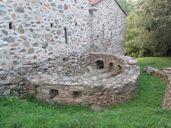
After only 20 metres, turn right and continue climbing the hill through the forest. If you can spare a few minutes, go straight on for another 50 metres or so and you come to a clearing where you will find the Ruines de Cortal Cossanes, with their amazingly precise ancient pink stone walls and arches, overgrown by vegetation.

After climbing for another 600 metres, as the forest slowly changes from cork oaks to beech and conifers, surrounded by the constant chorus of thousands of crickets, you reach a plateau on the ridge and start to descend slightly, crossing the course of the stream of Sant Cristau.
This is a welcome break before the final climb to the head of the valley of Villelongue, which is the southernmost point on the trail, at about 580 metres elevation. Continue northeast up the hillside over a ridge marked on the map as ‘El Reposador’, or “the restful one”, at around 610 metres.
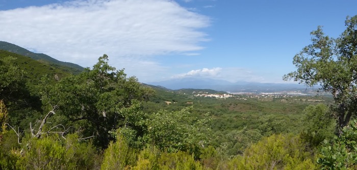
Certainly you will need a rest after reaching the 610-metre elevation and completing the long, hot climb. There is a small ferny, grassy clearing there where you can take a well-earned break, relax and take in the amazing views back down the valley, over the villages and the plain below, with the Puig de Sant Cristau at your back.
After getting your breath back and maybe having a picnic, it’s time to start your descent, heading north, passing many ruined walls and pavings on the way which hint that this was an ancient pilgrim’s (and smuggler’s) path.
About 250 metres beyond the rest stop, there is a path to the right down into the next valley which you should not take, but stay on the ridge as it descends, quite steeply in places, back towards the bottom of the valley about 1 km away.
There is a short rocky section to clamber down, and near the bottom continue straight, passing a couple of paths leading off to the left, and turn right at the bottom towards the Prieuré.
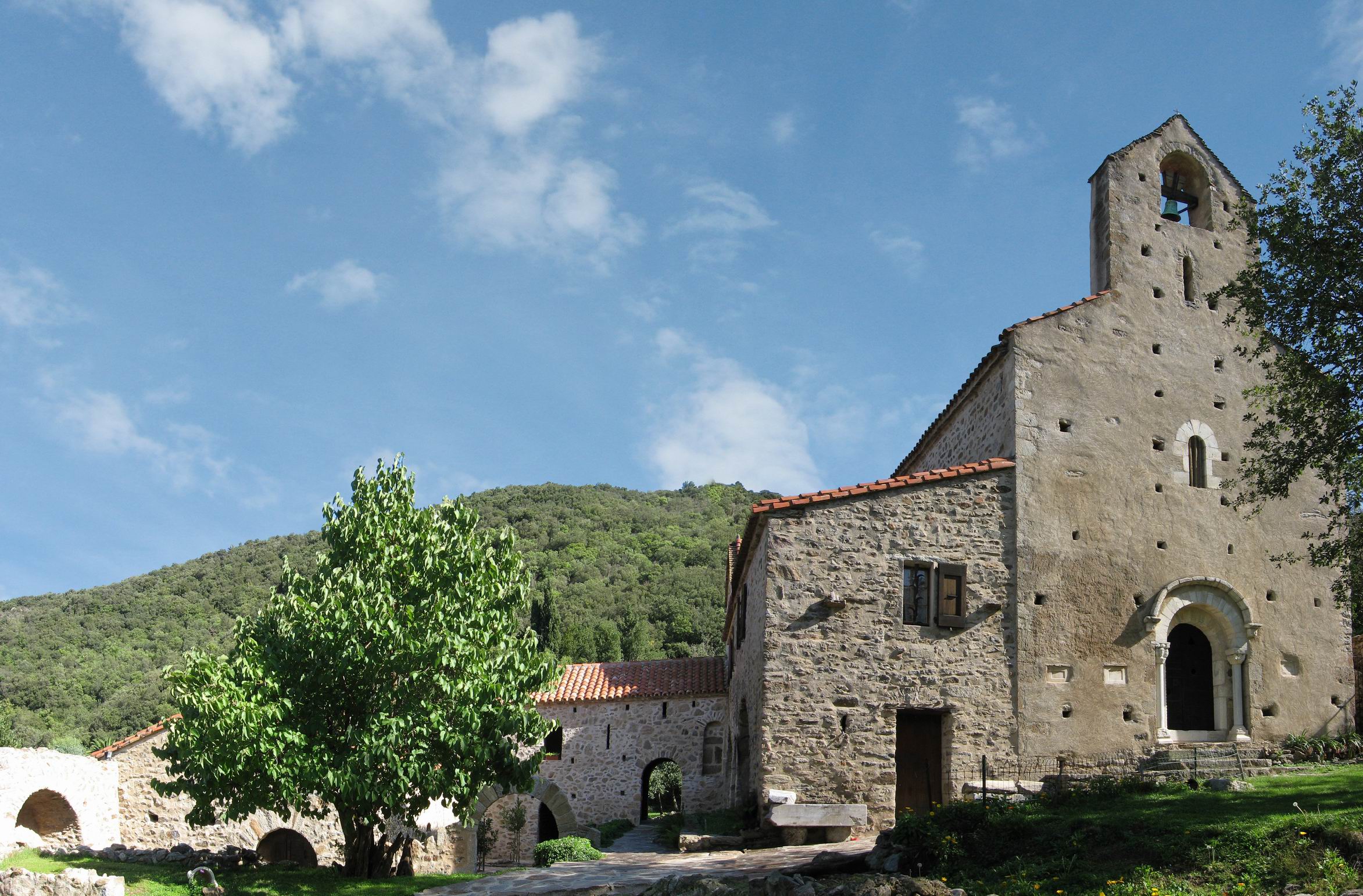
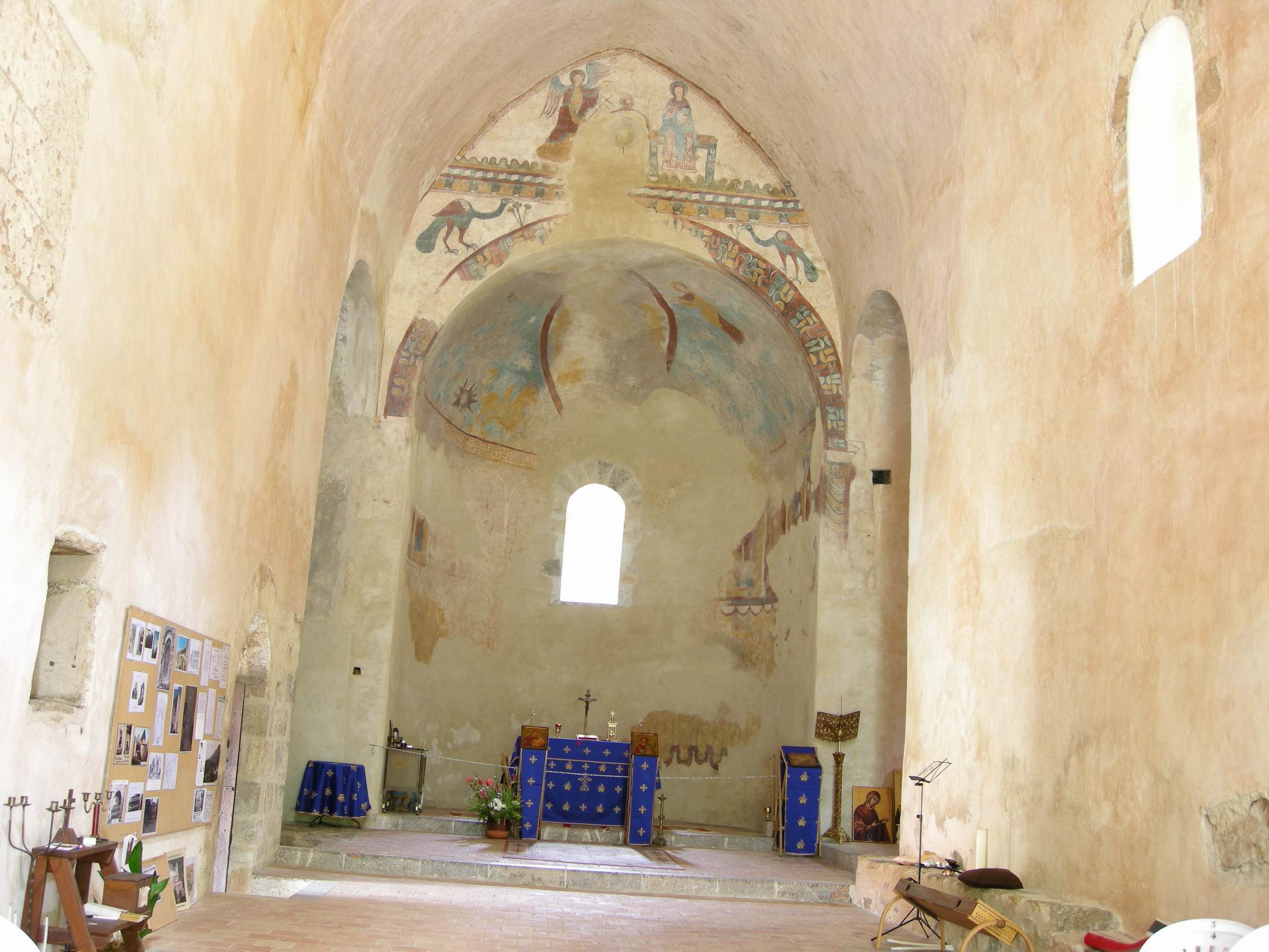
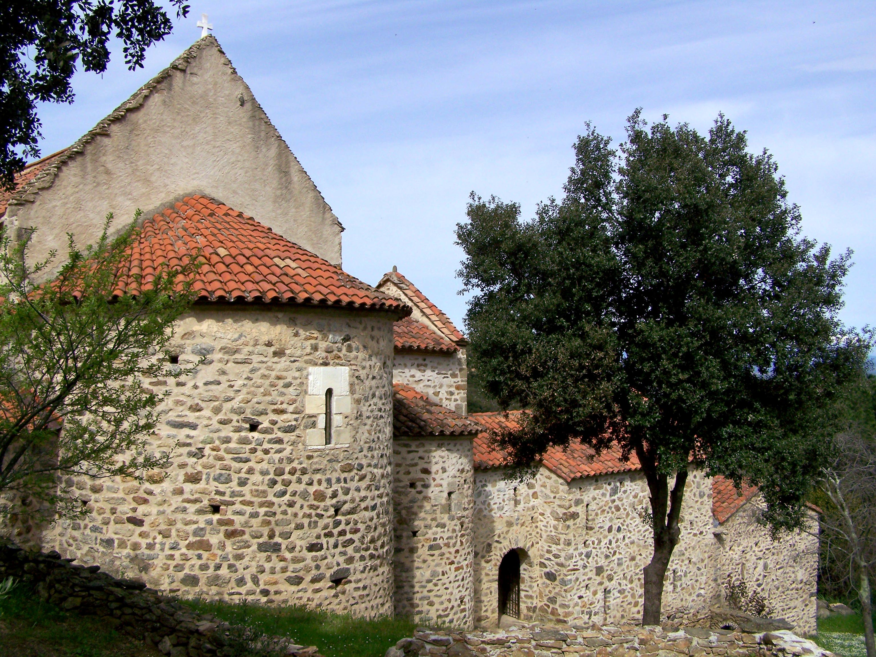
If you have time, do call in at the Prieuré, subject to its current opening times. It is a charming building, rescued and restored as a convent after being abandoned and, according to local history, used as a home for pigs in the 18th century. It has a fascinating history, and the nuns are happy to tell visitors about it and show them around its ancient treasures.
Continue about 1 km down the road from the Prieuré back to the parking place, and congratulate yourself on discovering another hidden part of this beautiful region!