JANUARY 2026
It’s still early – but we now have an official route for Stage 3 of the Tour de France, which will be Granollers (Spain) to Les Angles (P-O) and while the full detailed map with every small village isn’t yet published, there is enough information to give you a clear idea if you’re planning to be around the Pyrénées-Orientales when the Tour de France passes through next summer. 
🇫🇷 Tour de France 2026: Stage 3 — Granollers → Les Angles
🗓 Monday 6 July 2026
- Start: Granollers (Spain)
- Finish: Les Angles (Pyrénées-Orientales, France)
- Distance: approx. 196 km
- Type: Mountain stage with a high-altitude finish 
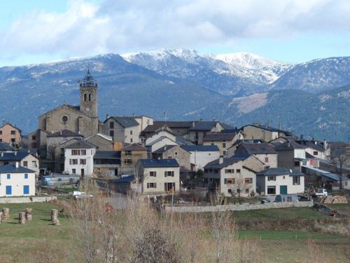
This is the first major mountain stage of the Tour, and it will be the first time the Tour finishes in Les Angles — a spectacular Pyrenean ski resort at nearly 1 800 m altitude. 
🗺️ Likely Route Through the Region (Unconfirmed this early in the year)
Here’s a good working outline based on the official stage profile and known climbs. Exact small-road traces will be finalised and mapped closer to race day (usually a few weeks before July), but this gives you a solid sense of where the race will go and where people can position themselves: 
🇪🇸 Spain to France
– Granollers (start) and then through Catalan foothills
– Small towns such as Saint Feliu de Codines, Centelles, Vic and Ripoll (Catalonia) as the riders begin climbing toward the Pyrenees 
🏔 Approaching the Pyrénées-Orientales
•Planoles → Col de Toses (a notable climb near the Spanish-French border) 
•Puigcerdà — at the edge of France, a traditional Cerdagne town near the border deep in mountain country 
🇫🇷 Entering the P-O
Once in France the route climbs toward:
– Font-Romeu — known for its altitude and training facilities 
– Col du Calvaire — one of the day’s higher points 
– Final ascent into Les Angles — where the finish line is set against panoramic mountain scenery 
📍 Key Places to Watch in the P-O
While the exact kilometre-by-kilometre route map hasn’t been officially published yet, based on the known stage profile and likely approach, here are good strategic spots for spectators around the Pyrénées-Orientales:
🥇 Les Angles
– Finish line — the best place to see riders complete the stage. Usually a festival atmosphere with screens, music and stalls 
🏞 Font-Romeu & Col du Calvaire
– These high-altitude points are dramatic vantage spots
– Great if you want to see the breakaways or climbing efforts
🏔 Nearby Areas Worth Considering
(Not confirmed but logically close to the line of travelEspace Cambre d’Aze
– Bolquère
– Station de ski de la Molina / Puigcerdà area (before the border) 
(Exact route maps with access roads and closures will be published official by letour.fr weeks before the event.)
🗺️ Once the Official Map Is Out (Expected ~June 2026)
– Look for a detailed interactive stage map on the official Tour de France website.
– If you use mapping apps or GPX files, you can plan precise stopping points.
– Roads are often closed well in advance of the riders (sometimes hours before), so plan where you will park and walk to your viewing spot.
📌 Quick Tips for Watching the Tour
– Arrive early — crowds build fast, especially near the finish.
– Pack food, water and a folding chair if you plan to wait.
– Local navettes (shuttle buses) and park-and-ride services often operate on race day — check town tourism sites.
– Expect full road closures near summit finishes.