by Garrett Fisher
Flying High in the P-O
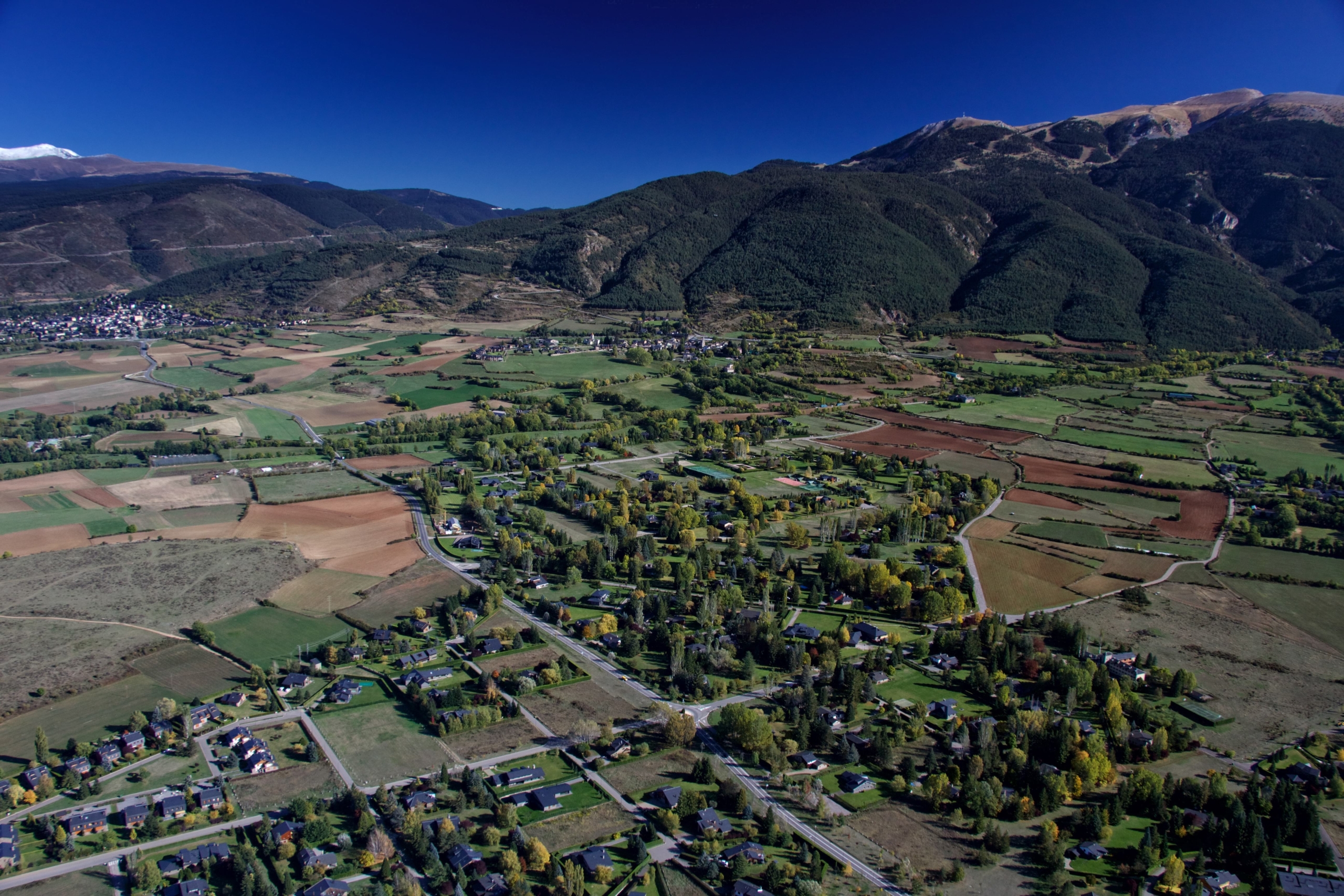
My first introduction to the Pyrénées-Orientales by air was two years ago, flying from Germany to La Cerdanya in a small plane, just over the border into Spain.
I had dragged an antique two-seater aeroplane built in 1949 with me, having shipped it in a container after years of flying all over the United States.
Now in the Pyrenees, I was quite pleased that the place reminded me in many ways of Wyoming, my last home before coming to Europe.
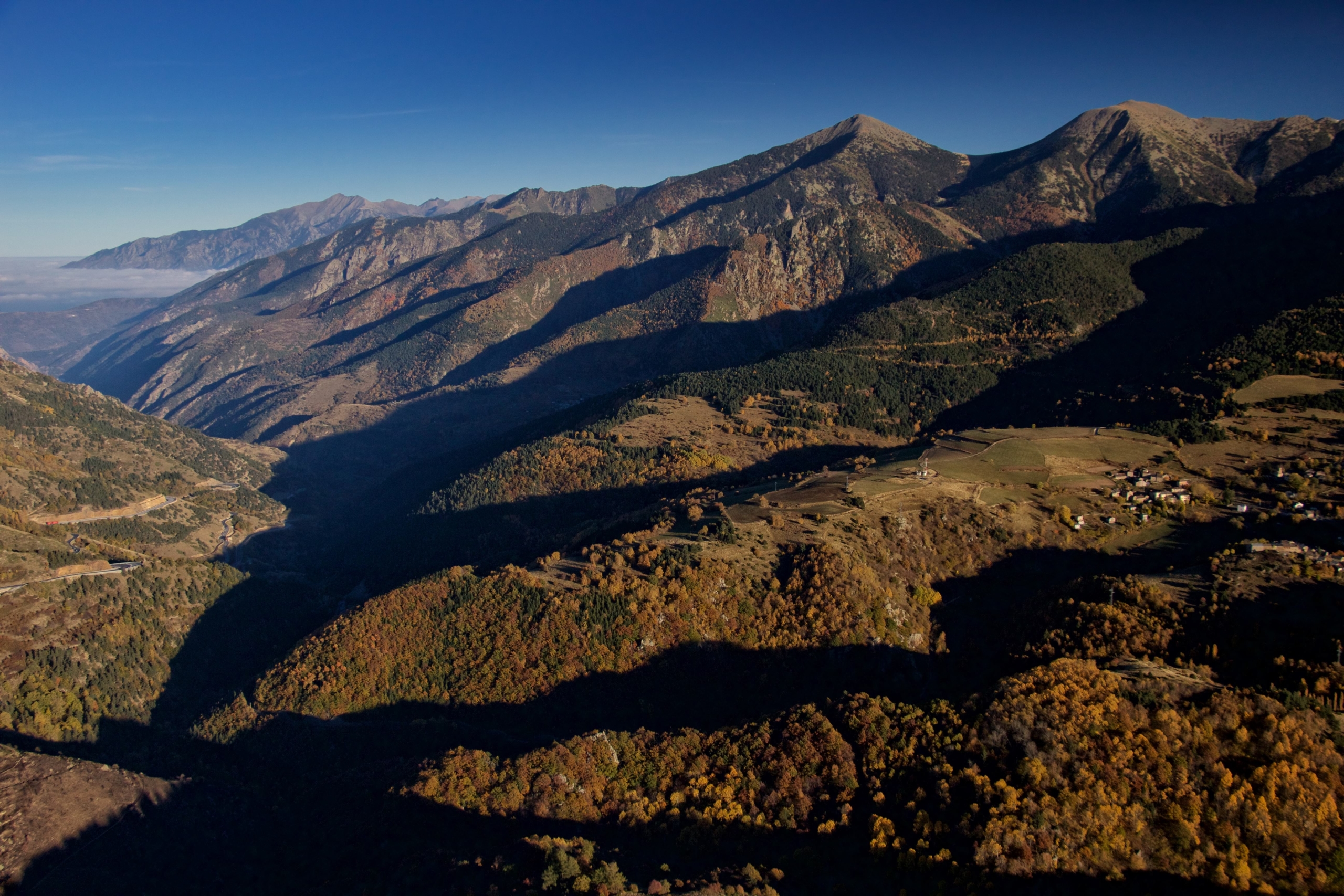
Air traffic control, flight plans, and other activities commonly associated with commercial flights are not always required for small, private aircraft, literally allowing someone to hop in and go, presuming some basic weather and aircraft checks are done.
My aircraft is rather slow, flying at 120 km/h, which means I typically spend most of my time rather intimately at about 250m above the ground. At these low altitudes, one can smell the scent of pine trees, fields of flowers in bloom and the crisp salt air.
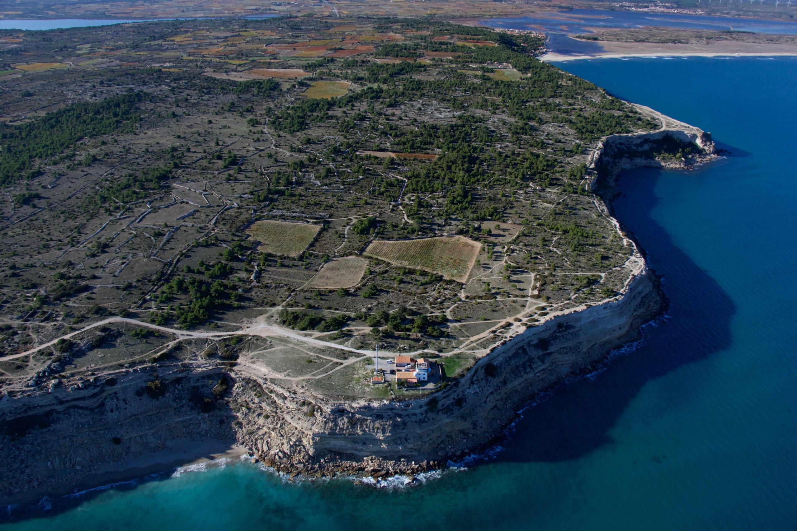
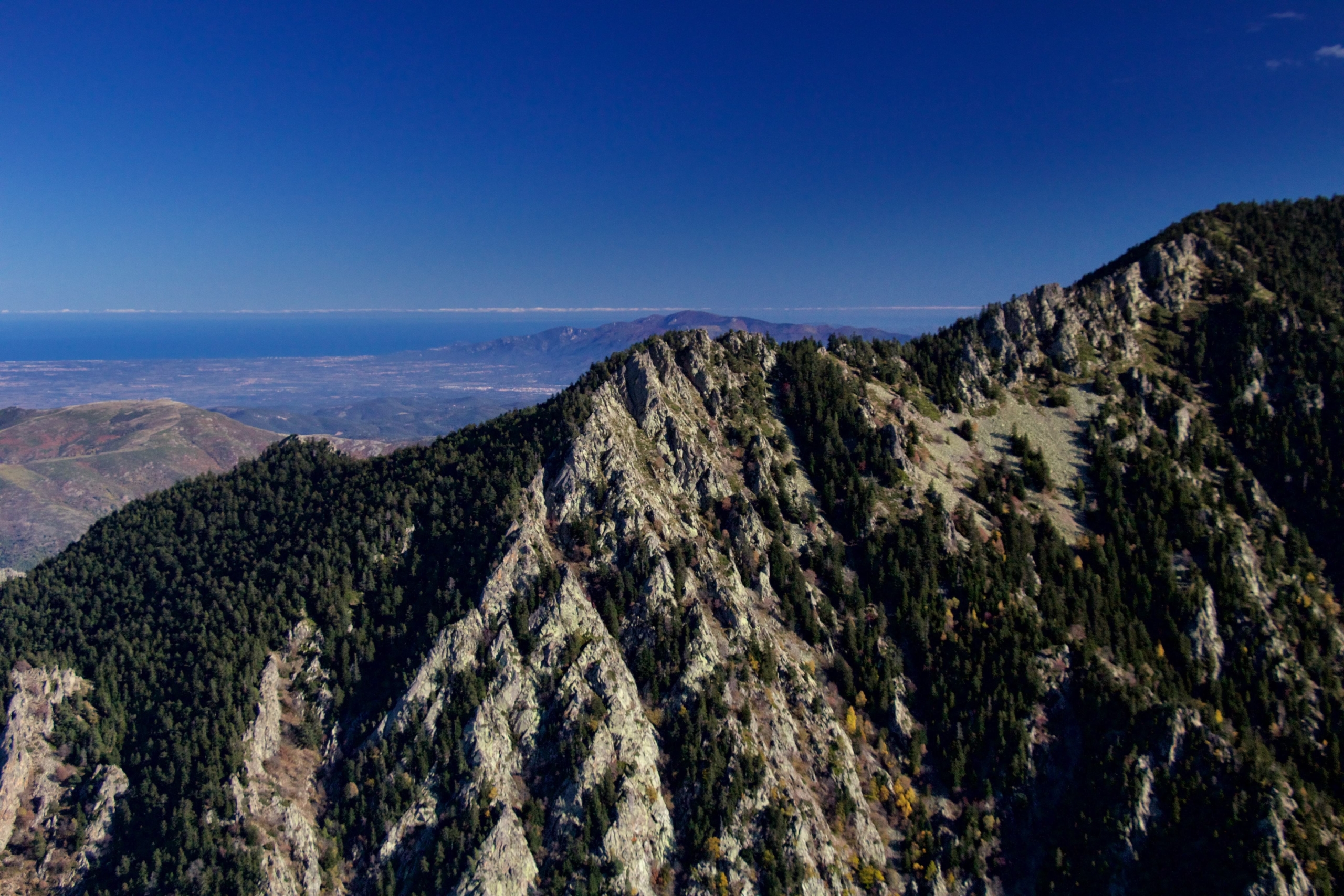
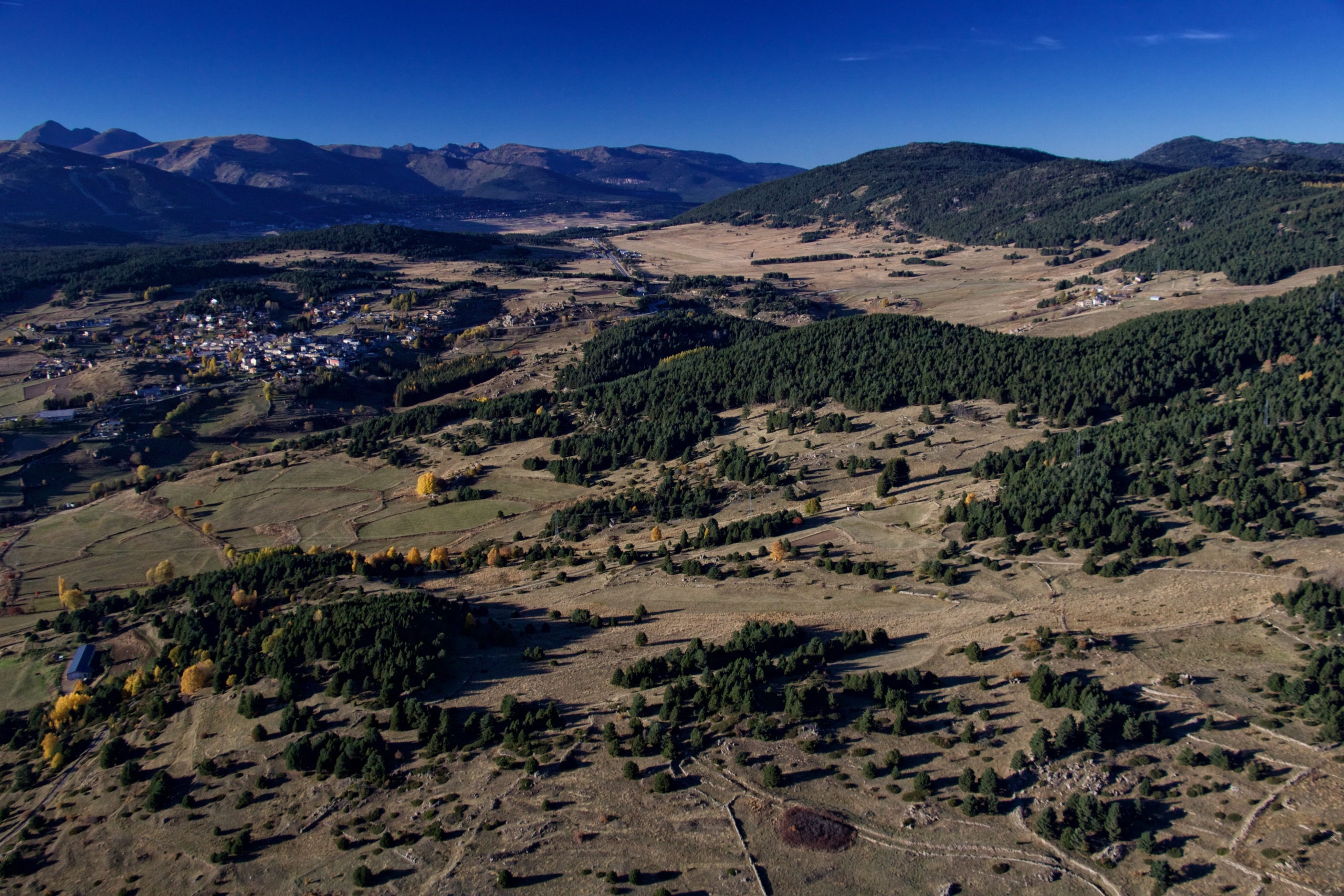
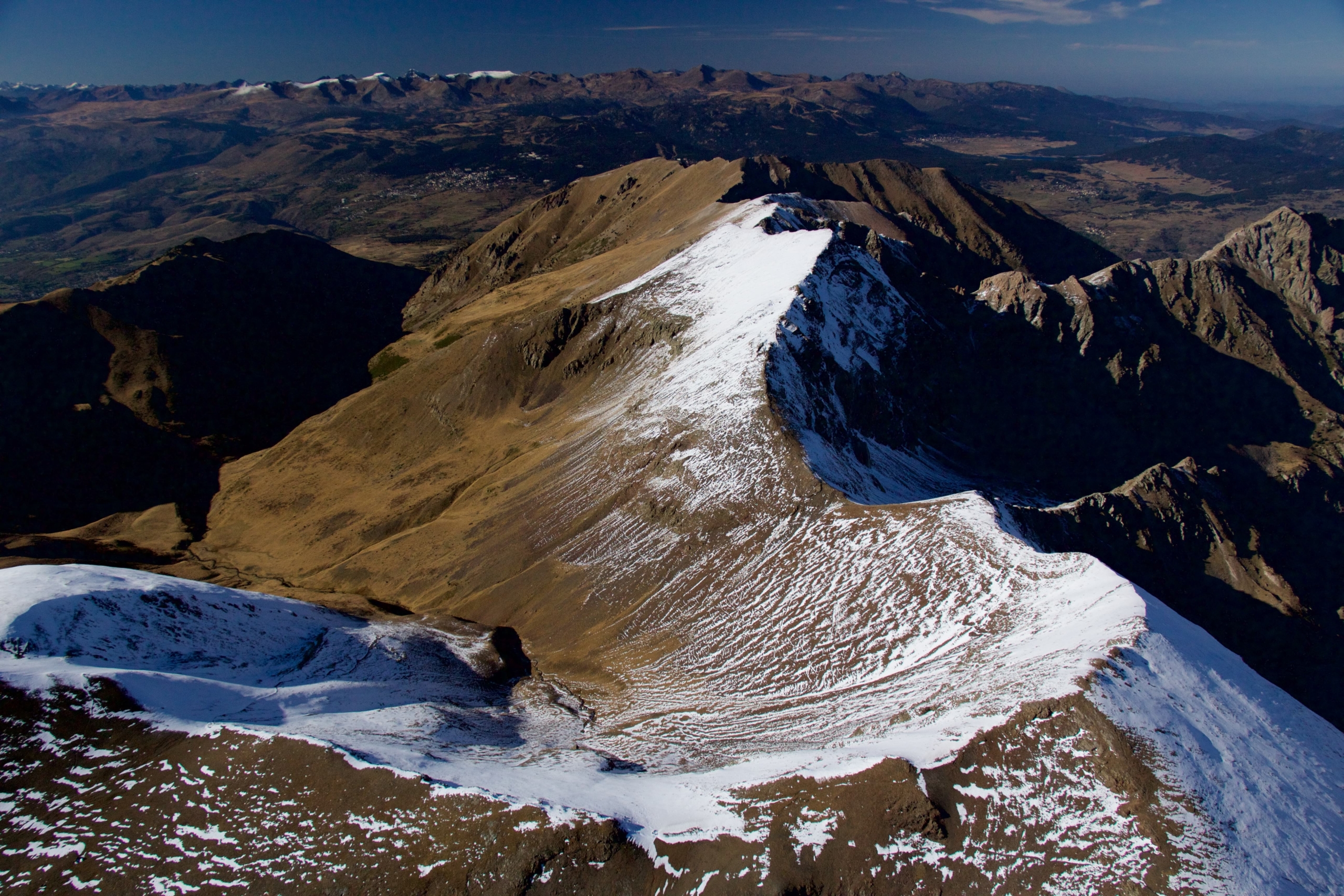
It didn’t take long before I began to uncover an incredible variety of things to see and do on all points of the compass. There are at least 5 major climate zones that intersect this section of the Pyrenees, with incredible changes in 50 miles in any direction.
I became educated in the concept of the Tramontane when fueling at Lézignan, hoping my aeroplane wouldn’t get blown over in this curiously angry wind on a late summer afternoon.
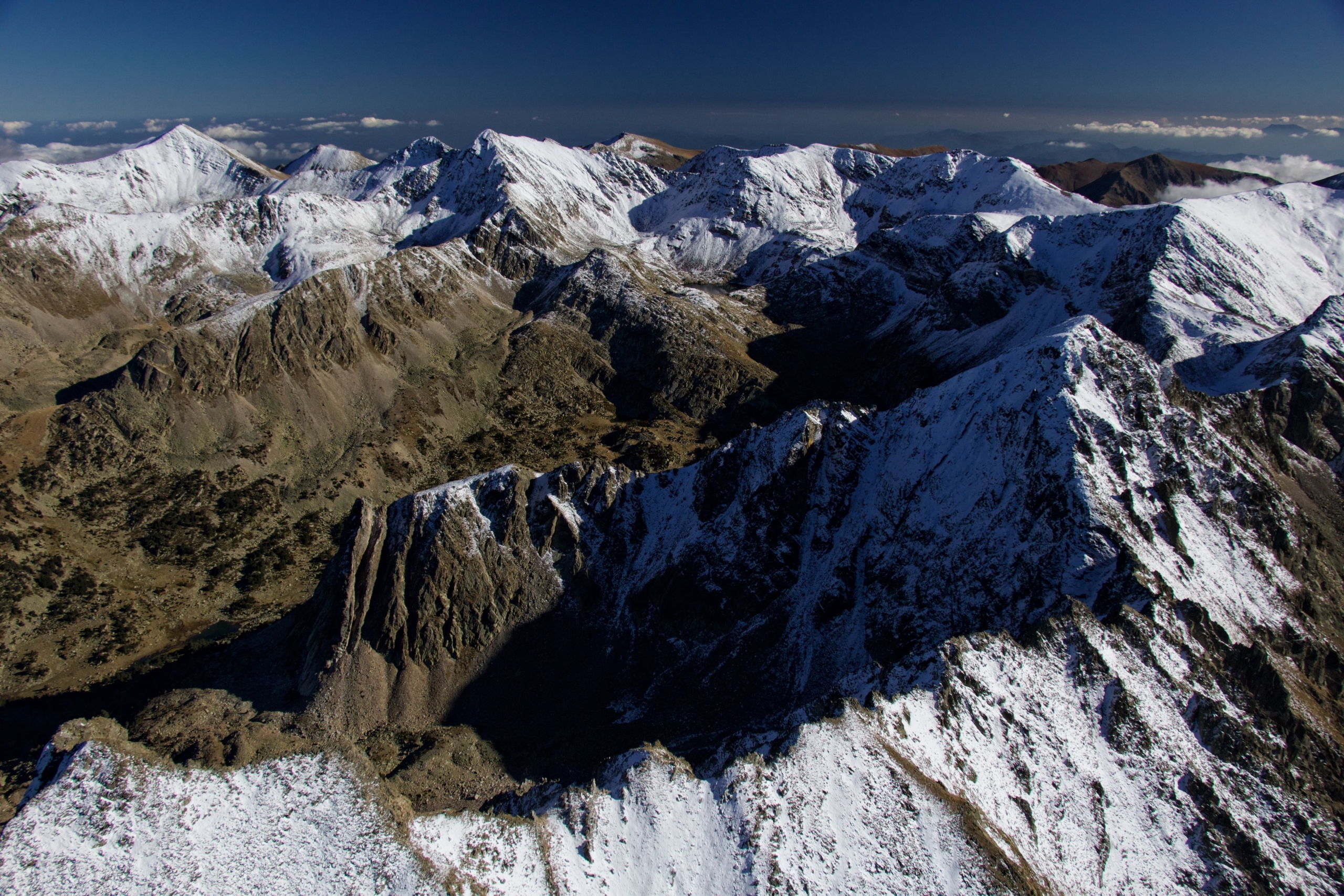
I have been an author and aerial adventure photographer for some years and since in La Cerdanya, I have explored the region in incredible detail, snapping well over 100 000 images in the process.
I look forward to sharing many of them in the future, to show the region from a different yet intimate perspective.
Garrett Fisher has published a book documenting his local adventures, The First 100 Days: Flying in La Cerdanya, available on Amazon. Find out more about the author here.

