Walk the region : Ultrera
With Tim and Chris Parker
Key Info This is a circular walk from the hamlet of La Pava, offering wonderful views from the Chateau d’Ultrera. Total distance 6.5 km with approximately 445 m of ascent. The ascent is in woodland, offering welcome shade. However, the descent is more open to the sun. Allow 4hrs for the full route. Although at least 40 minutes can be deducted if you do not go the Chateau d’Ultrera. Route waymarked yellow on ascent with regular signposts at junctions. Walking boots and plenty of water essential. A challenging walk because of the rocky terrain on the final ascent to the Chateau. A short ladder to the chateau area is difficult if you have dogs who cannot be carried and dogs should be on a lead at the top as there are very steep drops Access: map IGN 1:25000 Banyuls Col de Perthus Cote Vermeille 2549OT |
Start
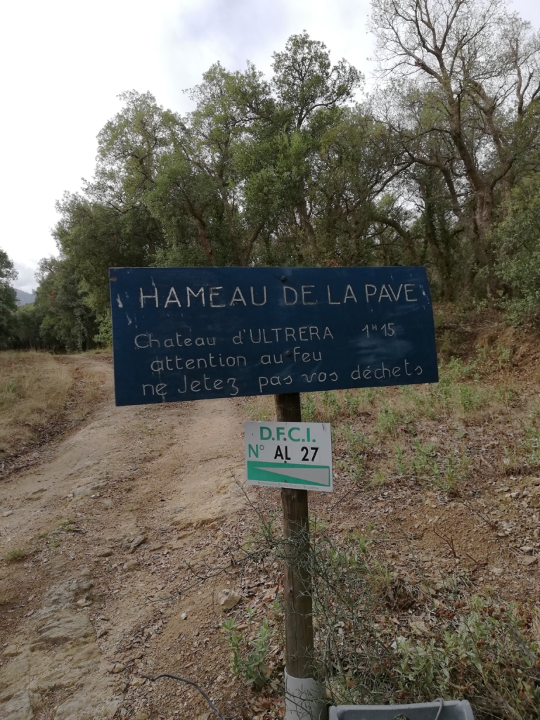
D914 from Perpignan to Argelès. Exit onto the D 618 (Argelès to Le Boulou road) then take first left, signed Zone Artisanal and go straight on to reach another road (D2). Turn right then first left, signed Lavail. After approximately 1 km, park in lay by just before the hamlet of La Pava.
The walk
The footpath to La Pava rises directly from the parking area.
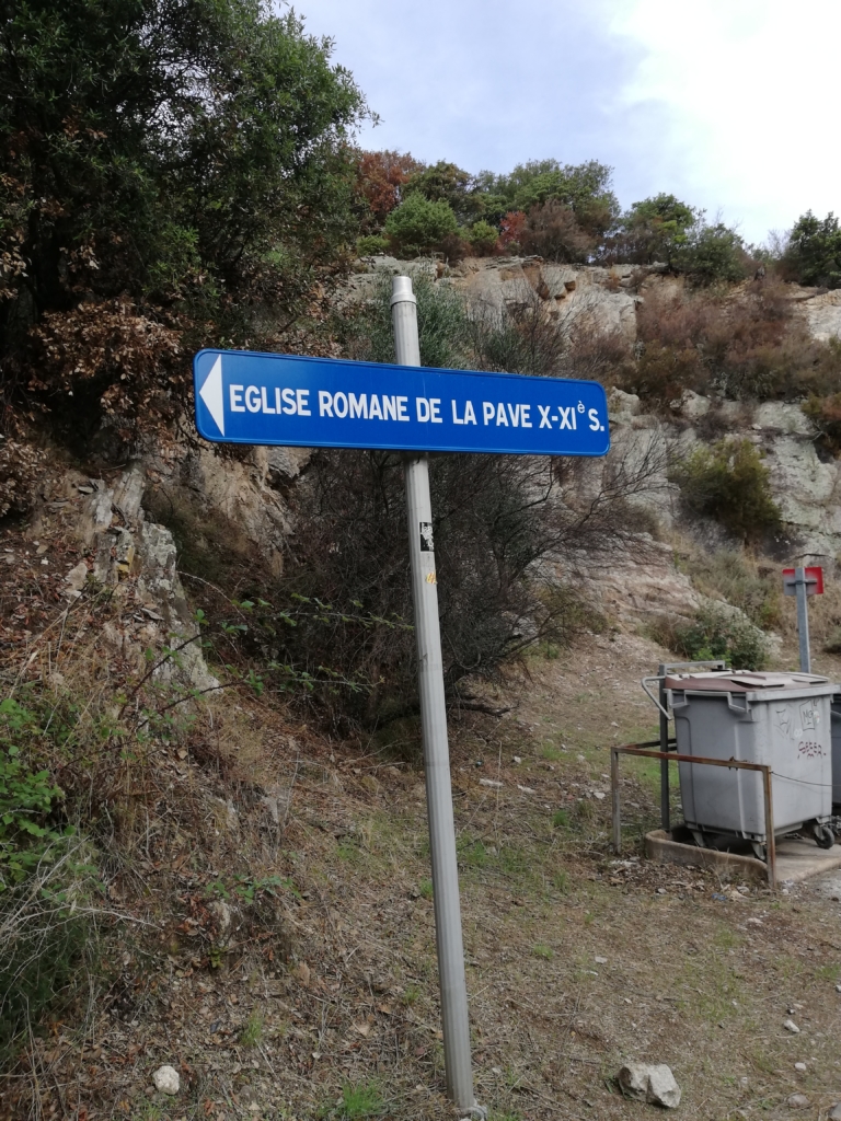
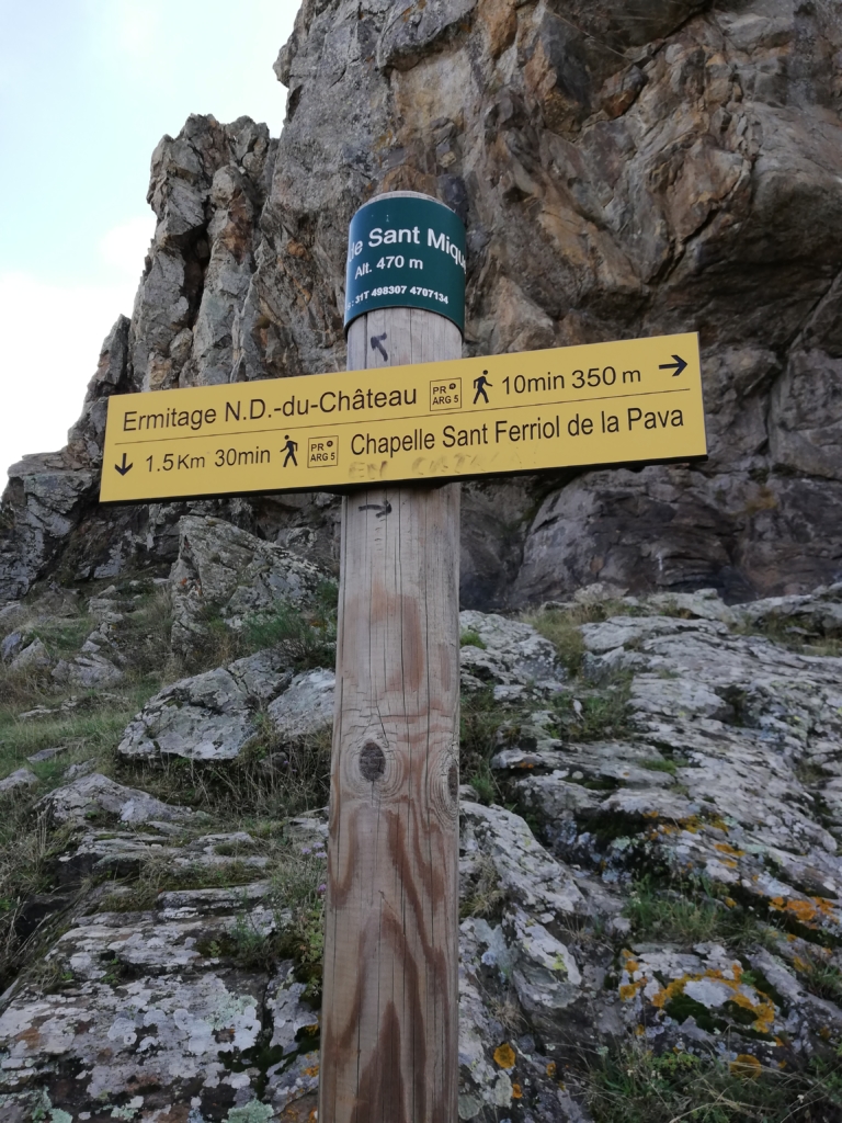
Take path uphill to arrive at La Pava after 10 minutes. Turn right up the road to find the 11th century church St Ferriol de la Pava on the left. You may wish to visit.
The church is on an ancient route over the Albères and the hamlet used to be called La Pausa – suggesting it was a place of rest on journeys. The oldest part is pre-Roman 10th century and the other part is Roman. When the commune of Argelès took on responsibility for the church in 1858 it was rededicated to St Ferriol. It has been classed as a historical monument since 1991. |
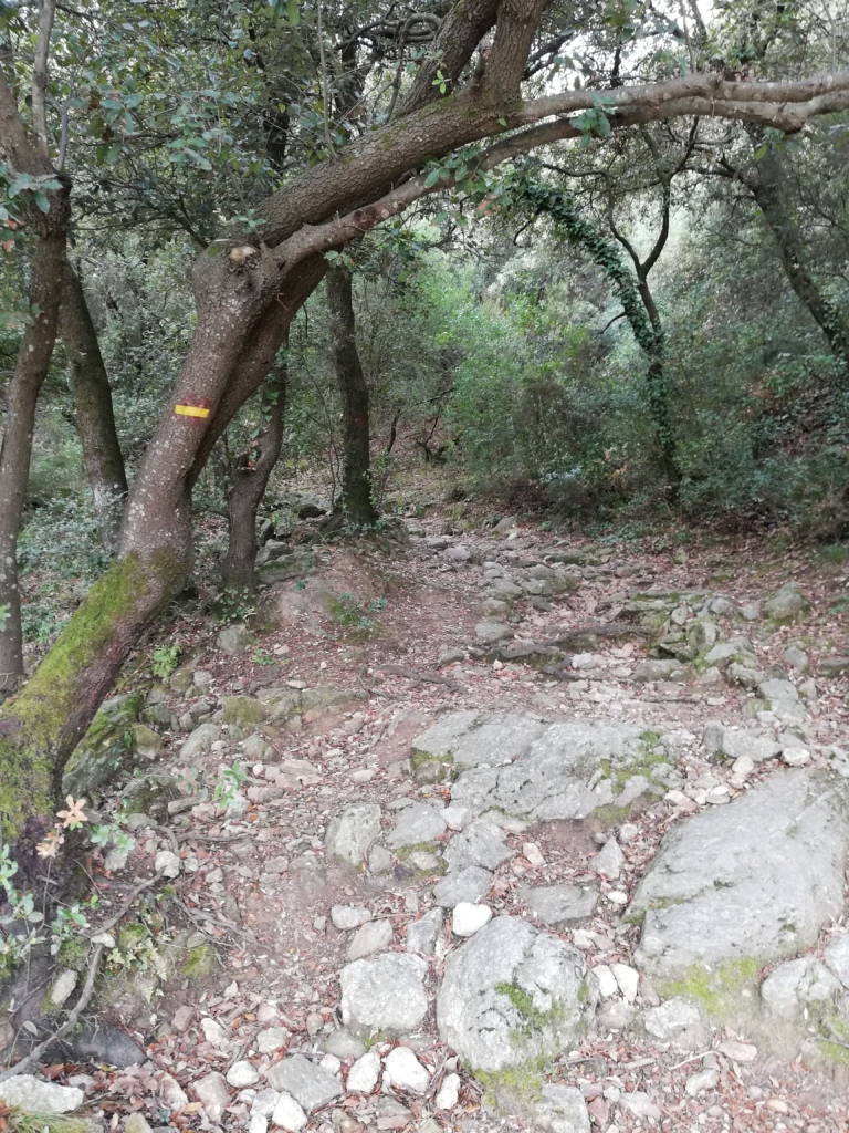
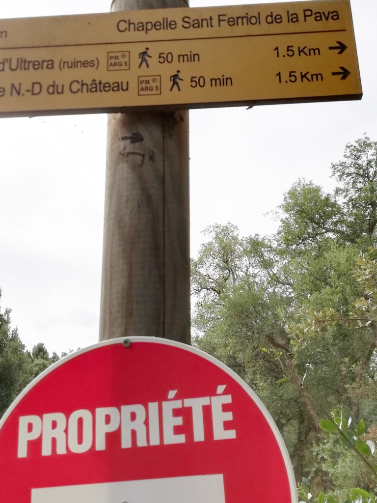
From the chapel take the waymarked route towards Ultrera to the right and enter woodland.
It is difficult to know what to make of the different time estimates given! It certainly took us 1h 15 mins to reach the area below the final climb to the chateau – pensioners pace!
After 5 mins from church, cross a piste to continue upwards almost opposite (waymarked).
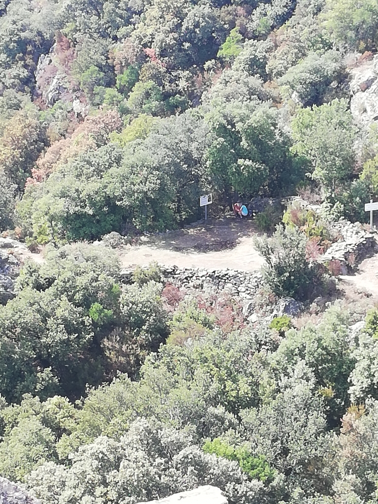
Enter woodland again and after 10 minutes more arrive at the Font del Bosc.
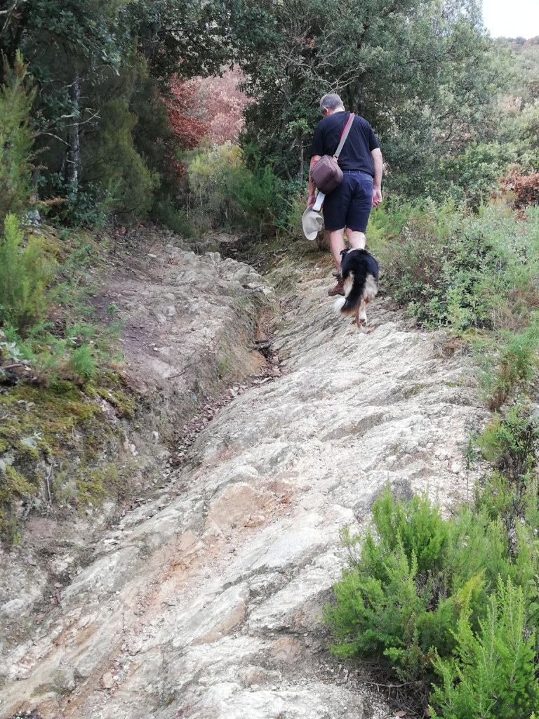
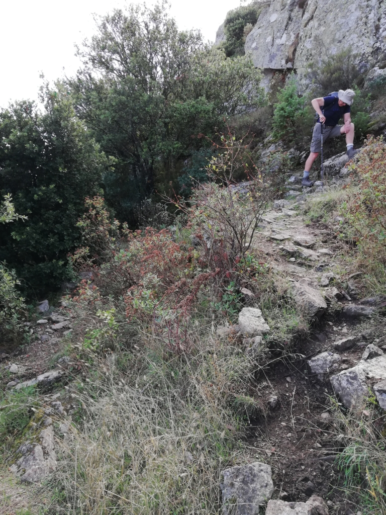
The path continues steadily uphill with some rocky sections on the way. A first archaeological dig site of foundations on the ascent is now only just visible on a more open corner. Since the digs of 2013, nature has taken over.
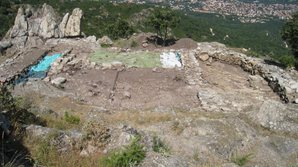
The path becomes more challenging as you get nearer to the second archaeological dig site below the cliffs of the top section of the ascent.
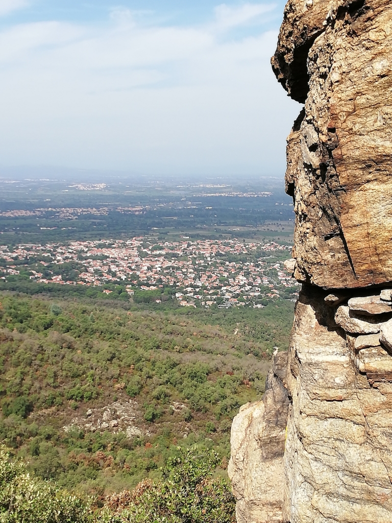
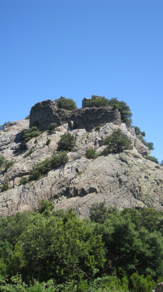
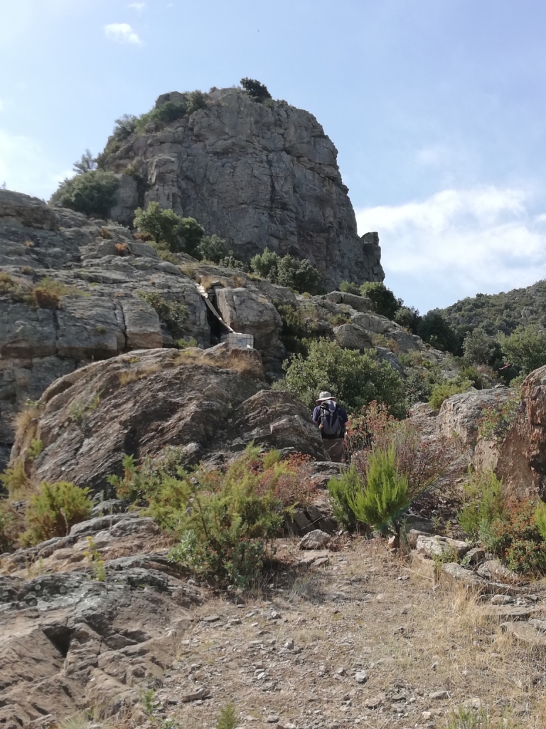
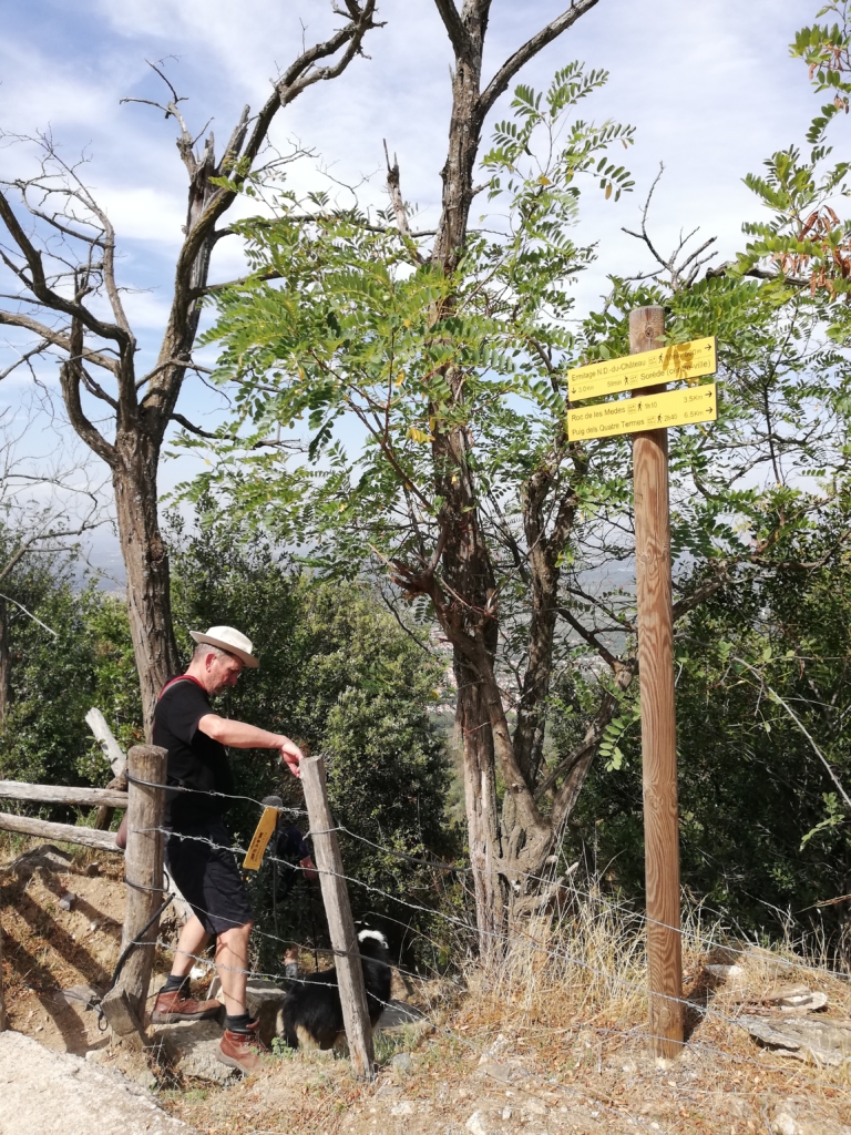
Emerge at Puig Sant Miguel, where the views are great all around and the cliffs behind the Chateau tower above. An information plaque gives the history of the chateau. Here you can decide whether to continue directly to the Ermitage Notre Dame de Chateau (10 mins) or strike up to the left from the waymarker to visit the ruins of the chateau. If you continue to the Ermitage there is a waymarked path up to the Four Solaire (25 mins A/R).
Visit to chateau and Four Solaire option
(not recommended with large dog!)
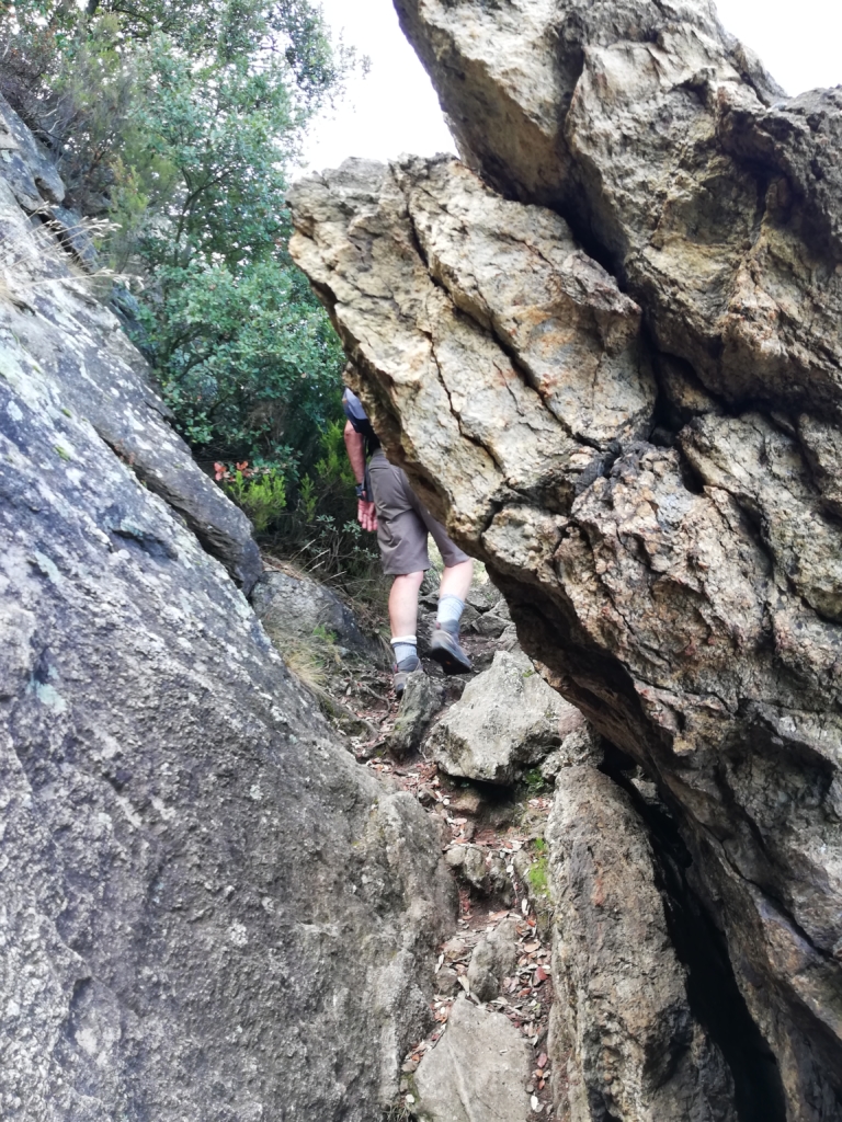
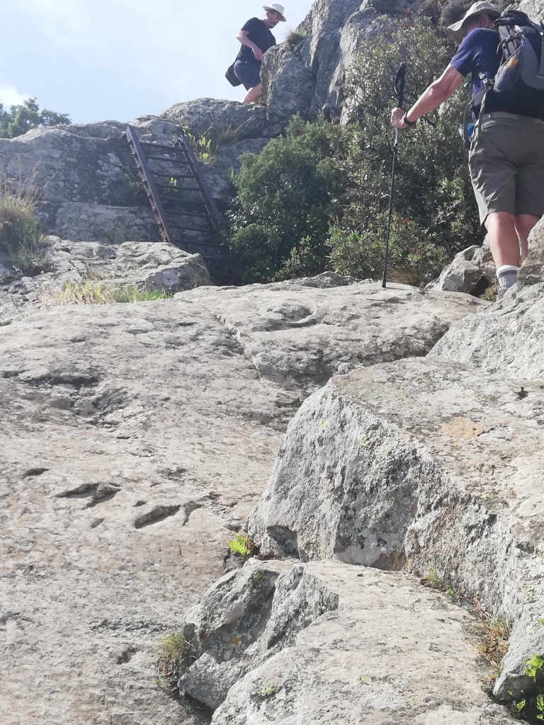
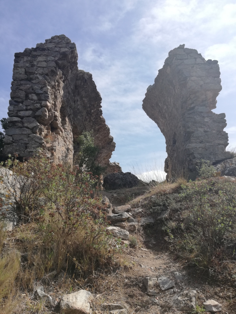
Take the path upwards to left of cliff and follow it round along a rocky edge. Path drops slightly. Soon after this look out for a path up rocky steps on the right which goes directly to the chateau site. Notice a wall of the old chateau above. (You will come back to this point after your visit). Emerge near ruins of a building before turning right to continue rocky ascent to the summit, which includes a short metal ladder.
Although only parts of the chateau remain, there is plenty to see. It’s position is very impregnable, being surrounded by cliffs on 3 sides. Keep your dog on a lead!
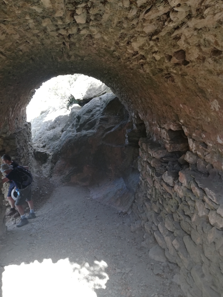
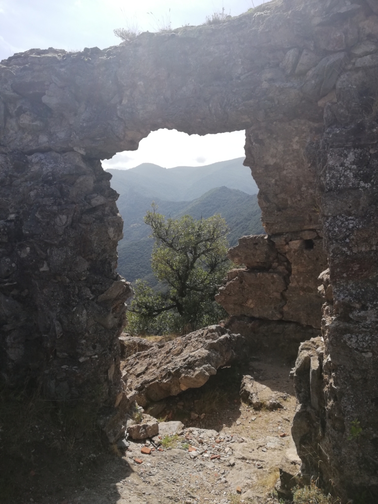
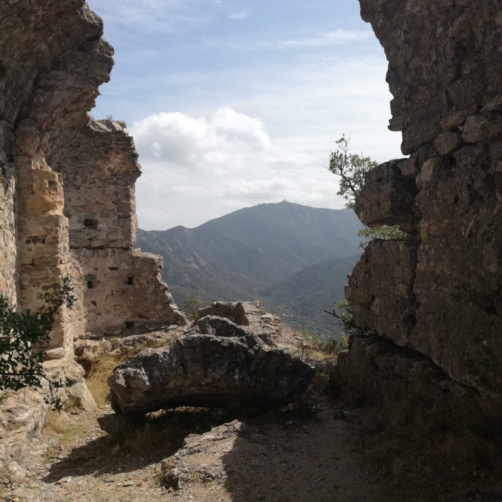
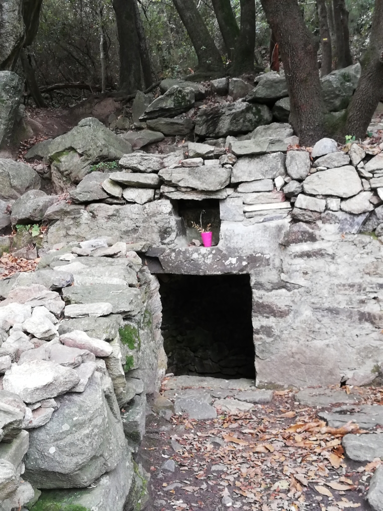
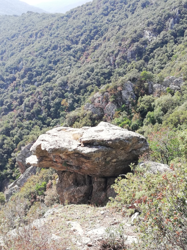
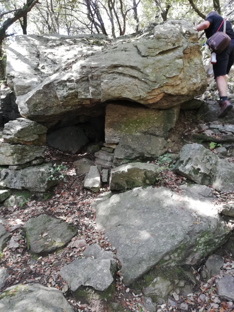
Having explored the chateau retrace your steps to the point you turned up to the chateau behind the cliffs. From here you can turn left back to Puig St Miguel or turn right, as we did, to continue the path behind and below the chateau. This path passes a cave and some interesting balancing boulders, to emerge on the path leading to the Four Solaire site.
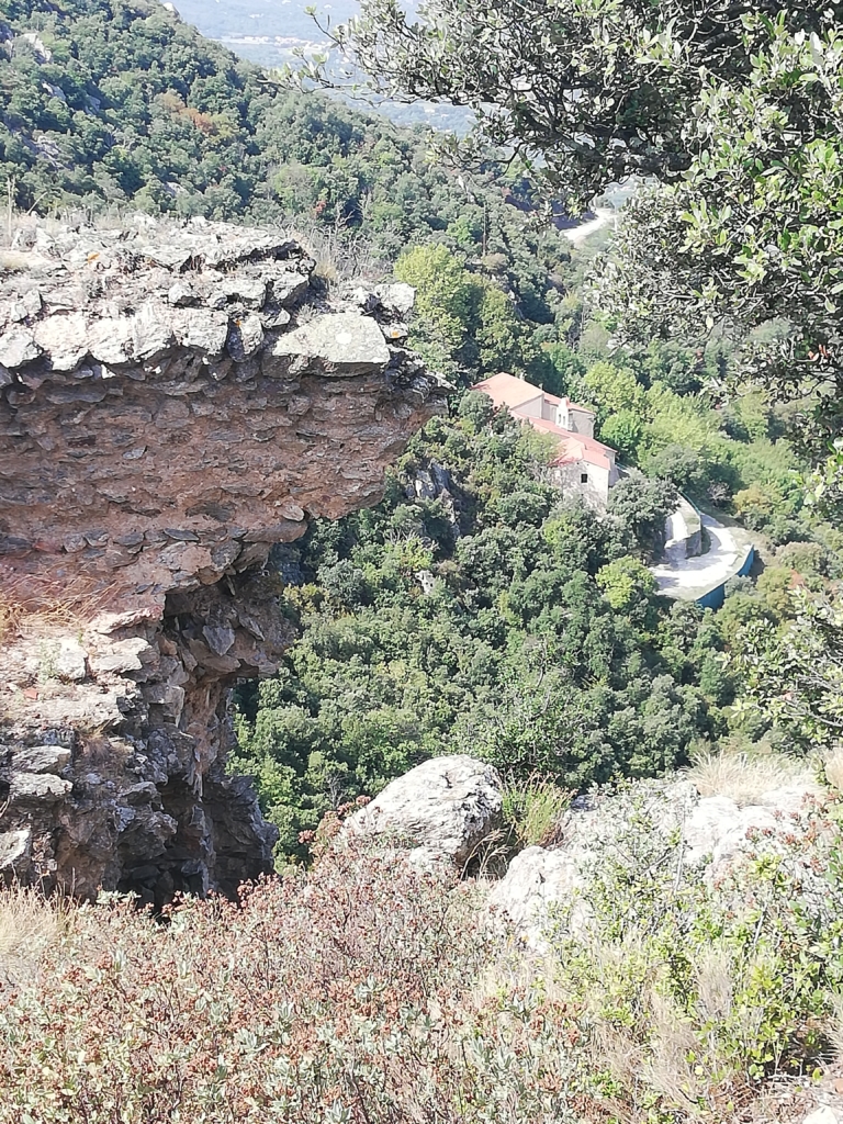
Turn left 25 metres to visit site of original Four Solaire where an information plaque gives its history.
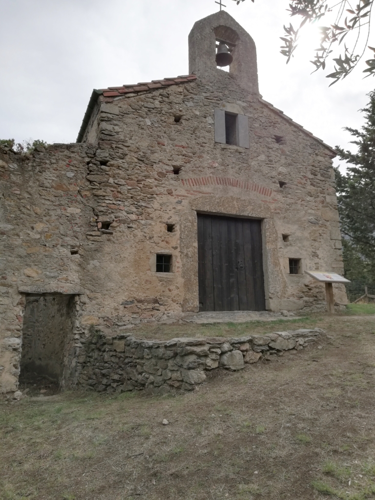
Then return to point you emerged from woodland and continue down to Ermitage Notre Dame. Join broad track to turn left below Ermitage. Continue 5 mins, passing small chapel, to junction with another broad track at a bend. Take lower level and quickly find waymarked footpath descending on right.
The rocky path emerges after 20 minutes on broad track. Turn right and follow it downwards, round hairpin bend. As track heads into another bend, take unsigned but easily distinguishable footpath descending on right. After a few minutes turn left on a flat area, at end of which the path bends right and continues downwards. Again, after about 15 mins emerge on a broad track/piste.
Turn right and follow piste for approximately 2 km, passing a citerne/water tank painted with a shark and sea creatures! After climbing so much in the first part of the walk you will regrettably find that the piste goes up rather than down in places!!
Finally, meet the point where you crossed this piste a few minutes from La Pava. Turn left on the path back to the village. Turn left on road and left again into footpath to retrace your steps down to the parking area.